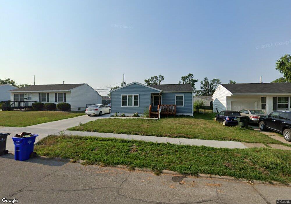
5601 Plainview Dr NW Cedar Rapids, IA 52405
Cherry Hill Park NeighborhoodEstimated Value: $171,792 - $192,000
3
Beds
2
Baths
1,022
Sq Ft
$179/Sq Ft
Est. Value
About This Home
This home is located at 5601 Plainview Dr NW, Cedar Rapids, IA 52405 and is currently estimated at $182,948, approximately $179 per square foot. 5601 Plainview Dr NW is a home located in Linn County with nearby schools including Maple Grove Elementary School, Taft Middle School, and Thomas Jefferson High School.
Ownership History
Date
Name
Owned For
Owner Type
Purchase Details
Closed on
Jan 25, 2020
Sold by
Ashby Shannon D and Ashby Carire L
Bought by
Ashby Carrie L and Carrie L Ashby Trust
Current Estimated Value
Purchase Details
Closed on
Feb 19, 2019
Sold by
Ashdan Investments Lc
Bought by
Ashby Carrie L and Ashby Shannon D
Purchase Details
Closed on
Dec 13, 2005
Sold by
Haddad Carrie A and Haddad Carrie L
Bought by
Ashdan Investments Lc
Home Financials for this Owner
Home Financials are based on the most recent Mortgage that was taken out on this home.
Original Mortgage
$80,000
Interest Rate
6.48%
Mortgage Type
Unknown
Purchase Details
Closed on
Jan 18, 2001
Sold by
Skogman Construction Co
Bought by
Haddad Carrie L
Home Financials for this Owner
Home Financials are based on the most recent Mortgage that was taken out on this home.
Original Mortgage
$90,781
Interest Rate
7.43%
Mortgage Type
FHA
Create a Home Valuation Report for This Property
The Home Valuation Report is an in-depth analysis detailing your home's value as well as a comparison with similar homes in the area
Home Values in the Area
Average Home Value in this Area
Purchase History
| Date | Buyer | Sale Price | Title Company |
|---|---|---|---|
| Ashby Carrie L | -- | None Available | |
| Ashby Carrie L | $109,000 | None Available | |
| Ashdan Investments Lc | $102,500 | None Available | |
| Haddad Carrie L | $91,000 | -- |
Source: Public Records
Mortgage History
| Date | Status | Borrower | Loan Amount |
|---|---|---|---|
| Previous Owner | Ashdan Investments Lc | $80,000 | |
| Previous Owner | Haddad Carrie L | $90,781 |
Source: Public Records
Tax History
| Year | Tax Paid | Tax Assessment Tax Assessment Total Assessment is a certain percentage of the fair market value that is determined by local assessors to be the total taxable value of land and additions on the property. | Land | Improvement |
|---|---|---|---|---|
| 2025 | $2,708 | $174,200 | $34,900 | $139,300 |
| 2024 | $2,826 | $162,400 | $30,600 | $131,800 |
| 2023 | $2,826 | $153,000 | $30,600 | $122,400 |
| 2022 | $2,666 | $134,000 | $26,200 | $107,800 |
| 2021 | $2,682 | $128,700 | $26,200 | $102,500 |
| 2020 | $2,682 | $121,600 | $23,300 | $98,300 |
| 2019 | $2,374 | $110,100 | $23,300 | $86,800 |
Source: Public Records
Map
Nearby Homes
- 408 Day St NW
- 448 Day St NW
- 159 Crestridge Dr NW
- 456 Mayberry Dr NW
- 5434 Gordon Ave NW
- 135 Eastview Dr NW
- 145 Belvedere Dr NW
- 281 Jacolyn Dr NW
- 323 Norwick Rd SW
- 236 Jacolyn Dr NW
- 108 Atwood Dr SW
- 5109 Spencer Dr SW
- 6235 Eastview Ave SW
- 6319 Eastview Ave SW
- 6118 Greenbriar Ln SW Unit D
- 4524 E Ave NW
- 6664 Sand Ct SW
- 332 Bezdek Dr NW
- 916 Blue Stone St NW
- 138 Autumn Woods Dr NW
- 5539 Plainview Dr NW
- 5614 Cedar Dr NW
- 5620 Cedar Dr NW
- 5521 Plainview Dr NW
- 5633 Plainview Dr NW
- 5600 Cedar Dr NW
- 5632 Cedar Dr NW
- 5501 Plainview Dr NW
- 5548 Cedar Dr NW
- 5600 Plainview Dr NW
- 5620 Plainview Dr NW
- 5632 Plainview Dr NW
- 5651 Plainview Dr NW
- 5520 Plainview Dr NW
- 5650 Cedar Dr NW
- 5540 Cedar Dr NW
- 5483 Plainview Dr NW
- 5642 Plainview Dr NW
- 308 Elder Ln NW
- 5619 Cedar Dr NW
Your Personal Tour Guide
Ask me questions while you tour the home.