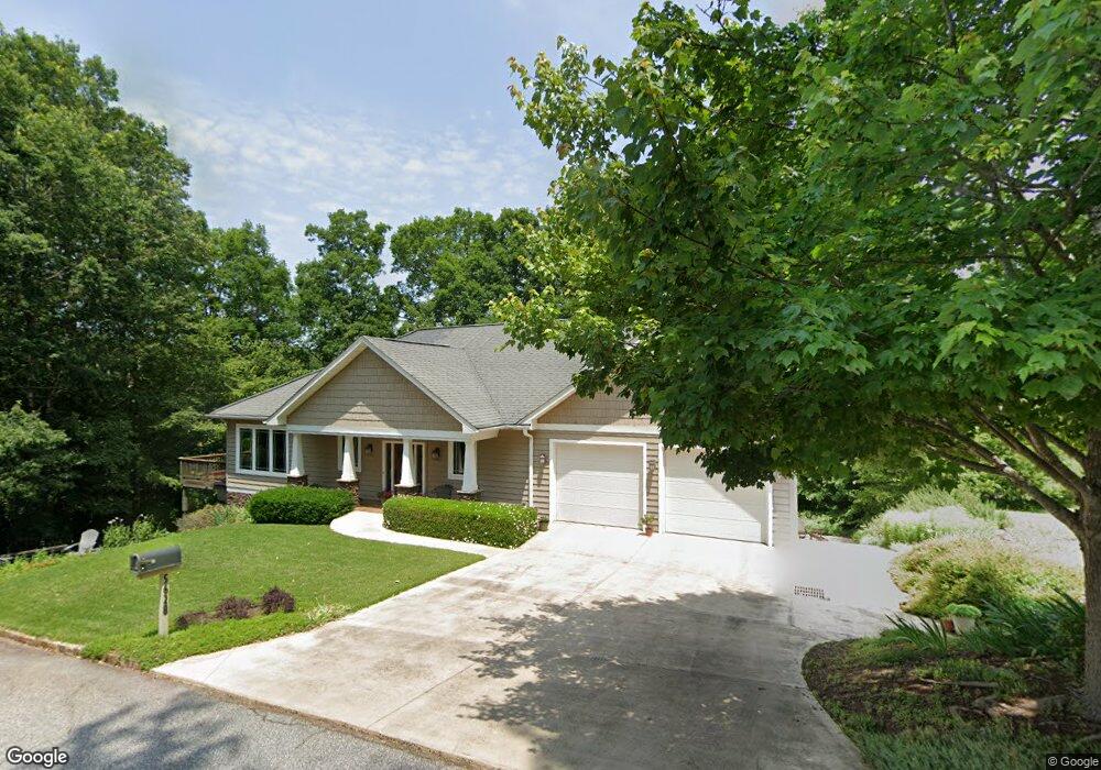
5628 Guy Rd Anderson, SC 29625
Estimated Value: $655,000 - $939,000
4
Beds
--
Bath
2,854
Sq Ft
$277/Sq Ft
Est. Value
About This Home
This home is located at 5628 Guy Rd, Anderson, SC 29625 and is currently estimated at $791,145, approximately $277 per square foot. 5628 Guy Rd is a home with nearby schools including Pendleton High School.
Ownership History
Date
Name
Owned For
Owner Type
Purchase Details
Closed on
Feb 27, 2023
Sold by
Johnson Beverly H
Bought by
Beverly H Johnson Revocable Trust
Current Estimated Value
Purchase Details
Closed on
Apr 2, 2014
Sold by
Reaser Robert E and Johnson Beverly H
Bought by
Reaser Robert E and Johnson Beverly H
Purchase Details
Closed on
Apr 29, 2008
Sold by
Reaser Robert E
Bought by
Reaser Robert E and Johnson Beverly H
Home Financials for this Owner
Home Financials are based on the most recent Mortgage that was taken out on this home.
Original Mortgage
$400,000
Interest Rate
5.84%
Mortgage Type
New Conventional
Create a Home Valuation Report for This Property
The Home Valuation Report is an in-depth analysis detailing your home's value as well as a comparison with similar homes in the area
Home Values in the Area
Average Home Value in this Area
Purchase History
| Date | Buyer | Sale Price | Title Company |
|---|---|---|---|
| Beverly H Johnson Revocable Trust | -- | -- | |
| Johnson Beverly H | -- | -- | |
| Reaser Robert E | -- | -- | |
| Reaser Robert E | -- | -- |
Source: Public Records
Mortgage History
| Date | Status | Borrower | Loan Amount |
|---|---|---|---|
| Previous Owner | Reaser Robert E | $400,000 |
Source: Public Records
Tax History
| Year | Tax Paid | Tax Assessment Tax Assessment Total Assessment is a certain percentage of the fair market value that is determined by local assessors to be the total taxable value of land and additions on the property. | Land | Improvement |
|---|---|---|---|---|
| 2024 | $1,957 | $70,370 | $32,010 | $38,360 |
| 2023 | $1,949 | $26,350 | $11,010 | $15,340 |
| 2022 | $2,045 | $26,350 | $11,010 | $15,340 |
| 2021 | $1,776 | $18,690 | $6,960 | $11,730 |
| 2020 | $1,750 | $18,690 | $6,960 | $11,730 |
| 2019 | $1,750 | $18,690 | $6,960 | $11,730 |
| 2018 | $1,764 | $18,690 | $6,960 | $11,730 |
| 2017 | -- | $18,690 | $6,960 | $11,730 |
| 2016 | $1,797 | $19,110 | $7,000 | $12,110 |
| 2015 | $1,809 | $19,110 | $7,000 | $12,110 |
| 2014 | $1,869 | $19,110 | $7,000 | $12,110 |
Source: Public Records
Map
Nearby Homes
- 5107 Davis Cir
- 00 Secession Way
- 1011 Arrowhead Point Rd
- 1108 Knox Rd
- Lot 107 Robinhood Rd
- Lot 113 Sky Ln
- Lot 94 Sky Ln
- Tract A Cann Rd
- Tract B Cann Rd
- 108 Cann Rd
- 360 Cann Rd
- 124 James Dr
- 348 Cann Rd
- 160 Inlet Pointe Dr
- 251 Inlet Pointe Dr
- Pinetree Rd
- 104 Inlet Pointe Dr
- Pinetree Rd
- 00 Nunnally Rd
- 154 Dogwood Rd
Your Personal Tour Guide
Ask me questions while you tour the home.