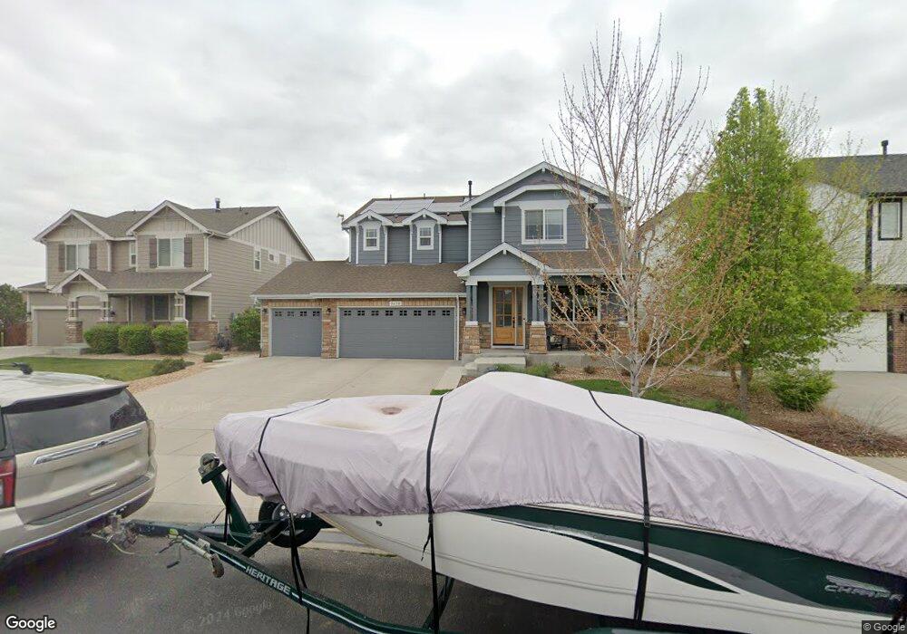
5638 Foxfire St Timnath, CO 80547
Estimated Value: $670,000 - $733,000
3
Beds
4
Baths
2,523
Sq Ft
$277/Sq Ft
Est. Value
About This Home
This home is located at 5638 Foxfire St, Timnath, CO 80547 and is currently estimated at $700,094, approximately $277 per square foot. 5638 Foxfire St is a home with nearby schools including Bethke Elementary School.
Ownership History
Date
Name
Owned For
Owner Type
Purchase Details
Closed on
Jan 7, 2021
Sold by
Lang James A
Bought by
Lang James A and Lang Dawn
Current Estimated Value
Home Financials for this Owner
Home Financials are based on the most recent Mortgage that was taken out on this home.
Original Mortgage
$257,000
Outstanding Balance
$229,373
Interest Rate
2.71%
Mortgage Type
New Conventional
Estimated Equity
$470,721
Purchase Details
Closed on
Dec 11, 2013
Sold by
Melody Homes Inc
Bought by
Lang James A
Home Financials for this Owner
Home Financials are based on the most recent Mortgage that was taken out on this home.
Original Mortgage
$297,069
Interest Rate
4.14%
Mortgage Type
New Conventional
Create a Home Valuation Report for This Property
The Home Valuation Report is an in-depth analysis detailing your home's value as well as a comparison with similar homes in the area
Home Values in the Area
Average Home Value in this Area
Purchase History
| Date | Buyer | Sale Price | Title Company |
|---|---|---|---|
| Lang James A | -- | None Available | |
| Lang James A | $371,337 | Heritage Title |
Source: Public Records
Mortgage History
| Date | Status | Borrower | Loan Amount |
|---|---|---|---|
| Open | Lang James A | $257,000 | |
| Closed | Lang James A | $297,069 |
Source: Public Records
Tax History Compared to Growth
Tax History
| Year | Tax Paid | Tax Assessment Tax Assessment Total Assessment is a certain percentage of the fair market value that is determined by local assessors to be the total taxable value of land and additions on the property. | Land | Improvement |
|---|---|---|---|---|
| 2025 | $6,231 | $46,003 | $11,511 | $34,492 |
| 2024 | $6,036 | $46,003 | $11,511 | $34,492 |
| 2022 | $4,889 | $34,167 | $7,993 | $26,174 |
| 2021 | $4,965 | $35,150 | $8,223 | $26,927 |
| 2020 | $4,794 | $33,748 | $7,751 | $25,997 |
| 2019 | $4,808 | $33,748 | $7,751 | $25,997 |
| 2018 | $4,373 | $32,241 | $8,294 | $23,947 |
| 2017 | $4,363 | $32,241 | $8,294 | $23,947 |
| 2016 | $4,057 | $29,881 | $5,890 | $23,991 |
| 2015 | $4,039 | $29,880 | $5,890 | $23,990 |
| 2014 | $3,306 | $24,350 | $4,780 | $19,570 |
Source: Public Records
Map
Nearby Homes
- 5622 Foxfire St
- 5543 Calgary St
- 6420 Tuxedo Park Rd
- 5606 Calgary St
- 5793 Quarry St
- 6504 Zimmerman Lake Rd
- 5801 Dressage St
- 5894 Graphite St
- 5865 Quarry St
- 6604 Neota Creek Ct
- 6411 Verna Ct
- 6071 Moran Rd
- 6054 Story Rd
- 6750 Rock River Rd
- 6121 Saddle Horn Dr
- 6113 Saddle Horn Dr
- 6120 Dutch Dr
- 6398 Verna Ct
- 6113 Saddlehorn Dr
- 6117 Gold Dust Rd
- 5654 Foxfire St
- 5670 Foxfire St
- 5637 Foxfire St
- 5669 Foxfire St
- 6420 Cloudburst Ave
- 5685 Foxfire St
- 5702 Foxfire St
- 5527 Claret St
- 5549 Claret St
- 6406 Cloudburst Ave
- 5636 Edgevale St
- 5573 Claret St
- 5701 Foxfire St
- 5652 Edgevale St
- 5718 Foxfire St
- 5587 Claret St
- 6392 Cloudburst Ave
- 5668 Edgevale St
- 6372 Mayfair Ave
- 5684 Edgevale St