564 Mcgill Rd Vincent, OH 45784
Estimated Value: $309,000 - $389,117
3
Beds
2
Baths
1,976
Sq Ft
$177/Sq Ft
Est. Value
About This Home
This home is located at 564 Mcgill Rd, Vincent, OH 45784 and is currently estimated at $349,029, approximately $176 per square foot. 564 Mcgill Rd is a home with nearby schools including Warren High School.
Ownership History
Date
Name
Owned For
Owner Type
Purchase Details
Closed on
Feb 22, 1996
Bought by
Valentine Jack R and Valentine Brend
Current Estimated Value
Create a Home Valuation Report for This Property
The Home Valuation Report is an in-depth analysis detailing your home's value as well as a comparison with similar homes in the area
Home Values in the Area
Average Home Value in this Area
Purchase History
| Date | Buyer | Sale Price | Title Company |
|---|---|---|---|
| Valentine Jack R | $117,000 | -- |
Source: Public Records
Tax History Compared to Growth
Tax History
| Year | Tax Paid | Tax Assessment Tax Assessment Total Assessment is a certain percentage of the fair market value that is determined by local assessors to be the total taxable value of land and additions on the property. | Land | Improvement |
|---|---|---|---|---|
| 2024 | $3,035 | $87,060 | $21,610 | $65,450 |
| 2023 | $3,039 | $87,060 | $21,610 | $65,450 |
| 2022 | $3,309 | $87,060 | $21,610 | $65,450 |
| 2021 | $1,780 | $40,720 | $11,470 | $29,250 |
| 2020 | $1,672 | $40,720 | $11,470 | $29,250 |
| 2019 | $1,650 | $40,720 | $11,470 | $29,250 |
| 2018 | $1,588 | $37,960 | $10,430 | $27,530 |
| 2017 | $1,692 | $40,670 | $10,430 | $30,240 |
| 2016 | $2,086 | $40,670 | $10,430 | $30,240 |
| 2015 | $1,493 | $39,580 | $9,720 | $29,860 |
| 2014 | $2,053 | $39,580 | $9,720 | $29,860 |
| 2013 | $1,448 | $39,580 | $9,720 | $29,860 |
Source: Public Records
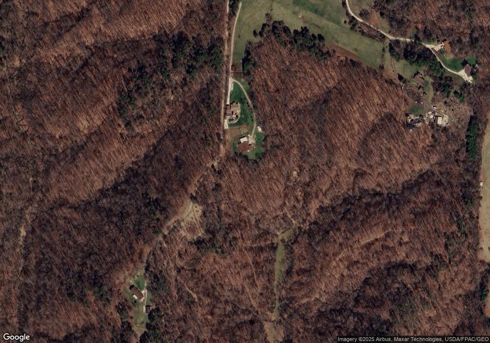
Map
Nearby Homes
- 28 Mcgill Rd
- 1556 Mcgill Rd
- 2207 Veto Rd
- 631 Short Brook Rd
- 852 Wallace Rd
- 464 Cave Hill Rd
- 0 Brackenridge Rd Unit 23885979
- 0 Brackenridge Rd Unit 23885976
- 265 James Ln
- 120 Fleming Dr
- 135 Knob Dr
- 1462 State Route 339
- 1396 State Route 339
- 735 Timberline Dr
- 19 Suzanne St
- 0 T1309
- 15 Oakmont Dr
- 545 Lewis Pointe Dr
- 6570 State Route 339
- 966 State Route 555