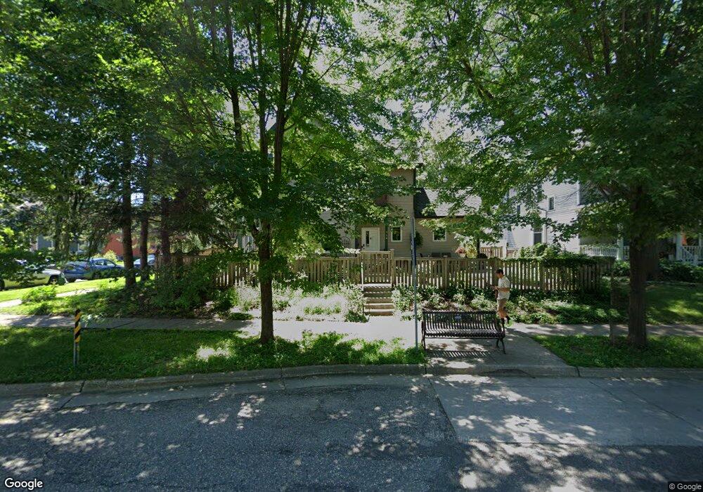
564 Selby Ave Saint Paul, MN 55102
Summit-University NeighborhoodEstimated Value: $385,000 - $457,000
3
Beds
3
Baths
2,775
Sq Ft
$152/Sq Ft
Est. Value
About This Home
This home is located at 564 Selby Ave, Saint Paul, MN 55102 and is currently estimated at $420,665, approximately $151 per square foot. 564 Selby Ave is a home located in Ramsey County with nearby schools including Maxfield Magnet Elementary School, Jackson Elementary, and Hidden River Middle School.
Ownership History
Date
Name
Owned For
Owner Type
Purchase Details
Closed on
Aug 26, 2015
Sold by
Pettyjohn Brenda J
Bought by
Spanjers Deanna M
Current Estimated Value
Home Financials for this Owner
Home Financials are based on the most recent Mortgage that was taken out on this home.
Original Mortgage
$239,920
Outstanding Balance
$188,570
Interest Rate
3.93%
Estimated Equity
$232,095
Purchase Details
Closed on
Apr 26, 2007
Sold by
Nelson Carl E and Nelson Gerda
Bought by
Pettyjohn Brenda J
Create a Home Valuation Report for This Property
The Home Valuation Report is an in-depth analysis detailing your home's value as well as a comparison with similar homes in the area
Home Values in the Area
Average Home Value in this Area
Purchase History
| Date | Buyer | Sale Price | Title Company |
|---|---|---|---|
| Spanjers Deanna M | $299,900 | Edina Realty Title Inc | |
| Pettyjohn Brenda J | $290,000 | -- |
Source: Public Records
Mortgage History
| Date | Status | Borrower | Loan Amount |
|---|---|---|---|
| Open | Spanjers Deanna M | $239,920 |
Source: Public Records
Tax History Compared to Growth
Tax History
| Year | Tax Paid | Tax Assessment Tax Assessment Total Assessment is a certain percentage of the fair market value that is determined by local assessors to be the total taxable value of land and additions on the property. | Land | Improvement |
|---|---|---|---|---|
| 2025 | $6,196 | $388,100 | $70,200 | $317,900 |
| 2023 | $6,196 | $396,600 | $70,200 | $326,400 |
| 2022 | $5,630 | $386,900 | $70,200 | $316,700 |
| 2021 | $5,182 | $351,900 | $70,200 | $281,700 |
| 2020 | $5,118 | $337,100 | $70,200 | $266,900 |
| 2019 | $5,246 | $311,600 | $28,600 | $283,000 |
| 2018 | $4,364 | $315,000 | $28,600 | $286,400 |
| 2017 | $3,946 | $273,800 | $28,600 | $245,200 |
| 2016 | $2,858 | $0 | $0 | $0 |
| 2015 | $2,490 | $188,900 | $28,600 | $160,300 |
| 2014 | $3,842 | $0 | $0 | $0 |
Source: Public Records
Map
Nearby Homes
- 505 Selby Ave Unit 1
- 518 Laurel Ave
- 182 MacKubin St Unit 1
- 214 MacKubin St Unit 214
- 487 Dayton Ave Unit 1
- 652 Dayton Ave
- 565 Holly Ave
- 545 Holly Ave
- 505 Holly Ave
- 483 Marshall Ave
- 681 Dayton Ave
- 480 Iglehart Ave
- 496 Holly Ave Unit 1
- 676 Ashland Ave Unit 6
- 542 Portland Ave
- 422 Laurel Ave
- 579 Summit Ave Unit 105
- 56 Arundel St Unit 10
- 704 Holly Ave
- 742 Hague Ave
- 165 Kent St
- 570 570 Selby Ave
- 570 570 Selby-Avenue-
- 570 Selby Ave Unit 2
- 570 Selby Ave Unit 1
- 570 Selby Ave Unit 3
- 570 Selby Ave
- 157 Kent St
- 574 Selby Ave
- 556 Selby Ave
- 565 Selby Ave
- 569 Selby Ave
- 571 Selby Ave
- 176 Kent St
- 580 Selby Ave
- 555 Selby Ave
- 162 Kent St
- 182 182 Kent-Street-
- 579 Selby Ave
- 553 Selby Ave