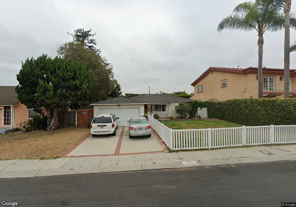
5643 W 79th St Los Angeles, CA 90045
Westchester NeighborhoodEstimated Value: $1,103,000 - $1,312,000
3
Beds
1
Bath
936
Sq Ft
$1,279/Sq Ft
Est. Value
About This Home
This home is located at 5643 W 79th St, Los Angeles, CA 90045 and is currently estimated at $1,197,259, approximately $1,279 per square foot. 5643 W 79th St is a home located in Los Angeles County with nearby schools including Westport Heights Elementary, Wright Middle School STEAM Magnet, and Westchester Enriched Sciences Magnets.
Ownership History
Date
Name
Owned For
Owner Type
Purchase Details
Closed on
Apr 10, 2008
Sold by
Odom Christine M
Bought by
Odom Christine M and Christine M Odom Revocable Living Trust
Current Estimated Value
Purchase Details
Closed on
Dec 1, 1993
Sold by
Zahn Edward H
Bought by
Odom Scott J and Odom Christine M
Home Financials for this Owner
Home Financials are based on the most recent Mortgage that was taken out on this home.
Original Mortgage
$167,200
Interest Rate
6.89%
Create a Home Valuation Report for This Property
The Home Valuation Report is an in-depth analysis detailing your home's value as well as a comparison with similar homes in the area
Home Values in the Area
Average Home Value in this Area
Purchase History
| Date | Buyer | Sale Price | Title Company |
|---|---|---|---|
| Odom Christine M | -- | None Available | |
| Odom Scott J | $209,000 | Gateway Title Company |
Source: Public Records
Mortgage History
| Date | Status | Borrower | Loan Amount |
|---|---|---|---|
| Closed | Odom Scott J | $167,200 |
Source: Public Records
Tax History Compared to Growth
Tax History
| Year | Tax Paid | Tax Assessment Tax Assessment Total Assessment is a certain percentage of the fair market value that is determined by local assessors to be the total taxable value of land and additions on the property. | Land | Improvement |
|---|---|---|---|---|
| 2025 | $4,441 | $355,198 | $284,170 | $71,028 |
| 2024 | $4,441 | $348,235 | $278,599 | $69,636 |
| 2023 | $4,361 | $341,408 | $273,137 | $68,271 |
| 2022 | $4,167 | $334,715 | $267,782 | $66,933 |
| 2021 | $4,113 | $328,153 | $262,532 | $65,621 |
| 2019 | $3,994 | $318,423 | $254,747 | $63,676 |
| 2018 | $3,937 | $312,180 | $249,752 | $62,428 |
| 2016 | $3,765 | $300,058 | $240,054 | $60,004 |
| 2015 | $3,712 | $295,552 | $236,449 | $59,103 |
| 2014 | $3,734 | $289,764 | $231,818 | $57,946 |
Source: Public Records
Map
Nearby Homes
- 5600 W 78th St
- 7701 Toland Ave
- 8130 Grimsby Ave
- 7803 Flight Ave
- 5529 W 79th St
- 5467 W 76th St
- 7701 Hindry Ave
- 5516 W 82nd St
- 7706 Hindry Ave
- 7559 Midfield Ave
- 5858 Abernathy Dr
- 5723 W 74th St
- 7562 Midfield Ave
- 8312 Barnsley Ave
- 8332 Barnsley Ave
- 5400 Thornburn St
- 5530 Thornburn St Unit 102
- 5506 Thornburn St
- 8418 Belford Ave
- 7860 Hindry Ave
- 5701 W 79th St
- 5637 W 79th St
- 5624 W 78th St
- 5630 W 78th St
- 5629 W 79th St
- 5707 W 79th St
- 5618 W 78th St
- 7900 Reading Ave
- 5636 W 78th St
- 5612 W 78th St
- 5623 W 79th St
- 7901 Reading Ave
- 5713 W 79th St
- 5630 W 79th St
- 5642 W 78th St
- 7906 Reading Ave
- 5606 W 78th St
- 7907 Reading Ave
- 5617 W 79th St
- 7909 Winsford Ave