5649 Us Highway 87 N Billings, MT 59105
Estimated Value: $715,000 - $1,025,122
5
Beds
4
Baths
3,800
Sq Ft
$232/Sq Ft
Est. Value
About This Home
This home is located at 5649 Us Highway 87 N, Billings, MT 59105 and is currently estimated at $880,041, approximately $231 per square foot. 5649 Us Highway 87 N is a home located in Yellowstone County with nearby schools including Independent Elementary School, Castle Rock Junior High School, and Skyview High School.
Ownership History
Date
Name
Owned For
Owner Type
Purchase Details
Closed on
Jan 4, 2012
Sold by
Carter Lon D and Carter Julie E
Bought by
Preshern Frank A and Preshern Karen
Current Estimated Value
Home Financials for this Owner
Home Financials are based on the most recent Mortgage that was taken out on this home.
Original Mortgage
$236,000
Outstanding Balance
$161,252
Interest Rate
3.91%
Mortgage Type
New Conventional
Estimated Equity
$718,789
Purchase Details
Closed on
Oct 18, 2007
Sold by
Vandegrift Glen A and Vandegrift Sandra J
Bought by
Carter Lon D and Carter Julie E
Create a Home Valuation Report for This Property
The Home Valuation Report is an in-depth analysis detailing your home's value as well as a comparison with similar homes in the area
Home Values in the Area
Average Home Value in this Area
Purchase History
| Date | Buyer | Sale Price | Title Company |
|---|---|---|---|
| Preshern Frank A | -- | None Available | |
| Carter Lon D | -- | None Available |
Source: Public Records
Mortgage History
| Date | Status | Borrower | Loan Amount |
|---|---|---|---|
| Open | Preshern Frank A | $236,000 |
Source: Public Records
Tax History Compared to Growth
Tax History
| Year | Tax Paid | Tax Assessment Tax Assessment Total Assessment is a certain percentage of the fair market value that is determined by local assessors to be the total taxable value of land and additions on the property. | Land | Improvement |
|---|---|---|---|---|
| 2025 | $5,542 | $1,055,000 | $126,687 | $928,313 |
| 2024 | $5,542 | $860,000 | $96,297 | $763,703 |
| 2023 | $5,535 | $860,000 | $96,297 | $763,703 |
| 2022 | $4,798 | $649,300 | $68,008 | $581,292 |
| 2021 | $4,809 | $649,300 | $0 | $0 |
| 2020 | $4,963 | $642,100 | $0 | $0 |
| 2019 | $4,991 | $642,100 | $0 | $0 |
| 2018 | $5,329 | $632,000 | $0 | $0 |
| 2017 | $5,352 | $632,000 | $0 | $0 |
| 2016 | $3,646 | $458,800 | $0 | $0 |
| 2015 | $4,890 | $660,500 | $0 | $0 |
| 2014 | $3,158 | $218,325 | $0 | $0 |
Source: Public Records
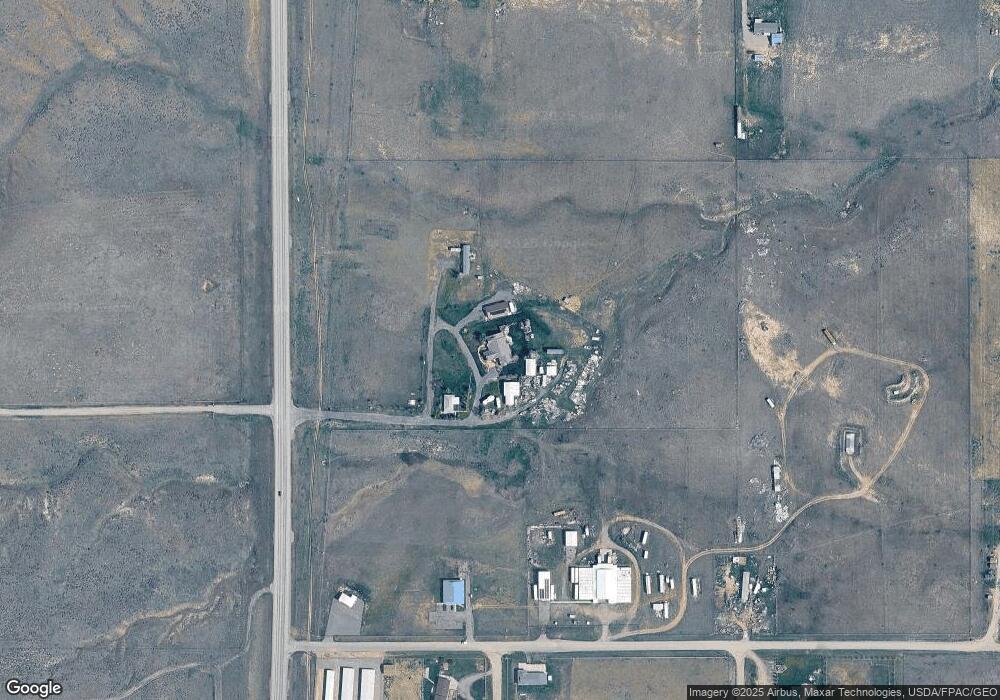
Map
Nearby Homes
- 5107 Country View Dr
- 0 Middle Valley Dr
- 4947 Middle Valley Dr
- 627 Pine Rock Blk 5 Lot 2 Trail
- 631 Pine Rock Blk 5 Lot 1 Trail
- Block 4, Lot 9 Pine Rock Trail
- TBD Pine Rock Blk 1 Lot 1 Trail
- 630 Pine Rock Blk 4 Lot 10 Trail
- TBD Sage Rock Blk 1 Lot 2 Trail
- 610 Pine Rock Trail
- TBD Pine Rock Blk 3 Lot 8 Trail
- TBD Sage Rock Blk 1 Lot 3 Trail
- 404 Pine Rock Blk 3 Lot 5 Trail
- 514 Pine Rock Blk 3 Lot 7 Trail
- 637 Sage Rock Blk 4 Lot 2 Trail
- TBD Ridge Rock Bk 2 Lot 6 Trail
- TBD Pine Rock Blk 3 Lot 6 Trail
- 627 Sage Rock Blk 4 Lot 3 Trail
- TBD Twisted Rock Blk 4 Lot 5 Trail
- TBD Sage Rock Bk 3 Lot 1 Trail
- 5649 Us Highway 87 N
- 947 High Ridge Dr
- 1000 Michael Ln
- 5555 Deadwood Dr
- 5542 Deadwood Dr
- 1155 High Ridge Dr
- 00 Highway 87
- 0 Highway 87
- 1110 Michael Ln
- 1111 High Ridge Dr
- 929 Michael Ln
- TBD Cedar Hill Place
- 1015 Cedar Hill Place
- 00 Cedar Hill Place
- LOT 6 Cedar Hill Place
- 839 Michael Ln
- 1124 Michael Ln
- 1010 Cedar Hill Place
- 5505 Deadwood Dr
- 5510 Deadwood Dr