5652 Toles Rd Eaton Rapids, MI 48827
Estimated Value: $264,000 - $346,000
3
Beds
2
Baths
1,248
Sq Ft
$256/Sq Ft
Est. Value
About This Home
This home is located at 5652 Toles Rd, Eaton Rapids, MI 48827 and is currently estimated at $319,992, approximately $256 per square foot. 5652 Toles Rd is a home located in Ingham County with nearby schools including Lockwood Elementary School, Greyhound Intermediate School, and Eaton Rapids Middle School.
Ownership History
Date
Name
Owned For
Owner Type
Purchase Details
Closed on
Jan 4, 2022
Sold by
Joanne Lyon Janice
Bought by
Lyon Janice Joanne
Current Estimated Value
Purchase Details
Closed on
Jan 23, 2014
Sold by
Lyon Jerry William and Lyon Janice Joanne
Bought by
Lyon Jerry William and Lyon Janice Joanne
Purchase Details
Closed on
Aug 7, 2009
Sold by
Lyon Jerry W and Lyon Janice J
Bought by
Lyon Jerry W and Lyon Janice J
Purchase Details
Closed on
Oct 1, 1997
Sold by
Listing Norma J
Bought by
Lyon Jerry W and Lyon Janice J
Create a Home Valuation Report for This Property
The Home Valuation Report is an in-depth analysis detailing your home's value as well as a comparison with similar homes in the area
Home Values in the Area
Average Home Value in this Area
Purchase History
| Date | Buyer | Sale Price | Title Company |
|---|---|---|---|
| Lyon Janice Joanne | -- | None Listed On Document | |
| Lyon Jerry William | -- | None Available | |
| Lyon Jerry Williamson | -- | None Available | |
| Lyon Jerry W | -- | None Available | |
| Lyon Jerry W | $127,000 | -- |
Source: Public Records
Tax History Compared to Growth
Tax History
| Year | Tax Paid | Tax Assessment Tax Assessment Total Assessment is a certain percentage of the fair market value that is determined by local assessors to be the total taxable value of land and additions on the property. | Land | Improvement |
|---|---|---|---|---|
| 2025 | $3,645 | $155,600 | $40,300 | $115,300 |
| 2024 | $13 | $149,500 | $39,900 | $109,600 |
| 2023 | $3,279 | $130,800 | $25,600 | $105,200 |
| 2022 | $3,050 | $114,400 | $30,800 | $83,600 |
| 2021 | $2,988 | $110,700 | $0 | $110,700 |
| 2020 | $2,191 | $102,000 | $28,500 | $73,500 |
| 2019 | $2,860 | $94,700 | $21,000 | $73,700 |
| 2018 | $2,762 | $88,800 | $21,000 | $67,800 |
| 2017 | $2,680 | $88,800 | $21,000 | $67,800 |
| 2016 | -- | $84,300 | $21,000 | $63,300 |
| 2015 | -- | $81,600 | $41,960 | $39,640 |
| 2014 | -- | $77,400 | $41,960 | $35,440 |
Source: Public Records
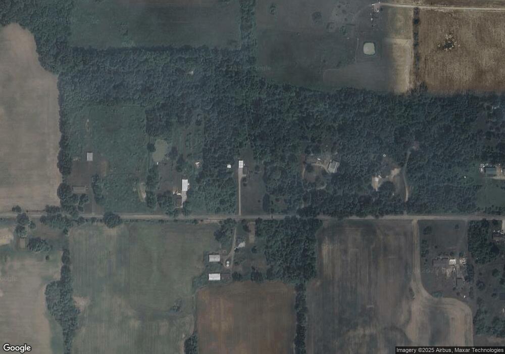
Map
Nearby Homes
- 5906 W Barnes Rd
- 2093 Gale Rd
- 2391 S Onondaga Rd
- 6042 W Plains Rd
- 4662 W Barnes Rd
- 2511 Gould Rd
- 6401 Curtice Rd
- 1953 S Aurelius Rd
- 372 S Eifert Rd
- 2318 Arch Rd
- 119 Branson Bay Dr
- 0 Ferris Unit 290887
- 5485 W Columbia Rd
- 4939 W Columbia Rd
- 1756 S Edgar Rd
- 1822 S Michigan Rd
- 0 Bond Rd Unit 291019
- 0 S Edgar Rd Lot I
- 466 Blue Spruce Ln Unit 55
- Parcel H Dawn Marie Ln
- 5570 Toles Rd
- 5657 Toles Rd
- 5692 Toles Rd
- 5754 Toles Rd
- 5550 W Toles Rd
- V/L Toles Rd
- 1420 Onondaga Rd
- 5547 Toles Rd
- 5769 Toles Rd
- 5515 Toles Rd
- 1448 Onondaga Rd
- 1498 Onondaga Rd
- 1449 Onondaga Rd
- 1511 S Onondaga Rd
- 1360 Onondaga Rd
- 1350 Onondaga Rd
- 1581 S Onondaga Rd
- 1288 Onondaga Rd
- 1550 S Onondaga Rd