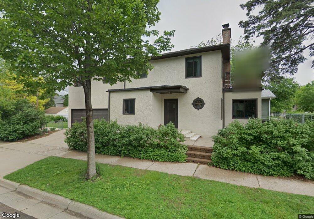
566 Syndicate St S Saint Paul, MN 55116
Highland Park NeighborhoodEstimated Value: $457,238 - $534,000
3
Beds
2
Baths
1,734
Sq Ft
$289/Sq Ft
Est. Value
About This Home
This home is located at 566 Syndicate St S, Saint Paul, MN 55116 and is currently estimated at $501,060, approximately $288 per square foot. 566 Syndicate St S is a home located in Ramsey County with nearby schools including Expo for Excellence Elementary School, Highland Park Middle School, and Highland Park Senior High.
Ownership History
Date
Name
Owned For
Owner Type
Purchase Details
Closed on
Sep 29, 2017
Sold by
Berg Tyler and Berg Molle
Bought by
Clark Anastasia and Clark Stephan
Current Estimated Value
Home Financials for this Owner
Home Financials are based on the most recent Mortgage that was taken out on this home.
Original Mortgage
$323,000
Outstanding Balance
$270,085
Interest Rate
3.86%
Mortgage Type
New Conventional
Estimated Equity
$230,975
Purchase Details
Closed on
Jul 13, 2017
Sold by
Blais Jonathan G and Blais Susan M
Bought by
Berg Tyler and Berg Mollie
Home Financials for this Owner
Home Financials are based on the most recent Mortgage that was taken out on this home.
Original Mortgage
$285,000
Interest Rate
3.88%
Mortgage Type
New Conventional
Create a Home Valuation Report for This Property
The Home Valuation Report is an in-depth analysis detailing your home's value as well as a comparison with similar homes in the area
Home Values in the Area
Average Home Value in this Area
Purchase History
| Date | Buyer | Sale Price | Title Company |
|---|---|---|---|
| Clark Anastasia | $350,303 | Watermark Title Atgency | |
| Berg Tyler | $325,000 | Titlesmart Inc |
Source: Public Records
Mortgage History
| Date | Status | Borrower | Loan Amount |
|---|---|---|---|
| Open | Clark Anastasia | $323,000 | |
| Previous Owner | Berg Tyler | $285,000 |
Source: Public Records
Tax History Compared to Growth
Tax History
| Year | Tax Paid | Tax Assessment Tax Assessment Total Assessment is a certain percentage of the fair market value that is determined by local assessors to be the total taxable value of land and additions on the property. | Land | Improvement |
|---|---|---|---|---|
| 2025 | $6,734 | $442,300 | $122,400 | $319,900 |
| 2023 | $6,734 | $396,300 | $122,400 | $273,900 |
| 2022 | $6,208 | $382,400 | $122,400 | $260,000 |
| 2021 | $5,736 | $360,300 | $122,400 | $237,900 |
| 2020 | $5,728 | $358,700 | $122,400 | $236,300 |
| 2019 | $5,652 | $345,600 | $122,400 | $223,200 |
| 2018 | $3,914 | $337,400 | $122,400 | $215,000 |
| 2017 | $3,740 | $248,300 | $122,400 | $125,900 |
| 2016 | $3,938 | $0 | $0 | $0 |
| 2015 | $3,750 | $233,900 | $102,000 | $131,900 |
| 2014 | $4,422 | $0 | $0 | $0 |
Source: Public Records
Map
Nearby Homes
- 1240 Hartford Ave
- 633 Griggs St S
- 1205 Eleanor Ave
- 1259 Randolph Ave
- 1303 Randolph Ave
- 555 Montcalm Place
- 1368 Eleanor Ave
- 576 Lexington Pkwy S
- 1145 Randolph Ave
- 1129 Randolph Ave
- 528 Lexington Pkwy S
- 1116 James Ave
- 1396 Palace Ave
- 1287 Juliet Ave
- 1477 Eleanor Ave
- 1368 Pleasant Ave
- 1071 Otto Ave
- 1153 Juliet Ave
- 791 Lexington Pkwy S
- 1501 Eleanor Ave
- 1271 Watson Ave
- 1283 Watson Ave
- 1267 Watson Ave
- 1285 Watson Ave
- 1278 Niles Ave
- 1274 Niles Ave
- 1270 Niles Ave
- 1280 Niles Ave
- 1289 Watson Ave
- 1276 Watson Ave
- 1266 Niles Ave
- 1257 Watson Ave
- 1284 Niles Ave
- 1270 Watson Ave
- 1280 Watson Ave
- 1262 Niles Ave
- 1295 Watson Ave
- 1266 Watson Ave
- 1288 Niles Ave
- 1284 Watson Ave