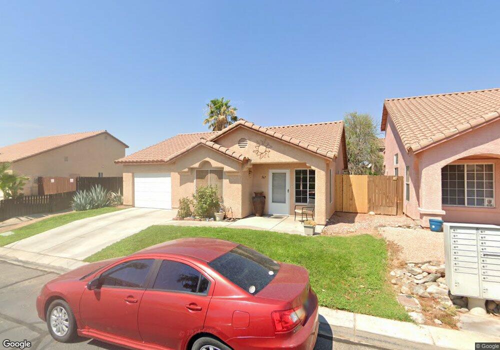
567 Lonesome Dove Dr Mesquite, NV 89027
Estimated Value: $286,564 - $296,000
2
Beds
2
Baths
1,230
Sq Ft
$237/Sq Ft
Est. Value
About This Home
This home is located at 567 Lonesome Dove Dr, Mesquite, NV 89027 and is currently estimated at $291,141, approximately $236 per square foot. 567 Lonesome Dove Dr is a home located in Clark County with nearby schools including Virgin Valley Elementary School, Charles Arthur Hughes Middle School, and Virgin Valley High School.
Ownership History
Date
Name
Owned For
Owner Type
Purchase Details
Closed on
Feb 18, 2003
Sold by
Stone Creek Mesquite Llc
Bought by
Olsen Earlow B and Olsen Verna
Current Estimated Value
Home Financials for this Owner
Home Financials are based on the most recent Mortgage that was taken out on this home.
Original Mortgage
$111,800
Outstanding Balance
$59,128
Interest Rate
5.89%
Estimated Equity
$232,013
Create a Home Valuation Report for This Property
The Home Valuation Report is an in-depth analysis detailing your home's value as well as a comparison with similar homes in the area
Home Values in the Area
Average Home Value in this Area
Purchase History
| Date | Buyer | Sale Price | Title Company |
|---|---|---|---|
| Olsen Earlow B | $111,800 | Nevada Title Company |
Source: Public Records
Mortgage History
| Date | Status | Borrower | Loan Amount |
|---|---|---|---|
| Open | Olsen Earlow B | $111,800 |
Source: Public Records
Tax History Compared to Growth
Tax History
| Year | Tax Paid | Tax Assessment Tax Assessment Total Assessment is a certain percentage of the fair market value that is determined by local assessors to be the total taxable value of land and additions on the property. | Land | Improvement |
|---|---|---|---|---|
| 2025 | $1,131 | $77,222 | $22,050 | $55,172 |
| 2024 | $1,099 | $77,222 | $22,050 | $55,172 |
| 2023 | $1,099 | $73,113 | $21,000 | $52,113 |
| 2022 | $1,067 | $64,450 | $16,800 | $47,650 |
| 2021 | $1,036 | $60,993 | $15,750 | $45,243 |
| 2020 | $1,004 | $59,599 | $14,700 | $44,899 |
| 2019 | $941 | $57,135 | $12,950 | $44,185 |
| 2018 | $898 | $52,714 | $10,150 | $42,564 |
| 2017 | $1,329 | $47,681 | $9,100 | $38,581 |
| 2016 | $840 | $43,649 | $8,050 | $35,599 |
| 2015 | $838 | $33,380 | $6,300 | $27,080 |
| 2014 | $813 | $29,941 | $7,000 | $22,941 |
Source: Public Records
Map
Nearby Homes
- 463 Hagens Aly
- 375 Habib Way
- 364 Sam Way
- 294 Sam Way
- 287 Sam Way
- Beckett Plan at The Fields
- Weston Plan at The Fields
- Graham Plan at The Fields
- 254 Reber Dr
- 271 Concord Dr
- 777 2nd St S
- 581 Emperor Ln Unit 1
- 228 Hiawatha Way
- 262 Thistle St
- 162 Hermosa Way
- 840 W Pioneer
- 1389 Harbour Dr
- 844 Sagedell Rd
- 517 W Mesquite Blvd
- 844 Glendale Rd
- 561 Lonesome Dove Dr
- 575 Lonesome Dove Dr
- 570 Cascade Ave
- 566 Cascade Ave
- 553 Lonesome Dove Dr
- 553 Lonesome Dove Dr
- 893 Tucson St
- 560 Cascade Ave
- 892 Tucson St
- 890 Sandbar St
- 545 Lonesome Dove Dr
- 889 Tucson St
- 552 Cascade Ave
- 888 Tucson St
- 886 Sandbar St
- 913 Riverbend Dr
- 539 Lonesome Dove Dr
- 916 Riverbend Dr
- 885 Tucson St
- 544 Cascade Ave