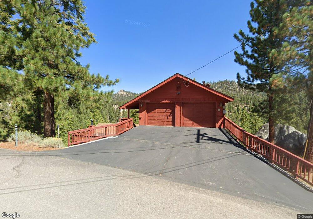
569 Buchanan Rd State Line, NV 89449
Estimated Value: $2,097,625 - $2,364,000
4
Beds
4
Baths
3,750
Sq Ft
$594/Sq Ft
Est. Value
About This Home
This home is located at 569 Buchanan Rd, State Line, NV 89449 and is currently estimated at $2,228,656, approximately $594 per square foot. 569 Buchanan Rd is a home located in Douglas County with nearby schools including Zephyr Cove Elementary School, George Whittell High School, and Douglas County High School.
Ownership History
Date
Name
Owned For
Owner Type
Purchase Details
Closed on
Sep 23, 2010
Sold by
Kalhammer Frederick A and Kalhammer Jacquelyn J
Bought by
Browne Richard and Browne Teresa
Current Estimated Value
Purchase Details
Closed on
Apr 12, 2010
Sold by
Kalhammer Jacquelyn and Kalhammer Frederick
Bought by
Kalhammer Frederick A and Kalhammer Jacquelyn J
Home Financials for this Owner
Home Financials are based on the most recent Mortgage that was taken out on this home.
Original Mortgage
$415,500
Interest Rate
4.94%
Mortgage Type
New Conventional
Create a Home Valuation Report for This Property
The Home Valuation Report is an in-depth analysis detailing your home's value as well as a comparison with similar homes in the area
Home Values in the Area
Average Home Value in this Area
Purchase History
| Date | Buyer | Sale Price | Title Company |
|---|---|---|---|
| Browne Richard | $862,000 | Stewart Title Carson | |
| Kalhammer Frederick A | -- | Stewart Title Carson | |
| Kalhammer Frederick A | -- | Servicelink |
Source: Public Records
Mortgage History
| Date | Status | Borrower | Loan Amount |
|---|---|---|---|
| Previous Owner | Kalhammer Frederick A | $415,500 |
Source: Public Records
Tax History
| Year | Tax Paid | Tax Assessment Tax Assessment Total Assessment is a certain percentage of the fair market value that is determined by local assessors to be the total taxable value of land and additions on the property. | Land | Improvement |
|---|---|---|---|---|
| 2026 | $8,534 | $280,185 | $140,000 | $140,185 |
| 2025 | $8,052 | $278,086 | $133,000 | $145,086 |
| 2024 | $8,052 | $280,252 | $133,000 | $147,252 |
| 2023 | $7,488 | $269,949 | $133,000 | $136,949 |
| 2022 | $6,911 | $252,841 | $124,250 | $128,591 |
| 2021 | $6,403 | $242,221 | $119,000 | $123,221 |
| 2020 | $6,194 | $240,629 | $119,000 | $121,629 |
| 2019 | $5,982 | $239,443 | $119,000 | $120,443 |
| 2018 | $5,709 | $231,335 | $113,750 | $117,585 |
| 2017 | $5,485 | $232,260 | $113,750 | $118,510 |
| 2016 | $5,350 | $225,236 | $105,000 | $120,236 |
| 2015 | $5,334 | $225,236 | $105,000 | $120,236 |
| 2014 | $5,169 | $217,799 | $105,000 | $112,799 |
Source: Public Records
Map
Nearby Homes
- 214 Highland Dr
- 692 Kingsbury Grade Rd
- 109 Sierra Colina Dr
- 130 Granite Crest Dr
- 227 S Benjamin Dr Unit B
- 716 Tina Ct
- 219 S Benjamin Dr Unit B
- 710 Tina Ct Unit B-2
- 718 Kingsbury Grade Rd Unit B
- 722 Gary Ln
- 753 Bigler Cir
- 151 Palisades Dr Unit 7
- 146 Tramway Dr
- 111 Tramway Dr Unit 5
- 179 Tramway Dr Unit B
- 179 Tramway Dr Unit A
- 759 Boulder Ct Unit A
- 396 Sherwood Dr
- 767 Little Dipper Ct Unit C
- 754 Boulder Ct Unit 2
- 178 Buchanan Rd
- 565 Buchanan Rd
- 574 Buchanan Rd
- 563 Ansaldo Acres Dr
- 565 Ansaldo Acres Dr
- 559 Ansaldo Acres Dr
- 569 Ansaldo Acres Dr
- 563 Ansaldo Acres Rd
- 576 Buchanan Rd
- 571 Ansaldo Acres Dr
- 579 Buchanan Rd
- 555 Buchanan Rd
- 575 Kingsbury Grade Rd
- 575 Ansaldo Acres Rd
- 220 Logging Rd
- 245 Logging Rd
- 230 Logging Rd
- 240 Logging Rd
- 600 Nevada 207
- 600 Nevada 207
Your Personal Tour Guide
Ask me questions while you tour the home.