57 Barbara Ln Hudson, NH 03051
Estimated Value: $536,073 - $564,000
3
Beds
3
Baths
2,091
Sq Ft
$264/Sq Ft
Est. Value
About This Home
This home is located at 57 Barbara Ln, Hudson, NH 03051 and is currently estimated at $552,518, approximately $264 per square foot. 57 Barbara Ln is a home located in Hillsborough County with nearby schools including White Wing School, Tabernacle Christian School, and Clearway High School.
Ownership History
Date
Name
Owned For
Owner Type
Purchase Details
Closed on
Aug 22, 2014
Sold by
Moparthi Prasada and Moparthu Sudharani
Bought by
Moparthi Prasada
Current Estimated Value
Home Financials for this Owner
Home Financials are based on the most recent Mortgage that was taken out on this home.
Original Mortgage
$185,000
Outstanding Balance
$141,220
Interest Rate
4.14%
Mortgage Type
Purchase Money Mortgage
Estimated Equity
$411,298
Purchase Details
Closed on
Aug 31, 2004
Sold by
Murrah Stefan C
Bought by
Moparthi Prasada
Purchase Details
Closed on
May 30, 2000
Sold by
Ashwood Dev Co Inc
Bought by
Murrah Stefan C
Create a Home Valuation Report for This Property
The Home Valuation Report is an in-depth analysis detailing your home's value as well as a comparison with similar homes in the area
Home Values in the Area
Average Home Value in this Area
Purchase History
| Date | Buyer | Sale Price | Title Company |
|---|---|---|---|
| Moparthi Prasada | -- | -- | |
| Moparthi Prasada | $268,000 | -- | |
| Murrah Stefan C | $158,700 | -- |
Source: Public Records
Mortgage History
| Date | Status | Borrower | Loan Amount |
|---|---|---|---|
| Open | Moparthi Prasada | $185,000 | |
| Previous Owner | Murrah Stefan C | $184,000 | |
| Previous Owner | Murrah Stefan C | $190,800 | |
| Previous Owner | Murrah Stefan C | $194,000 |
Source: Public Records
Tax History Compared to Growth
Tax History
| Year | Tax Paid | Tax Assessment Tax Assessment Total Assessment is a certain percentage of the fair market value that is determined by local assessors to be the total taxable value of land and additions on the property. | Land | Improvement |
|---|---|---|---|---|
| 2024 | $6,338 | $385,300 | $0 | $385,300 |
| 2023 | $6,042 | $385,300 | $0 | $385,300 |
| 2022 | $5,553 | $378,000 | $0 | $378,000 |
| 2021 | $5,855 | $270,200 | $0 | $270,200 |
| 2020 | $5,738 | $268,500 | $0 | $268,500 |
| 2019 | $5,445 | $268,500 | $0 | $268,500 |
| 2018 | $5,397 | $268,500 | $0 | $268,500 |
| 2017 | $5,295 | $268,500 | $0 | $268,500 |
| 2016 | $5,453 | $248,200 | $0 | $248,200 |
| 2015 | $5,274 | $248,200 | $0 | $248,200 |
| 2014 | $5,170 | $248,200 | $0 | $248,200 |
| 2013 | $5,132 | $249,600 | $0 | $249,600 |
Source: Public Records
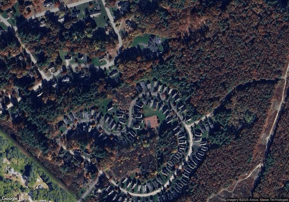
Map
Nearby Homes
- 10 Wagner Way
- 11 Scottsdale Dr
- 36 Sutherland Dr
- 11 Cardinal Dr
- 3 Robin Dr
- 73 Ferry St
- 40B Brackett Ln
- 16 Evergreen Dr
- 9 Sunshine Dr Unit A
- 152 Ferry St
- 29 Derry St
- 434 Abbott Farm Ln
- 312 Abbott Farm Ln
- 27 Amanda Dr
- 319 Fox Run Rd
- 21 Library St
- 9 Doveton Ln Unit B
- 27 Alvirne Dr
- 5 Shoreline Dr Unit 14
- 37 Library St
- 131 Barbara Ln
- 85 Barbara Ln
- 41 Barbara Ln
- 132 Barbara Ln
- 100 Barbara Ln
- 98 Barbara Ln
- 94 Barbara Ln
- 57 Barbara Ln Unit 57
- 98 Barbara Ln Unit 48
- 57 Barbara Ln Unit 91
- 105 Barbara Ln
- 88 Barbara Ln
- 62 Barbara Ln
- 26 Barbara Ln
- 10 Barbara Ln
- 14 Melissa Trail
- 135 Barbara Ln
- 133 Barbara Ln
- 123 Barbara Ln
- 119 Barbara Ln