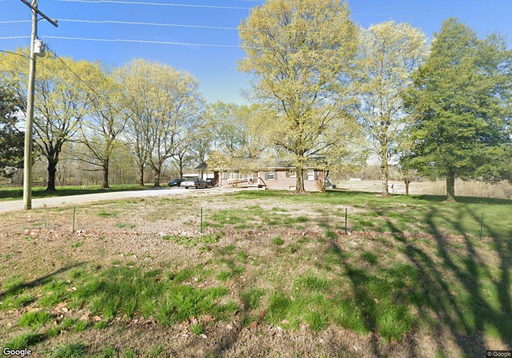
57 Peppertown Rd Loretto, TN 38469
Estimated Value: $114,000 - $350,000
Studio
1
Bath
1,372
Sq Ft
$151/Sq Ft
Est. Value
About This Home
This home is located at 57 Peppertown Rd, Loretto, TN 38469 and is currently estimated at $207,743, approximately $151 per square foot. 57 Peppertown Rd is a home located in Lawrence County with nearby schools including South Lawrence Elementary School, Lawrenceburg Public Elementary School, and Ingram Sowell Elementary School.
Ownership History
Date
Name
Owned For
Owner Type
Purchase Details
Closed on
Jan 29, 2021
Sold by
Mijrks Deborah
Bought by
Murks Deborah and The Deborah Murks Family Livin
Current Estimated Value
Purchase Details
Closed on
Oct 6, 2000
Sold by
Daniel Freemon J
Bought by
Neal Norwood
Purchase Details
Closed on
Jul 31, 2000
Sold by
Ricky Murks
Bought by
Daniel Freemon J
Purchase Details
Closed on
Apr 28, 1995
Sold by
Ricky Murks
Bought by
Paul Tumer
Purchase Details
Closed on
Jul 20, 1989
Bought by
Murks Ricky and Murks Deborah
Purchase Details
Closed on
Aug 14, 1985
Bought by
Murks Ricky and Murks Deborah
Purchase Details
Closed on
Jan 3, 1900
Purchase Details
Closed on
Jan 2, 1900
Create a Home Valuation Report for This Property
The Home Valuation Report is an in-depth analysis detailing your home's value as well as a comparison with similar homes in the area
Purchase History
| Date | Buyer | Sale Price | Title Company |
|---|---|---|---|
| Murks Deborah | $21,653 | None Available | |
| Neal Norwood | $45,000 | -- | |
| Daniel Freemon J | $34,000 | -- | |
| Paul Tumer | $300 | -- | |
| Murks Ricky | -- | -- | |
| Murks Ricky | -- | -- | |
| -- | -- | -- | |
| -- | -- | -- |
Source: Public Records
Tax History
| Year | Tax Paid | Tax Assessment Tax Assessment Total Assessment is a certain percentage of the fair market value that is determined by local assessors to be the total taxable value of land and additions on the property. | Land | Improvement |
|---|---|---|---|---|
| 2025 | $622 | $30,925 | $6,750 | $24,175 |
| 2024 | $622 | $30,925 | $6,750 | $24,175 |
| 2023 | $622 | $30,925 | $6,750 | $24,175 |
| 2022 | $622 | $30,925 | $6,750 | $24,175 |
| 2021 | $599 | $20,250 | $4,550 | $15,700 |
| 2020 | $599 | $20,250 | $4,550 | $15,700 |
| 2019 | $599 | $20,250 | $4,550 | $15,700 |
| 2018 | $599 | $20,250 | $4,550 | $15,700 |
| 2017 | $599 | $20,250 | $4,550 | $15,700 |
| 2016 | $599 | $20,250 | $4,550 | $15,700 |
| 2015 | $555 | $20,250 | $4,550 | $15,700 |
| 2014 | $535 | $19,550 | $4,550 | $15,000 |
Source: Public Records
Map
Nearby Homes
- 1349 Lexington Hwy
- 25 Peters Ln
- 2 Farris Ln
- 336 Second Creek Rd
- 342 Second Creek Rd
- 560 State Line Rd
- 1 County Road 496
- 2 County Road 496
- 496 County Road 496 Unit LotWP001
- 0 County Road 496 Unit LotWP002 23933600
- 200 Bear Dr
- 0 Hwy 64 Unit 522189
- 28 Acres Alabama 64
- 205 Dixon Branch Rd
- 140 Taylor Kizer St
- 200 Beartown Rd
- 1843 County Road 59
- 198 Beartown Rd
- 176 Beartown Rd
- 188 Beartown Rd
- 58 Peppertown Rd
- 56 Peppertown Rd
- 69 Peppertown Rd
- 68 Peppertown Rd
- 41 Peppertown Rd
- 72 Peppertown Rd
- 39 Peppertown Rd
- 38 Peppertown Rd
- 81 Peppertown Rd
- 28 Peppertown Rd
- 1160 Lexington Hwy
- 1154 Lexington Hwy
- 1178 Lexington Hwy
- 89 Peppertown Rd
- 1165 Lexington Hwy
- 243 Legg Ln
- 1128 Lexington Hwy
- 1189 Lexington Hwy
- 1206 Lexington Hwy
- 111 Peppertown Rd
Your Personal Tour Guide
Ask me questions while you tour the home.