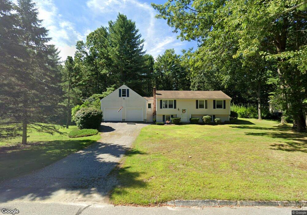
57 Toftree Ln Dover, NH 03820
Dover Point NeighborhoodEstimated Value: $500,021 - $589,000
3
Beds
1
Bath
1,360
Sq Ft
$393/Sq Ft
Est. Value
About This Home
This home is located at 57 Toftree Ln, Dover, NH 03820 and is currently estimated at $534,755, approximately $393 per square foot. 57 Toftree Ln is a home located in Strafford County with nearby schools including Garrison School, Dover Middle School, and Dover Senior High School.
Create a Home Valuation Report for This Property
The Home Valuation Report is an in-depth analysis detailing your home's value as well as a comparison with similar homes in the area
Home Values in the Area
Average Home Value in this Area
Tax History Compared to Growth
Tax History
| Year | Tax Paid | Tax Assessment Tax Assessment Total Assessment is a certain percentage of the fair market value that is determined by local assessors to be the total taxable value of land and additions on the property. | Land | Improvement |
|---|---|---|---|---|
| 2024 | $8,427 | $463,800 | $197,300 | $266,500 |
| 2023 | $8,032 | $429,500 | $197,300 | $232,200 |
| 2022 | $8,164 | $411,500 | $197,300 | $214,200 |
| 2021 | $7,886 | $363,400 | $175,000 | $188,400 |
| 2020 | $7,681 | $309,100 | $153,500 | $155,600 |
| 2019 | $7,429 | $294,900 | $142,500 | $152,400 |
| 2018 | $7,314 | $293,500 | $142,500 | $151,000 |
| 2017 | $6,488 | $250,800 | $104,200 | $146,600 |
| 2016 | $6,247 | $237,600 | $104,200 | $133,400 |
| 2015 | $6,237 | $234,400 | $104,200 | $130,200 |
| 2014 | $6,097 | $234,400 | $104,200 | $130,200 |
| 2011 | $5,665 | $225,500 | $88,400 | $137,100 |
Source: Public Records
Map
Nearby Homes
- 51 Constitution Way
- 6 Revolution Dr
- 4 Freedom Dr
- 14 Independence Dr
- 9 Old Colony Rd
- 1 Independence Dr
- 55 Pointe Place Unit 108
- 55 Pointe Place Unit 208
- 55 Pointe Place Unit 207
- 55 Pointe Place Unit 304
- 25 Dover Point Rd
- 38 Tideview Dr
- 20 Village Dr
- 15 Dover Point Rd
- 31 Rosanna Dr
- 25 Leathers Ln
- 19 Lenox Dr Unit A
- 142 Katie Ln
- 52 Katie Ln
- 2 Shamrock Ln