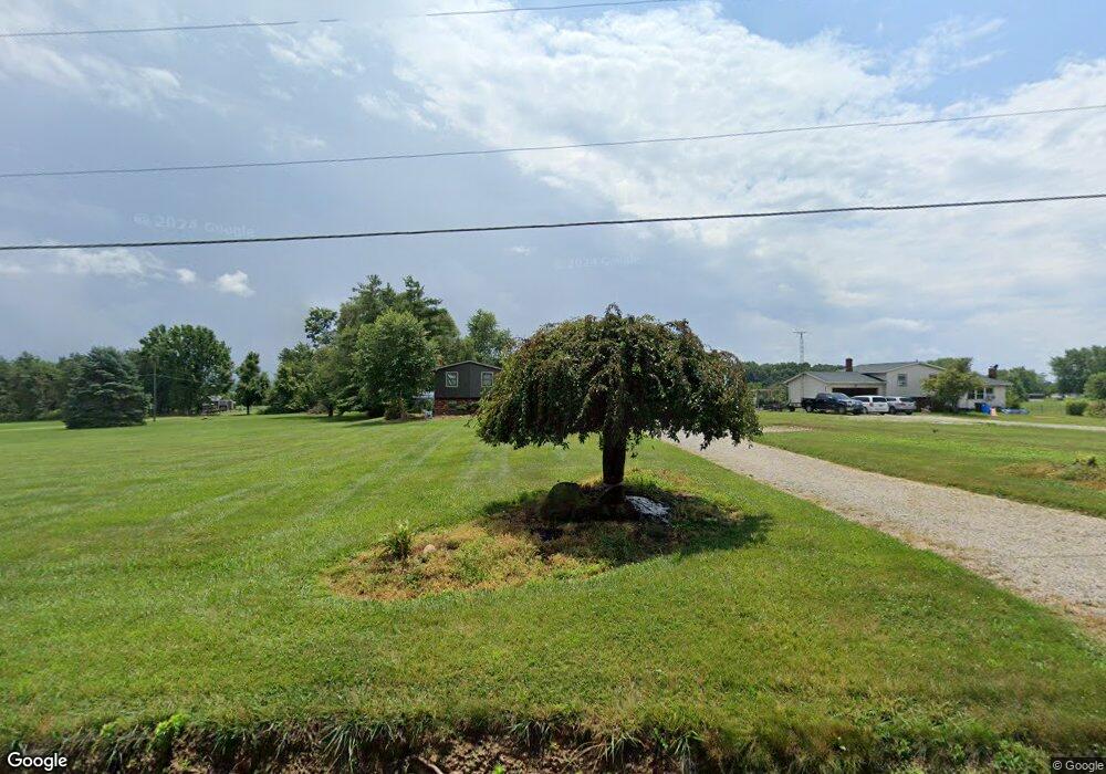
5706 Force Rd Shreve, OH 44676
Estimated Value: $287,237 - $331,000
3
Beds
1
Bath
1,752
Sq Ft
$179/Sq Ft
Est. Value
About This Home
This home is located at 5706 Force Rd, Shreve, OH 44676 and is currently estimated at $313,809, approximately $179 per square foot. 5706 Force Rd is a home located in Wayne County with nearby schools including Triway High School, Sunny Slope C/O Ervin Mast, and ORCHARD LANE SCHOOL.
Ownership History
Date
Name
Owned For
Owner Type
Purchase Details
Closed on
Nov 13, 2017
Sold by
Carter George W and Carter Gail L
Bought by
Carter George W and Carter Gail L
Current Estimated Value
Home Financials for this Owner
Home Financials are based on the most recent Mortgage that was taken out on this home.
Original Mortgage
$75,000
Outstanding Balance
$62,846
Interest Rate
3.85%
Mortgage Type
Credit Line Revolving
Estimated Equity
$250,963
Purchase Details
Closed on
Jan 1, 1987
Bought by
Carson Steve and Carson Joyce
Create a Home Valuation Report for This Property
The Home Valuation Report is an in-depth analysis detailing your home's value as well as a comparison with similar homes in the area
Home Values in the Area
Average Home Value in this Area
Purchase History
| Date | Buyer | Sale Price | Title Company |
|---|---|---|---|
| Carter George W | -- | None Available | |
| Carson Steve | -- | -- |
Source: Public Records
Mortgage History
| Date | Status | Borrower | Loan Amount |
|---|---|---|---|
| Open | Carter George W | $75,000 |
Source: Public Records
Tax History Compared to Growth
Tax History
| Year | Tax Paid | Tax Assessment Tax Assessment Total Assessment is a certain percentage of the fair market value that is determined by local assessors to be the total taxable value of land and additions on the property. | Land | Improvement |
|---|---|---|---|---|
| 2024 | $2,881 | $85,660 | $11,810 | $73,850 |
| 2023 | $2,881 | $85,660 | $11,810 | $73,850 |
| 2022 | $2,670 | $63,450 | $8,750 | $54,700 |
| 2021 | $2,675 | $63,450 | $8,750 | $54,700 |
| 2020 | $2,419 | $63,450 | $8,750 | $54,700 |
| 2019 | $2,039 | $51,770 | $6,300 | $45,470 |
| 2018 | $2,050 | $51,770 | $6,300 | $45,470 |
| 2017 | $1,944 | $51,770 | $6,300 | $45,470 |
| 2016 | $1,972 | $49,610 | $6,300 | $43,310 |
| 2015 | $1,926 | $49,610 | $6,300 | $43,310 |
| 2014 | $1,927 | $49,610 | $6,300 | $43,310 |
| 2013 | $1,957 | $48,080 | $6,300 | $41,780 |
Source: Public Records
Map
Nearby Homes
- 770 N Market St
- 270 Church St
- 286 E Robinson St
- 265 S Main St
- 292 E Mcconkey St
- 3333 Force Rd
- 9139 County Road 51
- 7241 S Funk Rd
- 5001 S Jefferson Rd
- 110 S Elyria Rd
- 4220 S Elyria Rd
- 3532 Triway Ln
- 2560 Rutt Ct
- 3979 Batdorf Rd
- 7884 Township Road 508
- 3940 Batdorf Rd
- 2445 S Elyria Rd
- 2430 S Columbus Rd
- 0 Batdorf Rd
- 0 E Moreland Rd
- 5734 Force Rd
- 5638 Force Rd
- 5778 Force Rd
- 5660 Force Rd
- 5771 Force Rd
- 8412 Critchfield Rd
- 5586 Force Rd
- 5611 Force Rd
- 8480 Critchfield Rd
- 5530 Force Rd
- 8528 Critchfield Rd
- 5504 Force Rd
- 8453 Critchfield Rd
- 8224 Critchfield Rd
- 5672 Force Rd
- 5676 Force Rd
- 8600 Critchfield Rd
- 8608 Critchfield Rd
- 5484 Force Rd
- 5485 Force Rd
