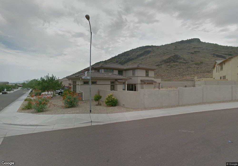
5709 W Rowel Rd Phoenix, AZ 85083
Stetson Valley NeighborhoodEstimated Value: $870,797 - $1,002,000
--
Bed
6
Baths
3,677
Sq Ft
$257/Sq Ft
Est. Value
About This Home
This home is located at 5709 W Rowel Rd, Phoenix, AZ 85083 and is currently estimated at $945,199, approximately $257 per square foot. 5709 W Rowel Rd is a home located in Maricopa County with nearby schools including Sandra Day O'connor High School, Hillcrest Middle School, and Happy Valley School.
Ownership History
Date
Name
Owned For
Owner Type
Purchase Details
Closed on
Jul 17, 2007
Sold by
Mork Somchit
Bought by
Mork Chirt
Current Estimated Value
Home Financials for this Owner
Home Financials are based on the most recent Mortgage that was taken out on this home.
Original Mortgage
$93,445
Interest Rate
6.66%
Mortgage Type
Unknown
Create a Home Valuation Report for This Property
The Home Valuation Report is an in-depth analysis detailing your home's value as well as a comparison with similar homes in the area
Home Values in the Area
Average Home Value in this Area
Purchase History
| Date | Buyer | Sale Price | Title Company |
|---|---|---|---|
| Mork Chirt | -- | North American Title Co | |
| Mork Chirt | $622,973 | North American Title Co | |
| Greystone Homes Inc | -- | North American Title Co |
Source: Public Records
Mortgage History
| Date | Status | Borrower | Loan Amount |
|---|---|---|---|
| Closed | Mork Chirt | $93,445 | |
| Open | Greystone Homes Inc | $498,378 | |
| Closed | Mork Chirt | $498,378 |
Source: Public Records
Tax History Compared to Growth
Tax History
| Year | Tax Paid | Tax Assessment Tax Assessment Total Assessment is a certain percentage of the fair market value that is determined by local assessors to be the total taxable value of land and additions on the property. | Land | Improvement |
|---|---|---|---|---|
| 2025 | $5,189 | $56,441 | -- | -- |
| 2024 | $5,023 | $53,754 | -- | -- |
| 2023 | $5,023 | $64,550 | $12,910 | $51,640 |
| 2022 | $4,834 | $49,710 | $9,940 | $39,770 |
| 2021 | $4,979 | $47,530 | $9,500 | $38,030 |
| 2020 | $4,882 | $45,220 | $9,040 | $36,180 |
| 2019 | $4,724 | $42,870 | $8,570 | $34,300 |
| 2018 | $4,556 | $43,300 | $8,660 | $34,640 |
| 2017 | $4,389 | $42,470 | $8,490 | $33,980 |
| 2016 | $4,133 | $40,050 | $8,010 | $32,040 |
| 2015 | $3,642 | $44,070 | $8,810 | $35,260 |
Source: Public Records
Map
Nearby Homes
- 26318 N 56th Dr
- 26217 N 56th Dr
- 5606 W Cavedale Dr
- 5530 W Yearling Rd
- 5374 W Chisum Trail Unit 179
- 5339 W Chisum Trail
- 5535 W Tombstone Trail
- 5420 W El Cortez Trail
- 6202 W Maya Dr
- 5423 W Range Mule Dr
- 5815 W Straight Arrow Ln
- 3310 W Jomax Rd
- 25212 N 56th Ave
- 5237 W Redbird Rd
- 5046 W Parsons Rd
- 4929 W Marcus Dr
- 5026 W Parsons Rd
- 5131 W El Cortez Trail
- 5557 W Mine Trail
- 6336 W Paso Trail
- 26432 N 57th Dr
- 26420 N 57th Dr
- 5717 W Rowel Rd
- 5708 W Spur Dr
- 26453 N 57th Dr
- 26441 N 57th Dr
- 5710 W Spur Dr
- 26429 N 57th Dr
- 5720 W Rowel Rd
- 5712 W Rowel Rd
- 5714 W Spur Dr
- 26417 N 57th Dr
- 5718 W Spur Dr
- 5724 W Rowel Rd
- 26340 N 57th Dr
- 5805 W Rowel Rd
- 26405 N 57th Dr
- 5722 W Spur Dr
- 5808 W Rowel Rd
- 5631 W Rowel Rd