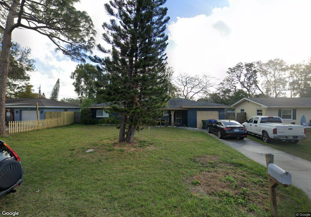
571 Deville Dr E Largo, FL 33771
North Largo NeighborhoodEstimated Value: $319,057 - $444,000
3
Beds
2
Baths
1,240
Sq Ft
$306/Sq Ft
Est. Value
About This Home
This home is located at 571 Deville Dr E, Largo, FL 33771 and is currently estimated at $379,514, approximately $306 per square foot. 571 Deville Dr E is a home located in Pinellas County with nearby schools including Largo High School, Ponce de Leon Elementary School, and Largo Middle School.
Ownership History
Date
Name
Owned For
Owner Type
Purchase Details
Closed on
Apr 21, 2010
Sold by
Horning Robert N
Bought by
Roe Kevin J and Kowley Bonnie D
Current Estimated Value
Home Financials for this Owner
Home Financials are based on the most recent Mortgage that was taken out on this home.
Original Mortgage
$142,373
Outstanding Balance
$95,816
Interest Rate
5.37%
Mortgage Type
FHA
Estimated Equity
$283,698
Purchase Details
Closed on
May 25, 2007
Sold by
Horning Robert N
Bought by
Skinner Susan M and Horning Carol A
Purchase Details
Closed on
Jul 7, 2004
Sold by
Horning Robert N
Bought by
Horning Marcella I
Purchase Details
Closed on
Jan 30, 2004
Sold by
Horning Robert N
Bought by
Horning Robert N
Create a Home Valuation Report for This Property
The Home Valuation Report is an in-depth analysis detailing your home's value as well as a comparison with similar homes in the area
Home Values in the Area
Average Home Value in this Area
Purchase History
| Date | Buyer | Sale Price | Title Company |
|---|---|---|---|
| Roe Kevin J | $145,000 | Capstone Title Llc | |
| Skinner Susan M | -- | Attorney | |
| Horning Marcella I | -- | -- | |
| Horning Robert N | -- | -- |
Source: Public Records
Mortgage History
| Date | Status | Borrower | Loan Amount |
|---|---|---|---|
| Open | Roe Kevin J | $142,373 |
Source: Public Records
Tax History
| Year | Tax Paid | Tax Assessment Tax Assessment Total Assessment is a certain percentage of the fair market value that is determined by local assessors to be the total taxable value of land and additions on the property. | Land | Improvement |
|---|---|---|---|---|
| 2025 | $1,092 | $103,873 | -- | -- |
| 2024 | $1,056 | $100,946 | -- | -- |
| 2023 | $1,056 | $98,006 | $0 | $0 |
| 2022 | $1,008 | $95,151 | $0 | $0 |
| 2021 | $1,003 | $92,380 | $0 | $0 |
| 2020 | $993 | $91,105 | $0 | $0 |
| 2019 | $962 | $89,057 | $0 | $0 |
| 2018 | $942 | $87,396 | $0 | $0 |
| 2017 | $923 | $85,598 | $0 | $0 |
| 2016 | $891 | $83,837 | $0 | $0 |
| 2015 | $905 | $83,254 | $0 | $0 |
| 2014 | $890 | $82,593 | $0 | $0 |
Source: Public Records
Map
Nearby Homes
- 732 Keene Rd
- 2601 Oakwood Dr
- 869 Deville Dr E
- 2453 Roberta St
- 121 Brandy Wine Dr Unit 121
- 546 Forest Pkwy E
- 404 Brandywine Dr
- 330 Brandy Wine Dr
- 1056 Keene Rd
- 1012 Irene Ave
- 2000 E Bay Dr Unit 112
- 2000 E Bay Dr Unit 49
- 2000 E Bay Dr Unit 103
- 2000 E Bay Dr Unit 102
- 2000 E Bay Dr Unit 116
- 2000 E Bay Dr Unit 178
- 2000 E Bay Dr Unit 132
- 2000 E Bay Dr Unit 83
- 2000 E Bay Dr Unit 30
- 2846 Huntington Dr
Your Personal Tour Guide
Ask me questions while you tour the home.