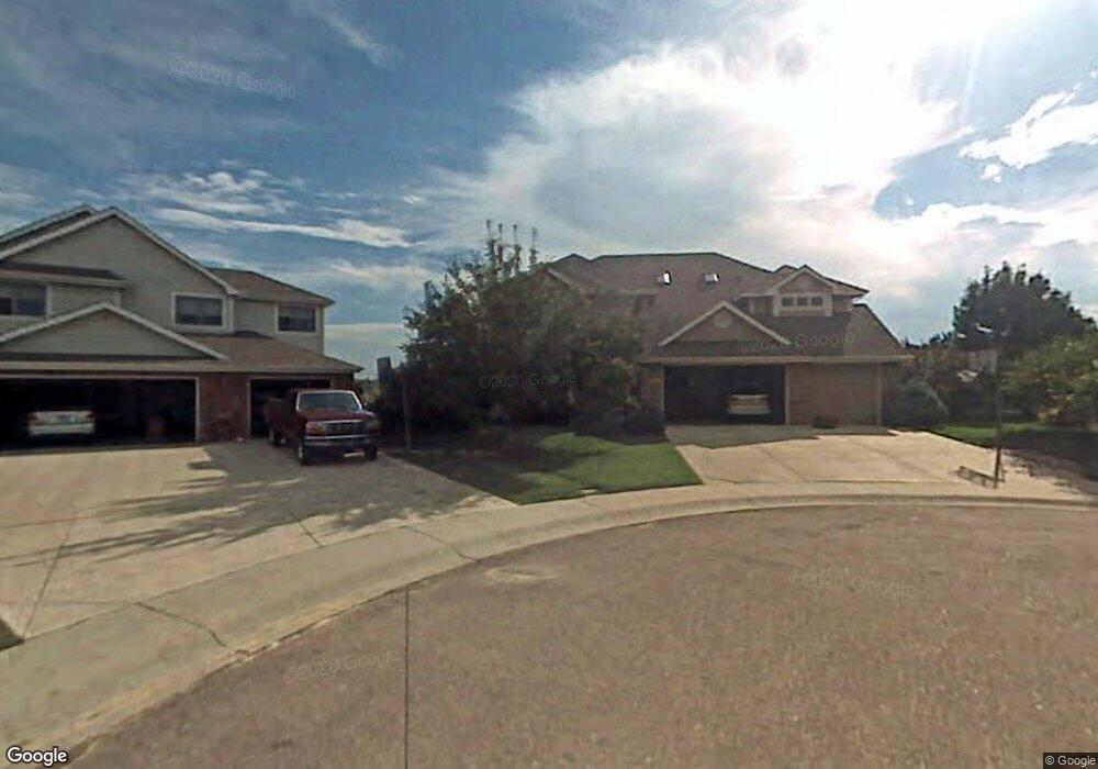
5712 Sandbar Ct Fort Collins, CO 80528
Estimated Value: $839,144 - $950,000
5
Beds
4
Baths
3,075
Sq Ft
$295/Sq Ft
Est. Value
About This Home
This home is located at 5712 Sandbar Ct, Fort Collins, CO 80528 and is currently estimated at $907,286, approximately $295 per square foot. 5712 Sandbar Ct is a home located in Larimer County with nearby schools including Kruse Elementary School, Boltz Middle School, and Fort Collins High School.
Ownership History
Date
Name
Owned For
Owner Type
Purchase Details
Closed on
Mar 7, 2025
Sold by
Stevenson Jeffrey A and Stevenson Debra J
Bought by
Stevenson Family Trust
Current Estimated Value
Purchase Details
Closed on
Oct 5, 1998
Sold by
Kem Homes Inc
Bought by
Stevenson Jeffrey A and Stevenson Debra J
Home Financials for this Owner
Home Financials are based on the most recent Mortgage that was taken out on this home.
Original Mortgage
$227,150
Interest Rate
6.92%
Create a Home Valuation Report for This Property
The Home Valuation Report is an in-depth analysis detailing your home's value as well as a comparison with similar homes in the area
Home Values in the Area
Average Home Value in this Area
Purchase History
| Date | Buyer | Sale Price | Title Company |
|---|---|---|---|
| Stevenson Family Trust | -- | None Listed On Document | |
| Stevenson Jeffrey A | $342,428 | -- |
Source: Public Records
Mortgage History
| Date | Status | Borrower | Loan Amount |
|---|---|---|---|
| Previous Owner | Stevenson Jeffrey A | $227,150 | |
| Closed | Stevenson Jeffrey A | $32,850 |
Source: Public Records
Tax History Compared to Growth
Tax History
| Year | Tax Paid | Tax Assessment Tax Assessment Total Assessment is a certain percentage of the fair market value that is determined by local assessors to be the total taxable value of land and additions on the property. | Land | Improvement |
|---|---|---|---|---|
| 2025 | $5,276 | $58,672 | $5,695 | $52,977 |
| 2024 | $5,020 | $58,672 | $5,695 | $52,977 |
| 2022 | $4,097 | $43,389 | $5,908 | $37,481 |
| 2021 | $4,140 | $44,638 | $6,078 | $38,560 |
| 2020 | $3,991 | $42,657 | $6,078 | $36,579 |
| 2019 | $4,008 | $42,657 | $6,078 | $36,579 |
| 2018 | $3,733 | $40,954 | $6,120 | $34,834 |
| 2017 | $3,720 | $40,954 | $6,120 | $34,834 |
| 2016 | $3,639 | $39,856 | $6,766 | $33,090 |
| 2015 | $3,612 | $39,860 | $6,770 | $33,090 |
| 2014 | $3,286 | $36,020 | $6,770 | $29,250 |
Source: Public Records
Map
Nearby Homes
- 1926 Floating Leaf Dr
- BRIDGEPORT Plan at Hansen Farm
- CABRAL Plan at Hansen Farm
- HENLEY Plan at Hansen Farm
- HENNESSY Plan at Hansen Farm
- BELLAMY Plan at Hansen Farm
- CHATHAM Plan at Hansen Farm
- NEWCASTLE Plan at Hansen Farm
- 1732 Floating Leaf Dr
- 1726 Floating Leaf Dr
- 1714 Floating Leaf Dr
- 1708 Floating Leaf Dr
- 1702 Floating Leaf Dr
- 1638 Happy Woodland Dr
- 1674 Foggy Brook Dr
- 1632 Happy Woodland Dr
- 1626 Happy Woodland Dr
- 1610 Knobby Pine Dr Unit B
- 5502 Weeping Way
- 1614 Happy Woodland Dr
- 5706 Sandbar Ct
- 5707 Sandbar Ct
- 5700 Sandbar Ct
- 5701 Sandbar Ct
- 5713 Corona Ct
- 5707 Corona Ct
- 5624 Red Willow Ct
- 1912 Pacific Ct
- 5618 Red Willow Ct
- 1906 Pacific Ct
- 1856 Floating Leaf Dr
- 1924 Pacific Ct
- 5630 Red Willow Ct
- 5718 Corona Ct
- 1930 Pacific Ct
- 5612 Red Willow Ct
- 1902 Floating Leaf Dr
- 1845 Floating Leaf Dr
- 1851 Floating Leaf Dr
- 1839 Floating Leaf Dr