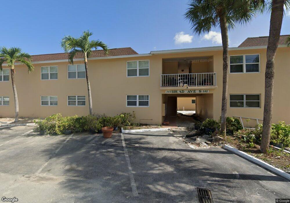
572 Broad Ave S Unit 572 Naples, FL 34102
Old Naples NeighborhoodEstimated Value: $531,867 - $793,000
2
Beds
2
Baths
980
Sq Ft
$664/Sq Ft
Est. Value
About This Home
This home is located at 572 Broad Ave S Unit 572, Naples, FL 34102 and is currently estimated at $650,967, approximately $664 per square foot. 572 Broad Ave S Unit 572 is a home located in Collier County with nearby schools including Lake Park Elementary School, Naples High School, and Gulfview Middle School.
Ownership History
Date
Name
Owned For
Owner Type
Purchase Details
Closed on
Oct 24, 2018
Sold by
Rice Michael N and Rice Nancy K
Bought by
Rice Michael N and Rice Nancy K
Current Estimated Value
Purchase Details
Closed on
Mar 27, 2012
Sold by
Griffith F Lauren and Griffith Colleen A
Bought by
Rice Michael N and Rice Nancy K
Purchase Details
Closed on
Mar 4, 2003
Sold by
Griffith F Lauren and Griffith Colleen A
Bought by
Griffith F Lauren
Purchase Details
Closed on
Aug 29, 1996
Sold by
Strohm Norma
Bought by
Griffith F Lauren and Griffith Colleen A
Home Financials for this Owner
Home Financials are based on the most recent Mortgage that was taken out on this home.
Original Mortgage
$66,400
Interest Rate
8.17%
Create a Home Valuation Report for This Property
The Home Valuation Report is an in-depth analysis detailing your home's value as well as a comparison with similar homes in the area
Home Values in the Area
Average Home Value in this Area
Purchase History
| Date | Buyer | Sale Price | Title Company |
|---|---|---|---|
| Rice Michael N | -- | Attorney | |
| Rice Michael N | $250,000 | Ross Title & Escrow Inc | |
| Griffith F Lauren | -- | -- | |
| Griffith F Lauren | $83,000 | -- |
Source: Public Records
Mortgage History
| Date | Status | Borrower | Loan Amount |
|---|---|---|---|
| Previous Owner | Griffith F Lauren | $66,400 |
Source: Public Records
Tax History Compared to Growth
Tax History
| Year | Tax Paid | Tax Assessment Tax Assessment Total Assessment is a certain percentage of the fair market value that is determined by local assessors to be the total taxable value of land and additions on the property. | Land | Improvement |
|---|---|---|---|---|
| 2025 | $3,799 | $374,849 | -- | -- |
| 2024 | $1,532 | $340,772 | -- | -- |
| 2023 | $1,532 | $107,206 | $0 | $0 |
| 2022 | $3,686 | $339,955 | $0 | $0 |
| 2021 | $3,171 | $309,050 | $0 | $309,050 |
| 2020 | $3,047 | $300,150 | $0 | $300,150 |
| 2019 | $3,035 | $295,700 | $0 | $295,700 |
| 2018 | $2,847 | $277,900 | $0 | $277,900 |
| 2017 | $2,754 | $256,750 | $0 | $0 |
| 2016 | $2,508 | $233,409 | $0 | $0 |
| 2015 | $2,319 | $212,190 | $0 | $0 |
| 2014 | $2,076 | $192,900 | $0 | $0 |
Source: Public Records
Map
Nearby Homes
- 530 Broad Ave S Unit 530
- 548 Broad Ave S Unit 548
- 603 12th Ave S
- 604 12th Ave S Unit 604
- 676 Broad Ave S Unit J676
- 503 Broad Ave S Unit 503
- 534 12th Ave S Unit 534
- 611 12th Ave S Unit 611
- 634 12th Ave S Unit 634
- 645 Broad Ave S
- 473 12th Ave S Unit B8
- 460 Broad Ave S Unit 460
- 663 12th Ave S Unit 663
- 670 Broad Ave S Unit J670
- 575 13th Ave S
- 676 12th Ave S Unit 676
- 574 Broad Ave S Unit 574
- 570 Broad Ave S Unit 570
- 540 Broad Ave S Unit 540
- 568 Broad Ave S Unit 568
- 542 Broad Ave S Unit 542
- 576 Broad Ave S Unit 576
- 538 Broad Ave S Unit 538
- 518 Broad Ave S Unit 518
- 516 Broad Ave S
- 544 Broad Ave S
- 514 Broad Ave S Unit 514
- 554 Broad Ave S Unit 554
- 536 Broad Ave S
- 552 Broad Ave S Unit 552
- 566 Broad Ave S Unit 566
- 520 Broad Ave S Unit 520
- 512 Broad Ave S Unit 512
- 546 Broad Ave S Unit 546
- 534 Broad Ave S Unit 534
- 522 Broad Ave S Unit 522