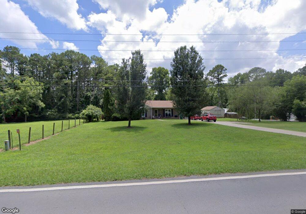
573 Camp Rd Jasper, GA 30143
Estimated Value: $296,025 - $355,000
Studio
2
Baths
1,526
Sq Ft
$207/Sq Ft
Est. Value
About This Home
This home is located at 573 Camp Rd, Jasper, GA 30143 and is currently estimated at $315,756, approximately $206 per square foot. 573 Camp Rd is a home located in Pickens County with nearby schools including Harmony Elementary School, Pickens County Middle School, and Pickens County High School.
Ownership History
Date
Name
Owned For
Owner Type
Purchase Details
Closed on
Aug 14, 2014
Sold by
Mcentyre Johnny M
Bought by
Eldredge Bryon Ross
Current Estimated Value
Purchase Details
Closed on
May 15, 2013
Sold by
Mcentyre Johnny
Bought by
Mcentyre Johnny M
Purchase Details
Closed on
Jul 31, 2000
Sold by
Exclusive Metro Prop
Bought by
Mcentyre Johnny
Purchase Details
Closed on
May 22, 2000
Bought by
Exclusive Metro Prop
Purchase Details
Closed on
Jan 4, 1994
Sold by
Nichols Sherry Lynn
Bought by
Wilbanks Jack Randy and Rhonda Sue
Purchase Details
Closed on
Oct 15, 1993
Sold by
Pauley Larry D
Bought by
Nichols Sherry Lynn and Bobby Shane
Purchase Details
Closed on
Nov 5, 1991
Bought by
Pauley Larry D and Lindsey Tom C
Create a Home Valuation Report for This Property
The Home Valuation Report is an in-depth analysis detailing your home's value as well as a comparison with similar homes in the area
Home Values in the Area
Average Home Value in this Area
Purchase History
| Date | Buyer | Sale Price | Title Company |
|---|---|---|---|
| Eldredge Bryon Ross | $126,300 | -- | |
| Mcentyre Johnny M | -- | -- | |
| Mcentyre Johnny | $108,000 | -- | |
| Exclusive Metro Prop | $78,000 | -- | |
| Wilbanks Jack Randy | $13,000 | -- | |
| Nichols Sherry Lynn | $10,000 | -- | |
| Pauley Larry D | -- | -- |
Source: Public Records
Tax History
| Year | Tax Paid | Tax Assessment Tax Assessment Total Assessment is a certain percentage of the fair market value that is determined by local assessors to be the total taxable value of land and additions on the property. | Land | Improvement |
|---|---|---|---|---|
| 2025 | $1,760 | $102,191 | $17,500 | $84,691 |
| 2024 | $1,920 | $102,032 | $17,500 | $84,532 |
| 2023 | $1,277 | $67,813 | $10,000 | $57,813 |
| 2022 | $1,277 | $67,813 | $10,000 | $57,813 |
| 2021 | $1,059 | $53,588 | $10,000 | $43,588 |
| 2020 | $1,090 | $53,588 | $10,000 | $43,588 |
| 2019 | $1,116 | $53,588 | $10,000 | $43,588 |
| 2018 | $1,126 | $53,588 | $10,000 | $43,588 |
| 2017 | $1,144 | $53,588 | $10,000 | $43,588 |
| 2016 | $1,163 | $53,588 | $10,000 | $43,588 |
| 2015 | $1,252 | $53,588 | $10,000 | $43,588 |
| 2014 | $1,255 | $53,588 | $10,000 | $43,588 |
| 2013 | -- | $50,683 | $13,000 | $37,683 |
Source: Public Records
Map
Nearby Homes
- 30 Brittany Ct Unit 20
- 64 Brittany Ct Unit 15
- 3049 Highway 53 E
- 3085 Highway 53 E
- 51 Griffith Ave
- 232 Happy Trails Way
- 99 Davis Dr
- 450 Griffith Ave
- 275 Beth Ave
- 348 Old Tate Rd
- 3011 Refuge Rd
- 426 & 334 Old Cove Rd S
- 28 Sandstone Dr
- 5 Towne Villas Dr
- 24 N Rim Dr
- 57 Towne Club Dr
- 190 Towne Villas Dr
- 597 S Main St
- 244 Town Creek Trail
- 0 Hickory Trail Unit 405391
Your Personal Tour Guide
Ask me questions while you tour the home.