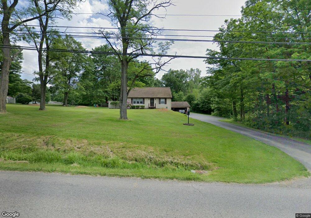
5745 Kirk Rd Canfield, OH 44406
Austintown NeighborhoodEstimated Value: $217,524 - $246,000
3
Beds
1
Bath
1,560
Sq Ft
$148/Sq Ft
Est. Value
About This Home
This home is located at 5745 Kirk Rd, Canfield, OH 44406 and is currently estimated at $230,881, approximately $148 per square foot. 5745 Kirk Rd is a home located in Mahoning County with nearby schools including Austintown Elementary School, Austintown Intermediate School, and Austintown Middle School.
Ownership History
Date
Name
Owned For
Owner Type
Purchase Details
Closed on
Dec 16, 2005
Sold by
Eash Donald P and Eash Bonita B
Bought by
Eash Jonathan J and Eash Jacqueline M
Current Estimated Value
Home Financials for this Owner
Home Financials are based on the most recent Mortgage that was taken out on this home.
Original Mortgage
$90,000
Outstanding Balance
$49,564
Interest Rate
6.42%
Mortgage Type
Fannie Mae Freddie Mac
Estimated Equity
$181,317
Purchase Details
Closed on
Jan 1, 1990
Bought by
Eash Donald P and Eash Bonita B
Create a Home Valuation Report for This Property
The Home Valuation Report is an in-depth analysis detailing your home's value as well as a comparison with similar homes in the area
Home Values in the Area
Average Home Value in this Area
Purchase History
| Date | Buyer | Sale Price | Title Company |
|---|---|---|---|
| Eash Jonathan J | $120,000 | None Available | |
| Eash Donald P | -- | -- |
Source: Public Records
Mortgage History
| Date | Status | Borrower | Loan Amount |
|---|---|---|---|
| Open | Eash Jonathan J | $90,000 |
Source: Public Records
Tax History
| Year | Tax Paid | Tax Assessment Tax Assessment Total Assessment is a certain percentage of the fair market value that is determined by local assessors to be the total taxable value of land and additions on the property. | Land | Improvement |
|---|---|---|---|---|
| 2025 | $2,615 | $54,450 | $11,530 | $42,920 |
| 2024 | $2,496 | $54,450 | $11,530 | $42,920 |
| 2023 | $2,457 | $54,450 | $11,530 | $42,920 |
| 2022 | $2,228 | $39,580 | $10,550 | $29,030 |
| 2021 | $2,229 | $39,580 | $10,550 | $29,030 |
| 2020 | $2,239 | $39,580 | $10,550 | $29,030 |
| 2019 | $2,362 | $38,050 | $10,140 | $27,910 |
| 2018 | $2,273 | $38,050 | $10,140 | $27,910 |
| 2017 | $2,197 | $38,050 | $10,140 | $27,910 |
| 2016 | $2,123 | $35,220 | $8,000 | $27,220 |
| 2015 | $2,059 | $35,220 | $8,000 | $27,220 |
| 2014 | $2,068 | $35,220 | $8,000 | $27,220 |
| 2013 | $2,046 | $35,220 | $8,000 | $27,220 |
Source: Public Records
Map
Nearby Homes
- 6343 Gibson Rd
- 3362 Starwick Dr
- 3313 Starwick Dr
- 1556 Pimlico Dr Unit 15
- 2351 Birch Trace Dr
- 1540 Pimlico Dr
- 6581 Country Ridge Ave
- 3121 Meanderwood Dr
- 2063 Woodland Trace
- 21 Timber Run Ct
- 6948 Meander Reserve Ct
- 5365 Oakcrest Ave
- 3449 Meanderwood Dr
- 1707 Westhampton Dr
- 6438 Calvary Ct
- 68 Timber Run Dr
- 2612 Frostwood Dr
- 4614 Deopham Green Dr
- 5630 Stanford Ave
- 4829 New Rd
Your Personal Tour Guide
Ask me questions while you tour the home.