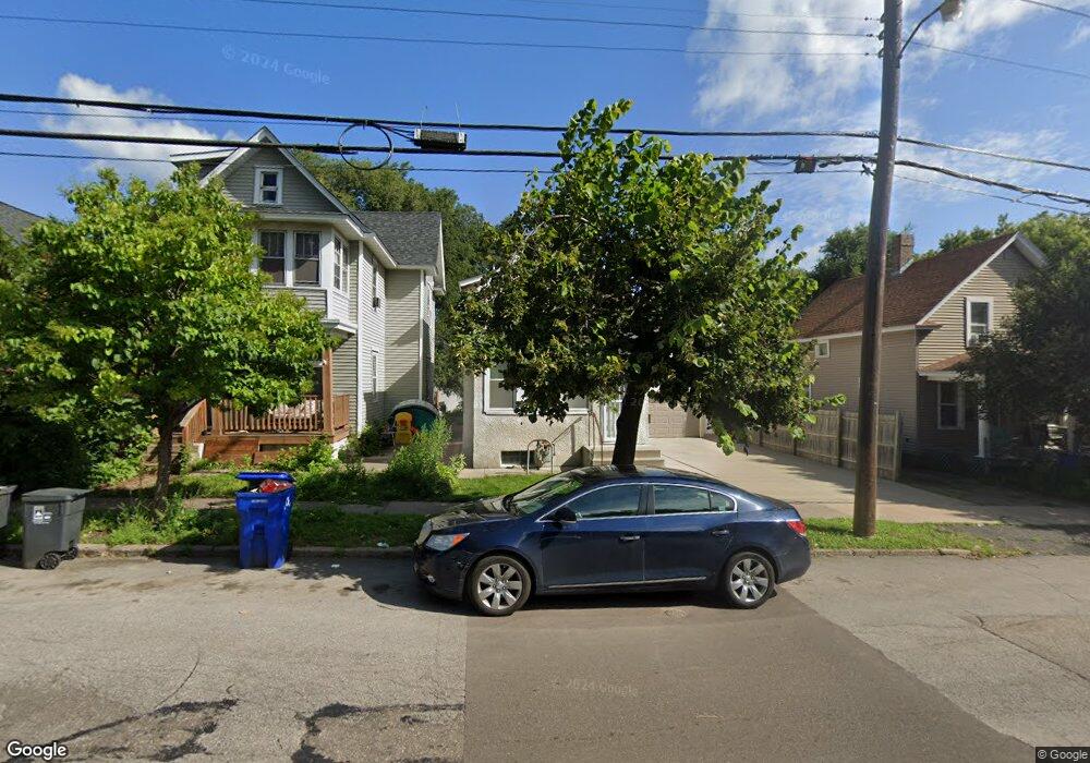
577 Front Ave Saint Paul, MN 55117
North End NeighborhoodEstimated Value: $176,000 - $211,828
1
Bed
1
Bath
756
Sq Ft
$260/Sq Ft
Est. Value
About This Home
This home is located at 577 Front Ave, Saint Paul, MN 55117 and is currently estimated at $196,207, approximately $259 per square foot. 577 Front Ave is a home located in Ramsey County with nearby schools including Como Park Elementary School, Murray Middle School, and Como Park Senior High School.
Ownership History
Date
Name
Owned For
Owner Type
Purchase Details
Closed on
Nov 10, 2023
Sold by
Jwc Properties Llc
Bought by
Carter John
Current Estimated Value
Purchase Details
Closed on
Feb 9, 2010
Sold by
Deutsche Bank National Trust Co
Bought by
Jwc Properties
Purchase Details
Closed on
Nov 20, 2000
Sold by
Mallet Cecelia H
Bought by
Sader Dale L
Create a Home Valuation Report for This Property
The Home Valuation Report is an in-depth analysis detailing your home's value as well as a comparison with similar homes in the area
Home Values in the Area
Average Home Value in this Area
Purchase History
| Date | Buyer | Sale Price | Title Company |
|---|---|---|---|
| Carter John | -- | None Listed On Document | |
| Jwc Properties | $18,000 | -- | |
| Sader Dale L | $52,000 | -- |
Source: Public Records
Tax History
| Year | Tax Paid | Tax Assessment Tax Assessment Total Assessment is a certain percentage of the fair market value that is determined by local assessors to be the total taxable value of land and additions on the property. | Land | Improvement |
|---|---|---|---|---|
| 2025 | $2,734 | $198,400 | $25,000 | $173,400 |
| 2023 | $2,734 | $170,500 | $20,000 | $150,500 |
| 2022 | $2,536 | $171,700 | $20,000 | $151,700 |
| 2021 | $2,318 | $153,200 | $20,000 | $133,200 |
| 2020 | $2,462 | $144,900 | $9,700 | $135,200 |
| 2019 | $2,072 | $143,300 | $9,700 | $133,600 |
| 2018 | $1,826 | $118,400 | $9,700 | $108,700 |
| 2017 | $1,382 | $106,800 | $9,700 | $97,100 |
| 2016 | $1,256 | $0 | $0 | $0 |
| 2015 | $1,274 | $73,000 | $9,700 | $63,300 |
| 2014 | $1,350 | $0 | $0 | $0 |
Source: Public Records
Map
Nearby Homes
- 593 Front Ave
- 352 Como Ave
- 1048 Dale St N
- 1070 Dale St N
- 469 Como Ave
- 1104 MacKubin St
- 1041 Western Ave N
- 1187 Dale St N
- 952 Western Ave N
- 351 Stinson St
- 989 Barrett St
- 366 Topping St
- 1245 Dale St N
- 924 Farrington St
- 1120 Virginia St
- 547 Blair Ave
- 283 Front Ave
- 751 Van Buren Ave
- 1071 Matilda St
- 1151 Farrington St
Your Personal Tour Guide
Ask me questions while you tour the home.