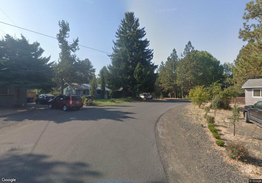
577 SE Craven Rd Bend, OR 97702
Larkspur NeighborhoodEstimated Value: $714,000 - $764,875
3
Beds
3
Baths
2,024
Sq Ft
$362/Sq Ft
Est. Value
About This Home
This home is located at 577 SE Craven Rd, Bend, OR 97702 and is currently estimated at $732,969, approximately $362 per square foot. 577 SE Craven Rd is a home located in Deschutes County with nearby schools including Bear Creek Elementary School, Bend Senior High School, and Deschutes River Montessori School.
Ownership History
Date
Name
Owned For
Owner Type
Purchase Details
Closed on
Oct 23, 2009
Sold by
Dugger Andrew J and Dugger Jacqueline E
Bought by
Oleson Mark
Current Estimated Value
Home Financials for this Owner
Home Financials are based on the most recent Mortgage that was taken out on this home.
Original Mortgage
$172,500
Outstanding Balance
$112,009
Interest Rate
5.05%
Mortgage Type
VA
Estimated Equity
$620,960
Create a Home Valuation Report for This Property
The Home Valuation Report is an in-depth analysis detailing your home's value as well as a comparison with similar homes in the area
Home Values in the Area
Average Home Value in this Area
Purchase History
| Date | Buyer | Sale Price | Title Company |
|---|---|---|---|
| Oleson Mark | $172,500 | Western Title & Escrow Co |
Source: Public Records
Mortgage History
| Date | Status | Borrower | Loan Amount |
|---|---|---|---|
| Open | Oleson Mark | $172,500 |
Source: Public Records
Tax History Compared to Growth
Tax History
| Year | Tax Paid | Tax Assessment Tax Assessment Total Assessment is a certain percentage of the fair market value that is determined by local assessors to be the total taxable value of land and additions on the property. | Land | Improvement |
|---|---|---|---|---|
| 2025 | $4,319 | $287,190 | -- | -- |
| 2024 | $4,155 | $278,830 | -- | -- |
| 2023 | $3,852 | $270,710 | $0 | $0 |
| 2022 | $3,594 | $255,180 | $0 | $0 |
| 2021 | $3,600 | $247,750 | $0 | $0 |
| 2020 | $3,415 | $247,750 | $0 | $0 |
| 2019 | $3,320 | $240,540 | $0 | $0 |
| 2018 | $3,624 | $233,540 | $0 | $0 |
| 2017 | $3,518 | $226,740 | $0 | $0 |
| 2016 | $3,355 | $220,140 | $0 | $0 |
| 2015 | $3,262 | $213,730 | $0 | $0 |
| 2014 | $3,158 | $207,510 | $0 | $0 |
Source: Public Records
Map
Nearby Homes
- 20960 Gardenia Ave
- 21035 Clairaway Ave
- 1033 SE Laurelwood Place
- 61635 Pettigrew Rd Unit 12
- 61807 SE Rolo Ct
- 98 NE Telima Ln
- 1843 SE Moorwood Ct
- 62001 NE Nates Place
- 1001 SE 15th St Unit 56
- 1001 SE 15th St Unit 77
- 1001 SE 15th St Unit 110
- 1001 SE 15th St Unit 92
- 1001 SE 15th St Unit 109
- 1001 SE 15th St Unit 126
- 1001 SE 15th St Unit 137
- 62025 NE Nate's Place
- 61730 Joan Ct
- 21019 Carl St
- 61839 Avonlea Cir
- 21154 Ritz Place
- 535 SE Craven Rd
- 562 SE Craven Rd
- 580 SE Craven Rd
- 1731 SE Tempest Dr
- 0 Larkspur Trail
- 134 Larkspur Trail
- 544 SE Craven Rd
- 594 SE Craven Rd
- 1811 SE Tempest Dr
- 526 SE Craven Rd
- 1721 SE Tempest Dr
- 1749 SE Tempest Dr
- 502 SE Craven Rd
- 1778 SE Tempest Dr
- 1808 SE Tempest Dr
- 1822 SE Tempest Dr
- 593 SE Airpark Dr
- 565 SE Airpark Dr
- 433 SE Mustang Place