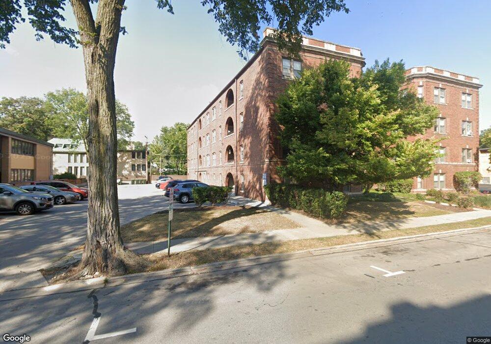
58 Forest Ave Unit 583S Riverside, IL 60546
Estimated Value: $130,000 - $154,000
1
Bed
1
Bath
658
Sq Ft
$218/Sq Ft
Est. Value
About This Home
This home is located at 58 Forest Ave Unit 583S, Riverside, IL 60546 and is currently estimated at $143,672, approximately $218 per square foot. 58 Forest Ave Unit 583S is a home located in Cook County with nearby schools including Central Elementary School, L J Hauser Jr High School, and Riverside Brookfield High School.
Ownership History
Date
Name
Owned For
Owner Type
Purchase Details
Closed on
Jan 6, 2014
Sold by
Plymouth Park Tax Services Llc
Bought by
Sot3 Llc
Current Estimated Value
Purchase Details
Closed on
Jul 31, 2013
Sold by
Cook County Clerk
Bought by
Plymouth Park Tax Services Llc
Purchase Details
Closed on
Oct 11, 2006
Sold by
Nu Concept Developers Llc
Bought by
Woods Kent
Create a Home Valuation Report for This Property
The Home Valuation Report is an in-depth analysis detailing your home's value as well as a comparison with similar homes in the area
Home Values in the Area
Average Home Value in this Area
Purchase History
| Date | Buyer | Sale Price | Title Company |
|---|---|---|---|
| Sot3 Llc | $48,000 | Attorneys Title Guaranty Fun | |
| Plymouth Park Tax Services Llc | -- | None Available | |
| Woods Kent | $165,000 | None Available |
Source: Public Records
Tax History
| Year | Tax Paid | Tax Assessment Tax Assessment Total Assessment is a certain percentage of the fair market value that is determined by local assessors to be the total taxable value of land and additions on the property. | Land | Improvement |
|---|---|---|---|---|
| 2025 | $3,477 | $10,871 | $794 | $10,077 |
| 2024 | $3,477 | $10,871 | $794 | $10,077 |
| 2023 | $2,548 | $10,871 | $794 | $10,077 |
| 2022 | $2,548 | $6,654 | $678 | $5,976 |
| 2021 | $2,448 | $6,652 | $677 | $5,975 |
| 2020 | $2,368 | $6,652 | $677 | $5,975 |
| 2019 | $2,056 | $5,841 | $619 | $5,222 |
| 2018 | $1,995 | $5,841 | $619 | $5,222 |
| 2017 | $1,931 | $5,841 | $619 | $5,222 |
| 2016 | $2,049 | $5,818 | $522 | $5,296 |
| 2015 | $2,002 | $5,818 | $522 | $5,296 |
| 2014 | $1,753 | $5,182 | $522 | $4,660 |
| 2013 | $2,747 | $8,805 | $522 | $8,283 |
Source: Public Records
Map
Nearby Homes
- 78 Pine Ave
- 10 E Burlington St Unit 2C
- 10 E Burlington St Unit 2B
- 124 Forest Ave
- 220 Maplewood Rd
- 108 E Burlington St Unit B
- 236 Maplewood Rd
- 193 Herrick Rd
- 231 Bartram Rd
- 176 Riverside Rd
- 207 W Quincy St Unit GARD
- 213 W Quincy St Unit 1
- 269 Shenstone Rd
- 8117 W 30th St
- 305 Desplaines Ave
- 315 Bartram Rd
- 336 Fairbank Rd
- 280 Blackhawk Rd
- 284 Blackhawk Rd
- 262 Lionel Rd
- 58 Forest Ave Unit 3S
- 58 Forest Ave Unit 2N
- 58 Forest Ave Unit 582S
- 58 Forest Ave Unit 583N
- 58 Forest Ave Unit 582N
- 58 Forest Ave Unit 581S
- 58 Forest Ave Unit 581N
- 58 Forest Ave Unit 58G
- 58 Forest Ave Unit 2S
- 58 Forest Ave Unit 1N
- 58 Forest Ave Unit 3N
- 58 Forest Ave Unit G
- 56 Forest Ave Unit 2S
- 56 Forest Ave Unit 563N
- 56 Forest Ave Unit 563S
- 50 Forest Ave Unit 503S
- 50 Forest Ave Unit 503N
- 56 Forest Ave Unit 562S
- 56 Forest Ave Unit 562N
- 50 Forest Ave Unit 502S
Your Personal Tour Guide
Ask me questions while you tour the home.