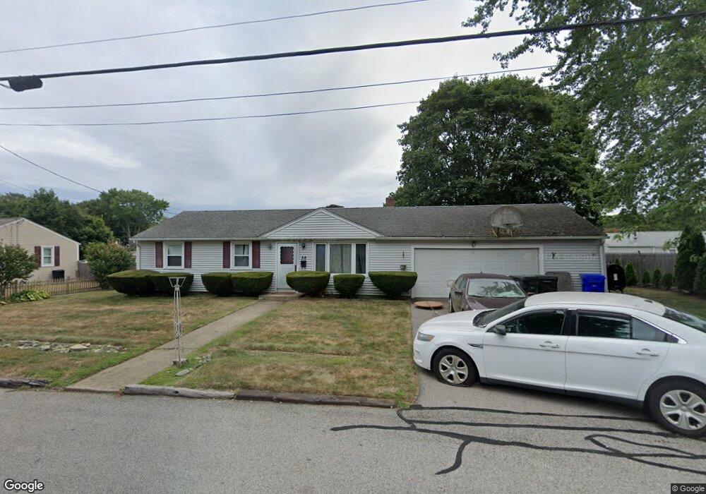
58 Sheffield Ave West Warwick, RI 02893
Centreville NeighborhoodEstimated Value: $377,000 - $415,000
2
Beds
1
Bath
1,052
Sq Ft
$373/Sq Ft
Est. Value
About This Home
This home is located at 58 Sheffield Ave, West Warwick, RI 02893 and is currently estimated at $392,433, approximately $373 per square foot. 58 Sheffield Ave is a home located in Kent County with nearby schools including West Warwick High School.
Ownership History
Date
Name
Owned For
Owner Type
Purchase Details
Closed on
Jul 28, 1989
Sold by
Browell John
Bought by
Gillooly Charles
Current Estimated Value
Home Financials for this Owner
Home Financials are based on the most recent Mortgage that was taken out on this home.
Original Mortgage
$75,000
Interest Rate
9.9%
Create a Home Valuation Report for This Property
The Home Valuation Report is an in-depth analysis detailing your home's value as well as a comparison with similar homes in the area
Home Values in the Area
Average Home Value in this Area
Purchase History
| Date | Buyer | Sale Price | Title Company |
|---|---|---|---|
| Gillooly Charles | $111,000 | -- |
Source: Public Records
Mortgage History
| Date | Status | Borrower | Loan Amount |
|---|---|---|---|
| Open | Gillooly Charles | $70,000 | |
| Closed | Gillooly Charles | $70,183 | |
| Closed | Gillooly Charles | $75,000 |
Source: Public Records
Tax History Compared to Growth
Tax History
| Year | Tax Paid | Tax Assessment Tax Assessment Total Assessment is a certain percentage of the fair market value that is determined by local assessors to be the total taxable value of land and additions on the property. | Land | Improvement |
|---|---|---|---|---|
| 2025 | $4,434 | $310,300 | $103,600 | $206,700 |
| 2024 | $4,099 | $219,300 | $66,500 | $152,800 |
| 2023 | $4,018 | $219,300 | $66,500 | $152,800 |
| 2022 | $3,956 | $219,300 | $66,500 | $152,800 |
| 2021 | $3,797 | $165,100 | $52,200 | $112,900 |
| 2020 | $3,797 | $165,100 | $52,200 | $112,900 |
| 2019 | $4,841 | $165,100 | $52,200 | $112,900 |
| 2018 | $3,438 | $126,500 | $47,800 | $78,700 |
| 2017 | $3,328 | $126,500 | $47,800 | $78,700 |
| 2016 | $3,269 | $126,500 | $47,800 | $78,700 |
| 2015 | $3,102 | $119,500 | $47,800 | $71,700 |
| 2014 | $759 | $119,500 | $47,800 | $71,700 |
Source: Public Records
Map
Nearby Homes
- 211 Tiogue Ave
- 11 Kennedy Dr
- 40 E Greenwich Ave
- 54 Arthur St
- 194 Kimberly Ln
- 2 Teresa Ann Crossing
- 4 Teresa Ann Crossing
- 8 Teresa Ann Crossing
- 25 School St
- 6 Teresa Ann Crossing
- 27 Mead St
- 82 Princeton Ave
- 5 Pine Hollow Rd
- 39 Matteson Ave
- 58 Rawlinson Dr
- 25 Fawn Ln
- 21 Darton St
- 3 June Ct
- 105 Scenic Dr
- 25 Scenic Dr
- 15 Kowalik Dr
- 52 Sheffield Ave
- 64 Sheffield Ave
- 21 Kowalik Dr
- 9 Kowalik Dr
- 53 Sheffield Ave
- 59 Sheffield Ave
- 65 Sheffield Ave
- 46 Sheffield Ave
- 68 Sheffield Ave
- 69 Sheffield Ave
- 47 Sheffield Ave
- 27 Kowalik Dr
- 3 Kowalik Dr
- 14 Kowalik Dr
- 18 Wilshire Way
- 16 Wilshire Way
- 20 Kowalik Dr
- 10 Kowalik Dr
- 20 Wilshire Way