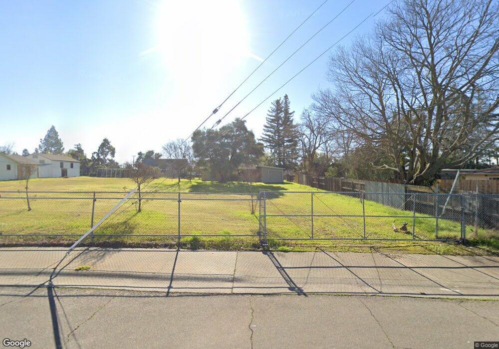
5824 Locust Ave Carmichael, CA 95608
Del Paso Vale NeighborhoodEstimated Value: $398,697 - $491,000
2
Beds
1
Bath
1,064
Sq Ft
$414/Sq Ft
Est. Value
About This Home
This home is located at 5824 Locust Ave, Carmichael, CA 95608 and is currently estimated at $440,174, approximately $413 per square foot. 5824 Locust Ave is a home located in Sacramento County with nearby schools including Cameron Ranch Elementary School, Winston Churchill Middle School, and Mira Loma High School.
Ownership History
Date
Name
Owned For
Owner Type
Purchase Details
Closed on
May 24, 2018
Sold by
Rongakos Georgia
Bought by
Georgiaron Llc
Current Estimated Value
Purchase Details
Closed on
May 18, 2016
Sold by
Kogos Alexandra and Rongakos Georgia
Bought by
Kogos Alexandra and Rongakos Georgia
Purchase Details
Closed on
Feb 7, 2012
Sold by
Haritos Konstantinos Georgios and Haritos Helen K
Bought by
Kogos Alexandra and Rongakos Georgia
Purchase Details
Closed on
Aug 14, 1998
Sold by
Haritos Konstantinos G and Haritos Helen K
Bought by
Constantinos G Haritos Family Revocable
Create a Home Valuation Report for This Property
The Home Valuation Report is an in-depth analysis detailing your home's value as well as a comparison with similar homes in the area
Home Values in the Area
Average Home Value in this Area
Purchase History
| Date | Buyer | Sale Price | Title Company |
|---|---|---|---|
| Georgiaron Llc | -- | None Available | |
| Kogos Alexandra | -- | None Available | |
| Kogos Alexandra | -- | None Available | |
| Constantinos G Haritos Family Revocable | -- | -- |
Source: Public Records
Tax History
| Year | Tax Paid | Tax Assessment Tax Assessment Total Assessment is a certain percentage of the fair market value that is determined by local assessors to be the total taxable value of land and additions on the property. | Land | Improvement |
|---|---|---|---|---|
| 2025 | $754 | $61,710 | $22,032 | $39,678 |
| 2024 | $754 | $60,500 | $21,600 | $38,900 |
| 2023 | $736 | $59,315 | $21,177 | $38,138 |
| 2022 | $732 | $58,153 | $20,762 | $37,391 |
| 2021 | $720 | $57,013 | $20,355 | $36,658 |
| 2020 | $707 | $56,430 | $20,147 | $36,283 |
| 2019 | $694 | $55,324 | $19,752 | $35,572 |
| 2018 | $686 | $54,240 | $19,365 | $34,875 |
| 2017 | $680 | $53,178 | $18,986 | $34,192 |
| 2016 | $637 | $52,136 | $18,614 | $33,522 |
| 2015 | $626 | $51,354 | $18,335 | $33,019 |
| 2014 | $614 | $50,356 | $17,978 | $32,378 |
Source: Public Records
Map
Nearby Homes
- 5622 Cypress Ave
- 4309 Jan Dr
- 6141 Lincoln Ave
- 4451 Stoney Way
- 5500 Stately Oak Ln
- 4412 Otis Ct
- 4660 Lue Ln
- 4312 Virgusell Cir
- 5631 Engle Rd
- 6395 Perrin Way
- 6410 Rolling Way
- 3601 Sareco Ct
- 4016 Knoll Top Ct
- 5928 Bourbon Dr
- 3928 Park Circle Ln Unit C
- 3900 Park Circle Ln Unit B
- 6450 Perrin Way
- 6001 Grant Ave
- 6439 Rolling Way
- 3997 Park Circle Ln Unit C
- 4105 Scranton Cir
- 4107 Scranton Cir
- 4109 Scranton Cir
- 5820 Locust Ave
- 4111 Scranton Cir
- 4113 Scranton Cir
- 4115 Scranton Cir
- 4117 Scranton Cir
- 4100 Scranton Cir
- 4119 Scranton Cir
- 4106 Scranton Cir
- 4104 Scranton Cir
- 5746 Locust Ave
- 4110 Scranton Cir
- 4121 Scranton Cir
- 4116 Scranton Cir
- 5945 Adana Cir
- 5744 Locust Ave
- 4118 Scranton Cir
- 5949 Adana Cir