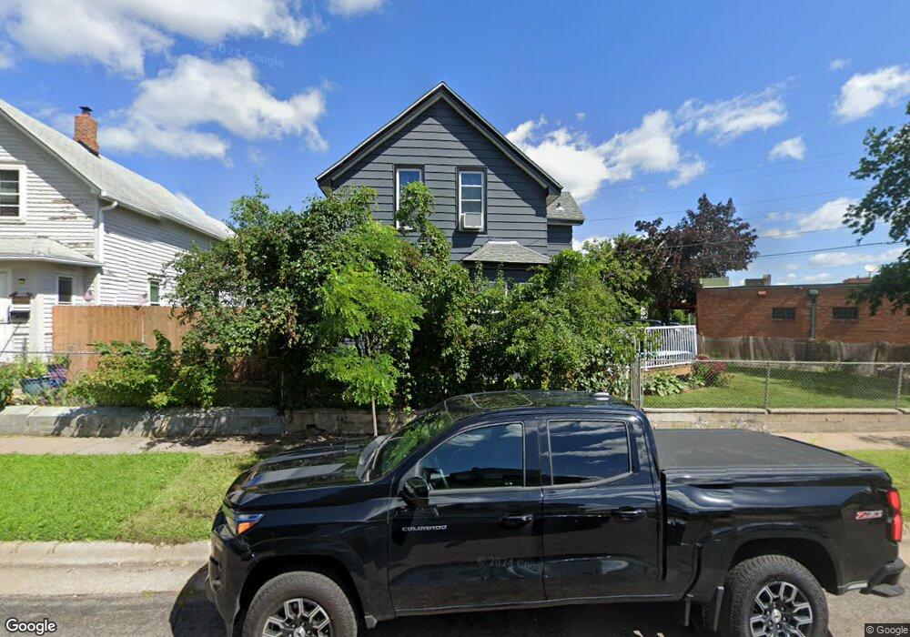
583 Burgess St Saint Paul, MN 55103
North End NeighborhoodEstimated Value: $254,000 - $297,000
3
Beds
2
Baths
1,056
Sq Ft
$263/Sq Ft
Est. Value
About This Home
This home is located at 583 Burgess St, Saint Paul, MN 55103 and is currently estimated at $277,985, approximately $263 per square foot. 583 Burgess St is a home located in Ramsey County with nearby schools including Como Park Elementary School, Murray Middle School, and Como Park Senior High School.
Ownership History
Date
Name
Owned For
Owner Type
Purchase Details
Closed on
Jun 14, 2018
Sold by
Olson Melissa A and Noyes Melissa A
Bought by
Williams Jeannie
Current Estimated Value
Home Financials for this Owner
Home Financials are based on the most recent Mortgage that was taken out on this home.
Original Mortgage
$162,000
Outstanding Balance
$140,416
Interest Rate
4.6%
Mortgage Type
New Conventional
Estimated Equity
$137,569
Purchase Details
Closed on
Jun 26, 2002
Sold by
Kasel Thomas P and Kasel Megan
Bought by
Turrentine Joel S and Turrentine Angela F
Purchase Details
Closed on
Oct 6, 1999
Sold by
Kasel Joe M and Kasel Melissa
Bought by
Kasel Thomas P
Purchase Details
Closed on
Apr 7, 1999
Sold by
Bankers Trust Company Of California Na
Bought by
Kasel Joe M and Knutsen Joseph
Create a Home Valuation Report for This Property
The Home Valuation Report is an in-depth analysis detailing your home's value as well as a comparison with similar homes in the area
Home Values in the Area
Average Home Value in this Area
Purchase History
| Date | Buyer | Sale Price | Title Company |
|---|---|---|---|
| Williams Jeannie | $180,000 | Burnet Title | |
| Turrentine Joel S | $140,595 | -- | |
| Kasel Thomas P | $75,000 | -- | |
| Kasel Joe M | $40,000 | -- |
Source: Public Records
Mortgage History
| Date | Status | Borrower | Loan Amount |
|---|---|---|---|
| Open | Williams Jeannie | $162,000 |
Source: Public Records
Tax History Compared to Growth
Tax History
| Year | Tax Paid | Tax Assessment Tax Assessment Total Assessment is a certain percentage of the fair market value that is determined by local assessors to be the total taxable value of land and additions on the property. | Land | Improvement |
|---|---|---|---|---|
| 2025 | $3,554 | $265,000 | $20,000 | $245,000 |
| 2023 | $3,554 | $238,900 | $16,000 | $222,900 |
| 2022 | $2,734 | $207,200 | $16,000 | $191,200 |
| 2021 | $2,444 | $183,900 | $16,000 | $167,900 |
| 2020 | $2,456 | $172,300 | $9,300 | $163,000 |
| 2019 | $2,114 | $163,200 | $9,300 | $153,900 |
| 2018 | $2,384 | $142,200 | $8,800 | $133,400 |
| 2017 | $2,122 | $131,400 | $8,300 | $123,100 |
| 2016 | $1,588 | $0 | $0 | $0 |
| 2015 | $1,182 | $98,300 | $8,300 | $90,000 |
| 2014 | $1,144 | $0 | $0 | $0 |
Source: Public Records
Map
Nearby Homes
- 552 Burgess St
- 352 Como Ave
- 569 Hatch Ave
- 1049 Kent St
- 1063 Dale St N
- 705 Como Ave
- 740 Como Ave
- 1104 MacKubin St
- 956 Western Ave N
- 1040 Cumberland St
- 631 Van Buren Ave
- 511 Van Buren Ave
- 359 Stinson St W
- 646 Van Buren Ave
- 553 Blair Ave
- 547 Blair Ave
- 1083 Western Ave N
- 989 Barrett St
- 1165 Norton St
- 916 Farrington St