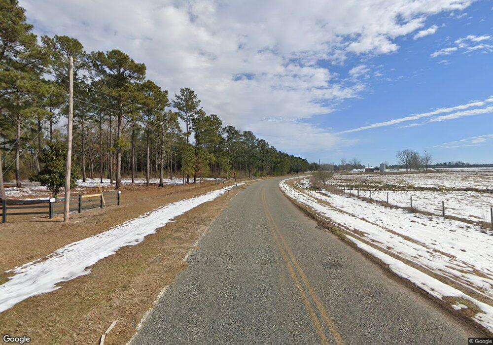
584 Att Whigham Rd Whigham, GA 39897
Estimated Value: $430,715 - $496,000
3
Beds
4
Baths
3,320
Sq Ft
$137/Sq Ft
Est. Value
About This Home
This home is located at 584 Att Whigham Rd, Whigham, GA 39897 and is currently estimated at $455,929, approximately $137 per square foot. 584 Att Whigham Rd is a home located in Grady County.
Ownership History
Date
Name
Owned For
Owner Type
Purchase Details
Closed on
Nov 6, 2023
Sold by
Collins Jerry M
Bought by
Healy Carrie A
Current Estimated Value
Home Financials for this Owner
Home Financials are based on the most recent Mortgage that was taken out on this home.
Original Mortgage
$261,500
Outstanding Balance
$256,929
Interest Rate
7.49%
Mortgage Type
New Conventional
Estimated Equity
$199,000
Purchase Details
Closed on
Mar 8, 2006
Sold by
S & G Land Co Llp
Bought by
Collins Jerry M and Collins Judy A
Create a Home Valuation Report for This Property
The Home Valuation Report is an in-depth analysis detailing your home's value as well as a comparison with similar homes in the area
Home Values in the Area
Average Home Value in this Area
Purchase History
| Date | Buyer | Sale Price | Title Company |
|---|---|---|---|
| Healy Carrie A | $411,500 | -- | |
| Collins Jerry M | $295,000 | -- |
Source: Public Records
Mortgage History
| Date | Status | Borrower | Loan Amount |
|---|---|---|---|
| Open | Healy Carrie A | $261,500 |
Source: Public Records
Tax History Compared to Growth
Tax History
| Year | Tax Paid | Tax Assessment Tax Assessment Total Assessment is a certain percentage of the fair market value that is determined by local assessors to be the total taxable value of land and additions on the property. | Land | Improvement |
|---|---|---|---|---|
| 2024 | $4,553 | $150,004 | $10,569 | $139,435 |
| 2023 | $2,818 | $93,528 | $10,478 | $83,050 |
| 2022 | $2,818 | $93,528 | $10,478 | $83,050 |
| 2021 | $2,827 | $93,528 | $10,478 | $83,050 |
| 2020 | $2,836 | $93,528 | $10,478 | $83,050 |
| 2019 | $2,836 | $93,528 | $10,478 | $83,050 |
| 2018 | $3,003 | $105,228 | $10,478 | $94,750 |
| 2017 | $2,858 | $105,228 | $10,478 | $94,750 |
| 2016 | $2,575 | $94,445 | $10,478 | $83,967 |
| 2015 | $2,544 | $94,445 | $10,478 | $83,967 |
| 2014 | -- | $94,445 | $10,478 | $83,967 |
| 2013 | -- | $92,800 | $12,402 | $80,397 |
Source: Public Records
Map
Nearby Homes
- 53 +/- A Bond Rd
- 189 Sabino Dr
- 0 Harrell Rd
- 1741 Georgia 112
- 000 Noles Rd
- 7268 Lodgetown Rd
- 231 Mcintyre Ln
- 2033 Old 179 N
- 0 Wade Rd
- 835 Mill Pond Rd
- 264 Woodridge Ln
- 0 Cal Thomas Rd
- TBD3 Cumbie Rd
- TBD2 Cumbie Rd
- TBD4 Cumbie Rd
- 126 Banks Rd
- 158 Woodridge Ln
- Tbd Cumbie Rd
- 105 Woodridge Ln
- 0 Cumbie Rd
- 233 Whigham Rd
- 241 Whigham Rd
- 253 Whigham Rd
- 262 Whigham Rd
- 3543 Ga Highway 112 N
- 3543 Ga Highway 112 N
- 3543 Georgia 112
- 310 Whigham Rd
- 343 Whigham Rd
- 352 Whigham Rd
- 146 Terrell Ln
- 387 Whigham Rd
- 818 Womble Rd
- 251 Ready Ln
- 837 Womble Rd
- 3616 Ga Highway 112 N
- 823 Griner Rd
- 910 Griner Rd
- 810 Griner Rd
- 0 Whigham Rd
