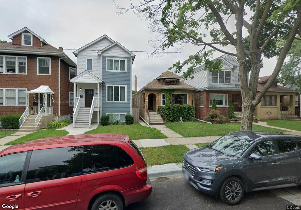
5850 W Leland Ave Chicago, IL 60630
Jefferson Park NeighborhoodEstimated Value: $332,000 - $468,000
2
Beds
1
Bath
1,094
Sq Ft
$364/Sq Ft
Est. Value
About This Home
This home is located at 5850 W Leland Ave, Chicago, IL 60630 and is currently estimated at $398,436, approximately $364 per square foot. 5850 W Leland Ave is a home located in Cook County with nearby schools including Prussing Elementary School, Taft High School, and St. Constance School.
Ownership History
Date
Name
Owned For
Owner Type
Purchase Details
Closed on
Dec 11, 1998
Sold by
Hohmeier Philip W
Bought by
Hohmeier Philip W and Hohmeier Philip W
Current Estimated Value
Home Financials for this Owner
Home Financials are based on the most recent Mortgage that was taken out on this home.
Original Mortgage
$41,100
Interest Rate
6.96%
Create a Home Valuation Report for This Property
The Home Valuation Report is an in-depth analysis detailing your home's value as well as a comparison with similar homes in the area
Home Values in the Area
Average Home Value in this Area
Purchase History
| Date | Buyer | Sale Price | Title Company |
|---|---|---|---|
| Hohmeier Philip W | -- | -- |
Source: Public Records
Mortgage History
| Date | Status | Borrower | Loan Amount |
|---|---|---|---|
| Closed | Hohmeier Philip W | $41,100 |
Source: Public Records
Tax History Compared to Growth
Tax History
| Year | Tax Paid | Tax Assessment Tax Assessment Total Assessment is a certain percentage of the fair market value that is determined by local assessors to be the total taxable value of land and additions on the property. | Land | Improvement |
|---|---|---|---|---|
| 2024 | $5,285 | $32,001 | $10,938 | $21,063 |
| 2023 | $5,113 | $31,000 | $8,750 | $22,250 |
| 2022 | $5,113 | $31,000 | $8,750 | $22,250 |
| 2021 | $2,643 | $31,000 | $8,750 | $22,250 |
| 2020 | $2,728 | $25,966 | $4,531 | $21,435 |
| 2019 | $2,720 | $28,852 | $4,531 | $24,321 |
| 2018 | $2,679 | $28,852 | $4,531 | $24,321 |
| 2017 | $2,868 | $20,494 | $4,062 | $16,432 |
| 2016 | $3,607 | $20,494 | $4,062 | $16,432 |
| 2015 | $3,604 | $22,280 | $4,062 | $18,218 |
| 2014 | $3,339 | $20,551 | $3,750 | $16,801 |
| 2013 | $3,262 | $20,551 | $3,750 | $16,801 |
Source: Public Records
Map
Nearby Homes
- 5921 W Lawrence Ave
- 5942 W Eastwood Ave
- 5940 W Wilson Ave
- 5741 W Lawrence Ave Unit 2
- 4702 N Austin Ave Unit 302
- 5710 W Leland Ave
- 5915 W Gunnison St Unit 2F
- 6046 W Giddings St
- 4533 N Mcvicker Ave
- 6137 W Giddings St
- 4886 N Austin Ave
- 4414 N Monitor Ave
- 5705 W Higgins Ave
- 5646 W Grover St
- 5677 W Higgins Ave
- 5704 W Montrose Ave Unit 2B
- 6140 W Gunnison St Unit 3
- 4915 N Central Ave Unit 16-3E
- 4567 N Merrimac Ave
- 6228 W Lawrence Ave
- 5846 W Leland Ave
- 5852 W Leland Ave
- 5844 W Leland Ave
- 5854 W Leland Ave
- 5842 W Leland Ave
- 5856 W Leland Ave
- 5856 W Leland Ave Unit 1
- 5838 W Leland Ave
- 5836 W Leland Ave
- 5851 W Giddings St
- 5849 W Giddings St
- 5853 W Giddings St
- 5845 W Giddings St
- 5834 W Leland Ave
- 5843 W Giddings St
- 5855 W Leland Ave
- 5851 W Leland Ave
- 5900 W Leland Ave
- 5900 W Leland Ave
- 5839 W Giddings St Unit 1