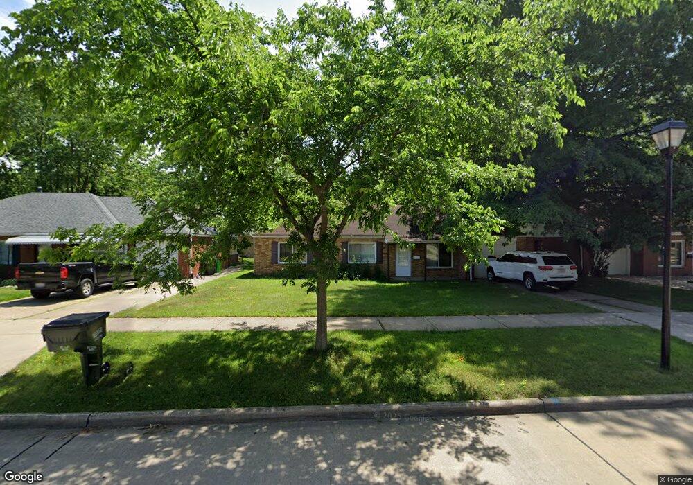
589 Birch Ave Euclid, OH 44132
Estimated Value: $141,399 - $184,000
3
Beds
2
Baths
1,401
Sq Ft
$116/Sq Ft
Est. Value
About This Home
This home is located at 589 Birch Ave, Euclid, OH 44132 and is currently estimated at $162,850, approximately $116 per square foot. 589 Birch Ave is a home located in Cuyahoga County with nearby schools including Shoreview Elementary School, Euclid High School, and Ss. Robert & William Catholic School.
Ownership History
Date
Name
Owned For
Owner Type
Purchase Details
Closed on
Apr 8, 2021
Sold by
Schutt Joseph W
Bought by
Elite Real Estate Management Llc
Current Estimated Value
Purchase Details
Closed on
Dec 7, 2004
Sold by
Kralj Vladimir J
Bought by
Schutt Joseph W
Home Financials for this Owner
Home Financials are based on the most recent Mortgage that was taken out on this home.
Original Mortgage
$65,700
Interest Rate
5.8%
Mortgage Type
Credit Line Revolving
Purchase Details
Closed on
Dec 11, 1978
Sold by
Farrar Norman G and F D
Bought by
Vrhovec Stanislav
Purchase Details
Closed on
Jan 1, 1975
Bought by
Farrar Norman G and F D
Create a Home Valuation Report for This Property
The Home Valuation Report is an in-depth analysis detailing your home's value as well as a comparison with similar homes in the area
Home Values in the Area
Average Home Value in this Area
Purchase History
| Date | Buyer | Sale Price | Title Company |
|---|---|---|---|
| Elite Real Estate Management Llc | -- | None Available | |
| Schutt Joseph W | $73,000 | Executive Title Agency | |
| Vrhovec Stanislav | $46,000 | -- | |
| Farrar Norman G | -- | -- |
Source: Public Records
Mortgage History
| Date | Status | Borrower | Loan Amount |
|---|---|---|---|
| Previous Owner | Schutt Joseph W | $65,700 |
Source: Public Records
Tax History Compared to Growth
Tax History
| Year | Tax Paid | Tax Assessment Tax Assessment Total Assessment is a certain percentage of the fair market value that is determined by local assessors to be the total taxable value of land and additions on the property. | Land | Improvement |
|---|---|---|---|---|
| 2024 | $3,607 | $51,695 | $9,660 | $42,035 |
| 2023 | $3,244 | $37,000 | $8,540 | $28,460 |
| 2022 | $3,172 | $37,000 | $8,540 | $28,460 |
| 2021 | $3,616 | $37,000 | $8,540 | $28,460 |
| 2020 | $2,908 | $28,040 | $6,480 | $21,560 |
| 2019 | $2,615 | $80,100 | $18,500 | $61,600 |
| 2018 | $2,582 | $28,040 | $6,480 | $21,560 |
| 2017 | $2,738 | $24,290 | $5,180 | $19,110 |
| 2016 | $2,744 | $24,290 | $5,180 | $19,110 |
| 2015 | $2,498 | $24,290 | $5,180 | $19,110 |
| 2014 | $2,498 | $24,290 | $5,180 | $19,110 |
Source: Public Records
Map
Nearby Homes
- 29038 Fuller Ave
- 591 Hemlock Dr
- 550 Sycamore Dr
- 970 Bryn Mawr Ave
- 26951 Shirley Ave
- 625 Lloyd Rd
- 440 E 271st St
- 411 E 270th St
- 29448 Vinewood Dr
- 29459 Vinewood Dr
- 27175 Cameron Ave
- 29488 Woodway Dr
- 26581 Oriole Ave
- 459 Lloyd Rd
- 26471 Shoreview Ave
- 866 Elmwood Ave
- 780 E 266th St
- 26481 Oriole Ave
- 26351 Farringdon Ave
- 369 E 270th St