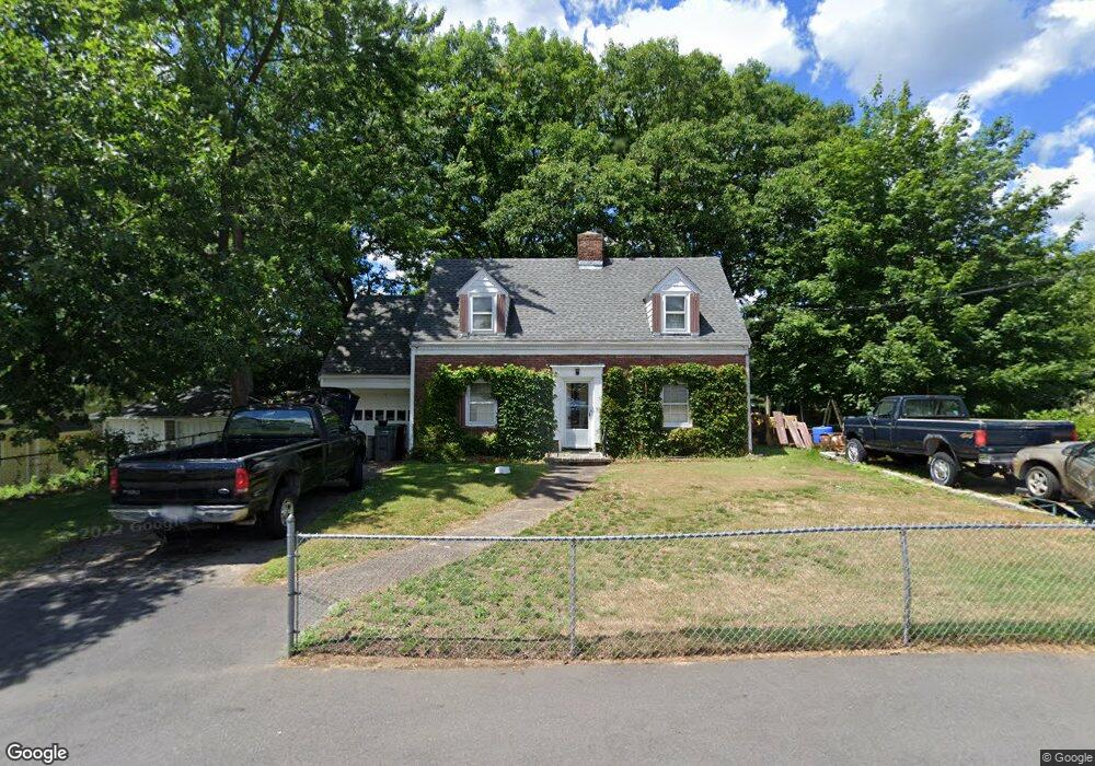
59 Commonwealth Ave Dedham, MA 02026
Riverdale NeighborhoodEstimated Value: $366,000 - $738,000
3
Beds
2
Baths
1,581
Sq Ft
$379/Sq Ft
Est. Value
About This Home
This home is located at 59 Commonwealth Ave, Dedham, MA 02026 and is currently estimated at $599,451, approximately $379 per square foot. 59 Commonwealth Ave is a home located in Norfolk County with nearby schools including Riverdale Elementary School, Dedham Middle School, and Dedham High School.
Ownership History
Date
Name
Owned For
Owner Type
Purchase Details
Closed on
Feb 27, 2025
Sold by
Johnston Gene S Est and Johnston
Bought by
Johnston Dean P
Current Estimated Value
Purchase Details
Closed on
Sep 15, 2021
Sold by
Johnston Donna F and Johnston Gene S
Bought by
Johnston Gene S
Purchase Details
Closed on
Jun 15, 1976
Bought by
Johnston Gene S and Johnston Donna F
Create a Home Valuation Report for This Property
The Home Valuation Report is an in-depth analysis detailing your home's value as well as a comparison with similar homes in the area
Home Values in the Area
Average Home Value in this Area
Purchase History
| Date | Buyer | Sale Price | Title Company |
|---|---|---|---|
| Johnston Dean P | $360,000 | None Available | |
| Johnston Gene S | -- | None Available | |
| Johnston Gene S | -- | -- |
Source: Public Records
Tax History
| Year | Tax Paid | Tax Assessment Tax Assessment Total Assessment is a certain percentage of the fair market value that is determined by local assessors to be the total taxable value of land and additions on the property. | Land | Improvement |
|---|---|---|---|---|
| 2025 | $7,774 | $616,000 | $347,400 | $268,600 |
| 2024 | $7,571 | $605,700 | $315,200 | $290,500 |
| 2023 | $7,129 | $555,200 | $285,300 | $269,900 |
| 2022 | $6,719 | $503,300 | $268,000 | $235,300 |
| 2021 | $6,146 | $449,600 | $248,100 | $201,500 |
| 2020 | $6,144 | $447,800 | $248,100 | $199,700 |
| 2019 | $5,685 | $401,800 | $215,800 | $186,000 |
| 2018 | $5,370 | $369,100 | $188,400 | $180,700 |
| 2017 | $5,271 | $357,100 | $176,400 | $180,700 |
| 2016 | $5,160 | $333,100 | $163,200 | $169,900 |
| 2015 | $4,991 | $314,500 | $162,700 | $151,800 |
| 2014 | $5,065 | $315,000 | $159,700 | $155,300 |
Source: Public Records
Map
Nearby Homes
- 45 Commonwealth Ave
- 56 Riverview St
- 147 Pine St
- 63 Dixon Ave
- 1515 Vfw Pkwy Unit M19
- 27 Pine St
- 342 Needham St
- 50 Trimount St
- 75 Bingham Ave
- 18 Hemlock Rd
- 17 Vogel St
- 15 Vogel St
- 41 Vogel St
- 71 Joyce Kilmer Rd
- 69 Keystone St Unit 1
- 33 Paragon Rd
- 17-31 Charles Park Rd Unit 196
- 570 Bridge St
- 47 Bemis Rd
- 1210 Vfw Pkwy Unit 11
- 49 Commonwealth Ave
- 65 Commonwealth Ave
- 81 Stivaletta Dr
- 89 Stivaletta Dr
- 67 Commonwealth Ave
- 61 Beacon St
- 56 Beacon St
- 64 Fairfield St
- 39 Commonwealth Ave
- 95 Stivaletta Dr
- 57 Beacon St
- 73 Stivaletta Dr
- 73 Commonwealth Ave
- 60 Fairfield St
- 52 Beacon St
- 78 Commonwealth Ave
- 78 Commonwealth Ave Unit 1
- 53 Beacon St
- 56 Fairfield St
- 55 Volk Rd
Your Personal Tour Guide
Ask me questions while you tour the home.