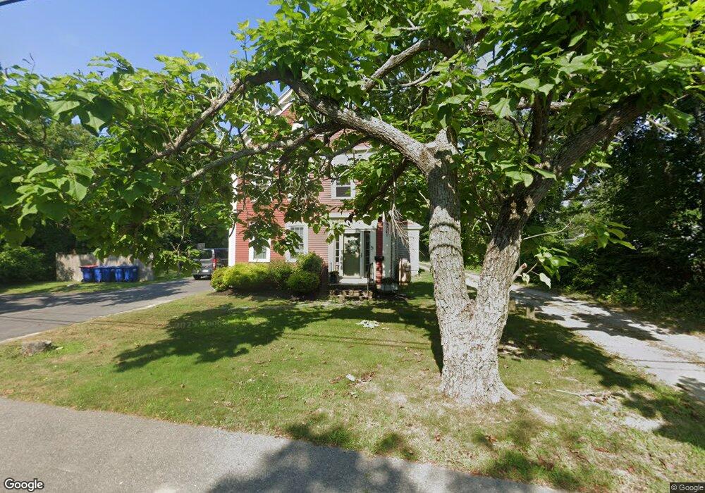
59 Gibbs Ave Wareham, MA 02571
Wareham Center NeighborhoodEstimated Value: $467,000 - $654,000
4
Beds
2
Baths
4,086
Sq Ft
$133/Sq Ft
Est. Value
About This Home
This home is located at 59 Gibbs Ave, Wareham, MA 02571 and is currently estimated at $545,417, approximately $133 per square foot. 59 Gibbs Ave is a home located in Plymouth County with nearby schools including Tabor Academy.
Ownership History
Date
Name
Owned For
Owner Type
Purchase Details
Closed on
Mar 17, 2026
Sold by
Pierce Mark
Bought by
Pierce Brandon and Pierce Lynn
Current Estimated Value
Purchase Details
Closed on
Jan 18, 2024
Sold by
Collis-Fondulis Jane and Fondulis George T
Bought by
Jane C Fondulis Lt and Fondulis
Purchase Details
Closed on
Aug 3, 2001
Sold by
Drinkwater Larry
Bought by
Fondulis George and Fondulis Jane C
Purchase Details
Closed on
Nov 2, 1998
Sold by
Pierce Thomas and Pierce Mary M
Bought by
Drinkwater Larry
Create a Home Valuation Report for This Property
The Home Valuation Report is an in-depth analysis detailing your home's value as well as a comparison with similar homes in the area
Home Values in the Area
Average Home Value in this Area
Purchase History
We collect this data history from publicly available records. To have your information removed, we recommend requesting removal directly through your county’s website.
| Date | Buyer | Sale Price | Title Company |
|---|---|---|---|
| Pierce Brandon | $250,000 | -- | |
| Jane C Fondulis Lt | -- | None Available | |
| Jane C Fondulis Lt | -- | None Available | |
| Jane C Fondulis Lt | -- | None Available | |
| Fondulis George | $172,000 | -- | |
| Fondulis George T | $172,000 | -- | |
| Drinkwater Larry | $90,000 | -- | |
| Drinkwater Larry | $90,000 | -- |
Source: Public Records
Mortgage History
We collect this data history from publicly available records. To have your information removed, we recommend requesting removal directly through your county’s website.
| Date | Status | Borrower | Loan Amount |
|---|---|---|---|
| Previous Owner | Drinkwater Larry | $340,000 | |
| Previous Owner | Drinkwater Larry | $280,000 |
Source: Public Records
Tax History
| Year | Tax Paid | Tax Assessment Tax Assessment Total Assessment is a certain percentage of the fair market value that is determined by local assessors to be the total taxable value of land and additions on the property. | Land | Improvement |
|---|---|---|---|---|
| 2025 | $4,574 | $439,000 | $121,800 | $317,200 |
| 2024 | $4,479 | $398,800 | $97,200 | $301,600 |
| 2023 | $4,223 | $351,000 | $88,400 | $262,600 |
| 2022 | $4,475 | $339,500 | $88,400 | $251,100 |
| 2021 | $3,695 | $274,700 | $88,400 | $186,300 |
| 2020 | $3,643 | $274,700 | $88,400 | $186,300 |
| 2019 | $3,482 | $262,000 | $89,700 | $172,300 |
| 2018 | $3,335 | $244,700 | $89,700 | $155,000 |
| 2017 | $3,213 | $238,900 | $89,700 | $149,200 |
| 2016 | $3,077 | $227,400 | $89,700 | $137,700 |
| 2015 | $3,122 | $238,900 | $89,700 | $149,200 |
| 2014 | $3,265 | $254,100 | $89,700 | $164,400 |
Source: Public Records
Map
Nearby Homes
- 20 Dinahs Way
- 21 Dinahs Way
- 3 Rosemary Ln Unit A
- 233 Marion Rd
- 2614 Cranberry Hwy
- 347 Marion Rd
- 2645 Cranberry Hwy Unit A
- 45 Main St Unit 27
- 45 Main St Unit 21
- 45 Main St Unit 217
- 7 Indian Neck Rd
- 90 Hathaway St
- 17 Station St
- 28 Indian Neck Rd
- 4 Ross Ave
- 11 Mya's Ct
- 11 + 13 Blackmore Pond Cir
- 8 Cottage St
- 10 Oak St
- 6 Pine St
Your Personal Tour Guide
Ask me questions while you tour the home.