59 Mad River Rd Campton, NH 03223
Estimated Value: $272,000 - $481,000
1
Bed
1
Bath
1,166
Sq Ft
$289/Sq Ft
Est. Value
About This Home
This home is located at 59 Mad River Rd, Campton, NH 03223 and is currently estimated at $337,056, approximately $289 per square foot. 59 Mad River Rd is a home with nearby schools including Campton Elementary School and Plymouth Regional High School.
Ownership History
Date
Name
Owned For
Owner Type
Purchase Details
Closed on
Jul 5, 2002
Sold by
Saulnier Arthur D and Saulnier Virginia M
Bought by
Oconnell Jon P
Current Estimated Value
Home Financials for this Owner
Home Financials are based on the most recent Mortgage that was taken out on this home.
Original Mortgage
$68,000
Outstanding Balance
$29,051
Interest Rate
6.82%
Estimated Equity
$308,005
Create a Home Valuation Report for This Property
The Home Valuation Report is an in-depth analysis detailing your home's value as well as a comparison with similar homes in the area
Home Values in the Area
Average Home Value in this Area
Purchase History
| Date | Buyer | Sale Price | Title Company |
|---|---|---|---|
| Oconnell Jon P | $73,000 | -- |
Source: Public Records
Mortgage History
| Date | Status | Borrower | Loan Amount |
|---|---|---|---|
| Open | Oconnell Jon P | $30,000 | |
| Open | Oconnell Jon P | $68,000 |
Source: Public Records
Tax History
| Year | Tax Paid | Tax Assessment Tax Assessment Total Assessment is a certain percentage of the fair market value that is determined by local assessors to be the total taxable value of land and additions on the property. | Land | Improvement |
|---|---|---|---|---|
| 2024 | $3,623 | $210,400 | $109,500 | $100,900 |
| 2023 | $3,352 | $116,500 | $52,500 | $64,000 |
| 2022 | $2,944 | $116,500 | $52,500 | $64,000 |
| 2021 | $2,909 | $116,500 | $52,500 | $64,000 |
| 2020 | $2,827 | $116,500 | $52,500 | $64,000 |
| 2019 | $2,704 | $116,500 | $52,500 | $64,000 |
| 2018 | $2,589 | $101,400 | $39,200 | $62,200 |
| 2017 | $2,515 | $101,400 | $39,200 | $62,200 |
| 2016 | $2,422 | $101,400 | $39,200 | $62,200 |
| 2015 | $2,323 | $101,400 | $39,200 | $62,200 |
| 2014 | $2,379 | $101,400 | $39,200 | $62,200 |
| 2013 | $2,057 | $102,900 | $41,200 | $61,700 |
Source: Public Records
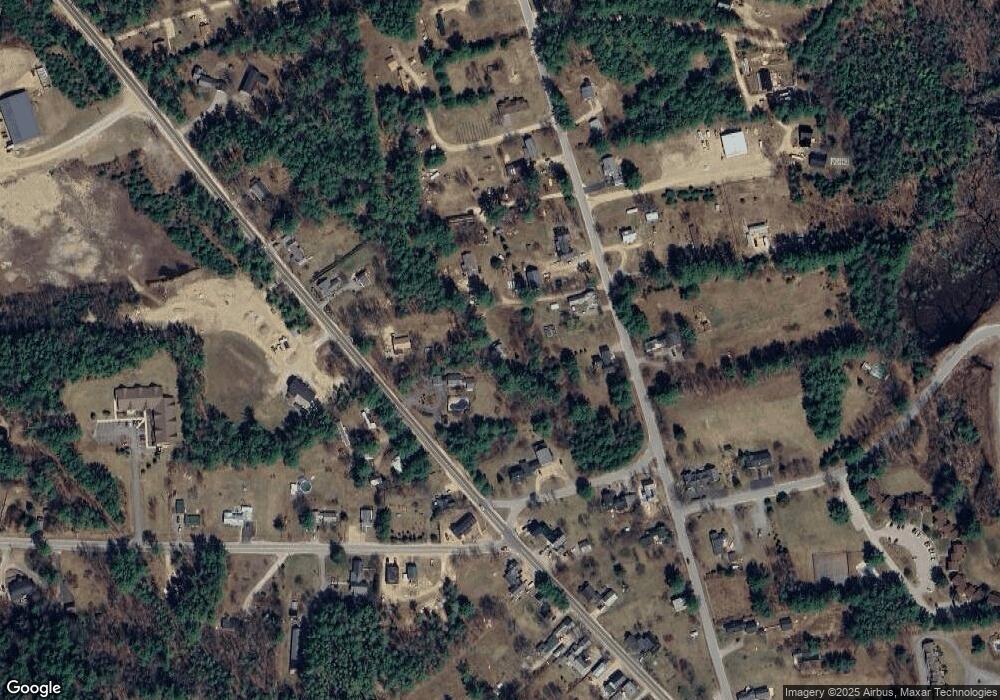
Map
Nearby Homes
- 383 Owl St
- 35 Mad River Rd
- 372 Owl St
- 1354 Nh Route 175
- 8 Benjamin Ln Unit 35
- 4 Grace Rd Unit 32
- 2 Benjamin Ln Unit 38
- 1 Lilac Ln
- Lot 6 Rising Ridge Rd
- 399 Nh Route 49
- 17 Rising Ridge Rd Unit 3
- 1246 New Hampshire Route 175
- 6 SW Spur Rd
- 253 Upper Mad River Rd
- 0 Morrill Cir Unit 16
- 6 Shepherd Ln
- 0 Checkerberry Ridge Rd Unit 142
- 32 Merrill Rd
- 6 Tame
- 82 Sunset Cir
- 1400 New Hampshire 175
- 1400 Nh Route 175
- 61 Mad River Rd
- 51 Mad River Rd
- 57 Mad River Rd
- 1412 Nh Route 175
- 7 Osgood Rd
- 7 Osgood Rd Unit B
- 65 Mad River Rd
- 50 Mad River Rd
- 1389 Nh Route 175
- 3 Dunn Ave
- 4 Dunn Ave
- 62 Mad River Rd
- 1411 Nh Route 175
- 002 Owl St
- 75 Mad River Rd
- 1418 Nh Route 175
- 14 Osgood Rd
- 1426 Nh Route 175
Your Personal Tour Guide
Ask me questions while you tour the home.