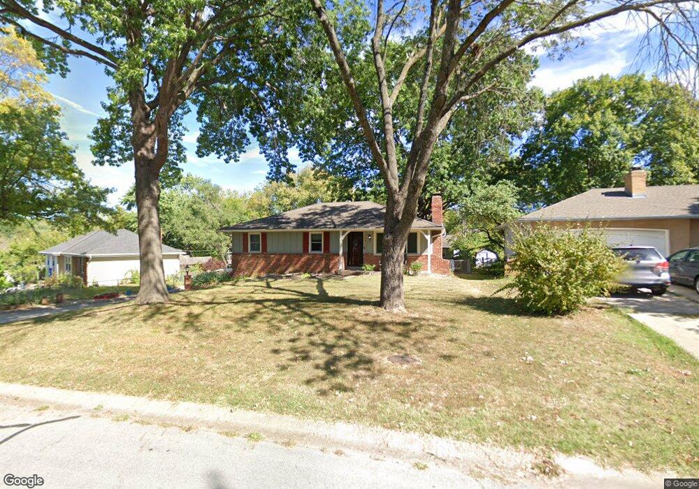
5911 Noland Rd Shawnee, KS 66216
Estimated Value: $323,056 - $349,000
3
Beds
3
Baths
1,088
Sq Ft
$307/Sq Ft
Est. Value
About This Home
This home is located at 5911 Noland Rd, Shawnee, KS 66216 and is currently estimated at $334,514, approximately $307 per square foot. 5911 Noland Rd is a home located in Johnson County with nearby schools including Ray Marsh Elementary School, Trailridge Middle School, and Shawnee Mission Northwest High School.
Ownership History
Date
Name
Owned For
Owner Type
Purchase Details
Closed on
Jul 10, 2017
Sold by
Gray Tricia Marie and Gray Terra Suzanne
Bought by
Maxwell Teresa A
Current Estimated Value
Home Financials for this Owner
Home Financials are based on the most recent Mortgage that was taken out on this home.
Original Mortgage
$171,830
Outstanding Balance
$143,153
Interest Rate
3.99%
Mortgage Type
FHA
Estimated Equity
$191,361
Purchase Details
Closed on
Aug 8, 2003
Sold by
Gray John M and Gray Donna S
Bought by
Gray John M
Create a Home Valuation Report for This Property
The Home Valuation Report is an in-depth analysis detailing your home's value as well as a comparison with similar homes in the area
Home Values in the Area
Average Home Value in this Area
Purchase History
| Date | Buyer | Sale Price | Title Company |
|---|---|---|---|
| Maxwell Teresa A | -- | Continental Title | |
| Gray John M | -- | -- |
Source: Public Records
Mortgage History
| Date | Status | Borrower | Loan Amount |
|---|---|---|---|
| Open | Maxwell Teresa A | $171,830 |
Source: Public Records
Tax History Compared to Growth
Tax History
| Year | Tax Paid | Tax Assessment Tax Assessment Total Assessment is a certain percentage of the fair market value that is determined by local assessors to be the total taxable value of land and additions on the property. | Land | Improvement |
|---|---|---|---|---|
| 2024 | $3,610 | $34,247 | $6,366 | $27,881 |
| 2023 | $3,630 | $33,879 | $6,057 | $27,822 |
| 2022 | $2,934 | $27,312 | $5,505 | $21,807 |
| 2021 | $2,892 | $25,173 | $5,007 | $20,166 |
| 2020 | $2,707 | $23,241 | $4,549 | $18,692 |
| 2019 | $2,520 | $21,609 | $4,132 | $17,477 |
| 2018 | $2,268 | $19,355 | $4,132 | $15,223 |
| 2017 | $2,165 | $18,181 | $3,598 | $14,583 |
| 2016 | $2,171 | $18,009 | $3,598 | $14,411 |
| 2015 | $1,931 | $16,709 | $3,598 | $13,111 |
| 2013 | -- | $15,893 | $3,598 | $12,295 |
Source: Public Records
Map
Nearby Homes
- 5807 Noland Rd
- 4908 Noland Rd
- 5919 Pflumm Rd
- 12809 W 57th Terrace
- 6143 Park St
- 5845 Caenen St
- 6145 Park St
- 5703 Cottonwood St
- 5507 Noland Rd
- 12508 W 56th St
- 5530 Rene St
- 5620 Monrovia St
- 5713 Widmer Rd
- 5504 Monrovia St
- 12116 W 63rd Terrace
- 14204 W 63rd St
- 12225 W 64th Terrace
- 14214 W 63rd St
- 5300 Summit Ct
- 13415 W 66th Terrace
- 5905 Noland Rd
- 5913 Noland Rd
- 5917 Noland Rd
- 5903 Noland Rd
- 5926 W Richards Dr
- 5912 Noland Rd
- 5906 Noland Rd
- 13021 Johnson Dr
- 5919 Noland Rd
- 5930 W Richards Dr
- 5916 Noland Rd
- 5909 Hauser Dr
- 5902 Noland Rd
- 5934 W Richards Dr
- 5920 Noland Rd
- 13207 Johnson Dr
- 13001 Johnson Dr
- 6001 Noland Rd
- 5921 W Richards Dr