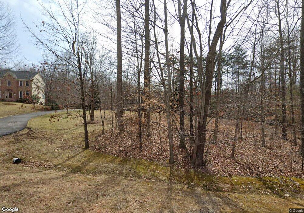
5961 Maxfield Ct Manassas, VA 20112
South Manassas NeighborhoodEstimated Value: $977,325 - $1,192,000
4
Beds
4
Baths
4,360
Sq Ft
$251/Sq Ft
Est. Value
About This Home
This home is located at 5961 Maxfield Ct, Manassas, VA 20112 and is currently estimated at $1,095,331, approximately $251 per square foot. 5961 Maxfield Ct is a home located in Prince William County with nearby schools including Charles J. Colgan Senior High School, Thurgood Marshall Elementary School, and Louise A. Benton Middle School.
Ownership History
Date
Name
Owned For
Owner Type
Purchase Details
Closed on
Sep 30, 2005
Sold by
N V P Inc
Bought by
Moita Antonio F and Alvarenga,Maria Ines Cruz
Current Estimated Value
Home Financials for this Owner
Home Financials are based on the most recent Mortgage that was taken out on this home.
Original Mortgage
$648,900
Outstanding Balance
$349,070
Interest Rate
5.84%
Mortgage Type
New Conventional
Estimated Equity
$746,261
Create a Home Valuation Report for This Property
The Home Valuation Report is an in-depth analysis detailing your home's value as well as a comparison with similar homes in the area
Home Values in the Area
Average Home Value in this Area
Purchase History
| Date | Buyer | Sale Price | Title Company |
|---|---|---|---|
| Moita Antonio F | $927,000 | -- |
Source: Public Records
Mortgage History
| Date | Status | Borrower | Loan Amount |
|---|---|---|---|
| Open | Moita Antonio F | $648,900 |
Source: Public Records
Tax History
| Year | Tax Paid | Tax Assessment Tax Assessment Total Assessment is a certain percentage of the fair market value that is determined by local assessors to be the total taxable value of land and additions on the property. | Land | Improvement |
|---|---|---|---|---|
| 2025 | $7,885 | $829,400 | $233,700 | $595,700 |
| 2024 | $7,885 | $792,900 | $222,900 | $570,000 |
| 2023 | $7,886 | $757,900 | $216,100 | $541,800 |
| 2022 | $7,925 | $705,300 | $200,400 | $504,900 |
| 2021 | $8,048 | $662,900 | $188,600 | $474,300 |
| 2020 | $9,745 | $628,700 | $178,900 | $449,800 |
| 2019 | $9,385 | $605,500 | $174,000 | $431,500 |
| 2018 | $7,313 | $605,600 | $172,000 | $433,600 |
| 2017 | $7,347 | $599,800 | $170,000 | $429,800 |
| 2016 | $7,649 | $630,900 | $167,100 | $463,800 |
| 2015 | $7,405 | $628,100 | $165,100 | $463,000 |
| 2014 | $7,405 | $597,500 | $151,400 | $446,100 |
Source: Public Records
Map
Nearby Homes
- 12841 Hoadly Manor Dr
- 12975 Torchlight Dr
- 12790 Lost Creek Ct
- 13208 Nickleson Dr
- 13217 Nickleson Dr
- 13370 Nationville Ln
- 6163 Tamborine Ct
- 5467 Quaint Dr
- 5897 Penacle Ct
- 5154 Meeting Place
- 13379 Packard Dr
- 6338 Etheridge Ln
- 6075 Oaklawn Ln
- 6242 Oakland Dr
- 5383 Cleburne Ln
- 13321 Nassau Dr
- 13457 Orangewood Dr
- 13450 Orangewood Dr
- 12900 Blue Sky Place
- 13169 Quade Ln
- 5957 Maxfield Ct
- 5965 Maxfield Ct
- 5953 Maxfield Ct
- 5956 Maxfield Ct
- 5960 Maxfield Ct
- 5964 Maxfield Ct
- 5969 Maxfield Ct
- 5952 Maxfield Ct
- 12861 Hoadly Manor Dr
- 6021 Genie Terrace
- 12869 Hoadly Manor Dr
- 12865 Hoadly Manor Dr
- 12873 Hoadly Manor Dr
- 5973 Maxfield Ct
- 5968 Maxfield Ct
- 12877 Hoadly Manor Dr
- 5650 Hoadly Rd
- 12881 Hoadly Manor Dr
- 12885 Hoadly Manor Dr
- 6031 Genie Terrace
Your Personal Tour Guide
Ask me questions while you tour the home.