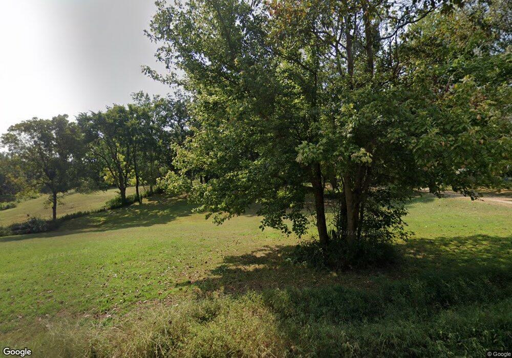
5979 Bone Rd Union City, TN 38261
Estimated Value: $44,916 - $210,000
Studio
1
Bath
1,335
Sq Ft
$93/Sq Ft
Est. Value
About This Home
This home is located at 5979 Bone Rd, Union City, TN 38261 and is currently estimated at $123,972, approximately $92 per square foot. 5979 Bone Rd is a home located in Obion County.
Ownership History
Date
Name
Owned For
Owner Type
Purchase Details
Closed on
Jun 17, 2019
Sold by
Boehms Vollie J
Bought by
Baggett Joyce and Bagget Gene
Current Estimated Value
Purchase Details
Closed on
Oct 19, 2018
Sold by
Tidwell Carolyn
Bought by
Boehms Vollie J
Purchase Details
Closed on
Apr 7, 2010
Sold by
Luker Shirley
Bought by
Baggett Joyce
Purchase Details
Closed on
Feb 1, 2006
Bought by
Boehms Council Camilla J %Vollie J
Purchase Details
Closed on
Aug 9, 1996
Sold by
Thomas Hunter
Bought by
Baggett Gene L
Purchase Details
Closed on
Apr 25, 1995
Sold by
Council V J
Bought by
Thomas Hunter
Purchase Details
Closed on
Sep 1, 1959
Bought by
Council Camilla J
Create a Home Valuation Report for This Property
The Home Valuation Report is an in-depth analysis detailing your home's value as well as a comparison with similar homes in the area
Purchase History
| Date | Buyer | Sale Price | Title Company |
|---|---|---|---|
| Baggett Joyce | -- | -- | |
| Boehms Vollie J | -- | -- | |
| Baggett Joyce | -- | -- | |
| Boehms Council Camilla J %Vollie J | -- | -- | |
| Baggett Gene L | $10,000 | -- | |
| Thomas Hunter | $40,000 | -- | |
| Council Camilla J | -- | -- |
Source: Public Records
Tax History
| Year | Tax Paid | Tax Assessment Tax Assessment Total Assessment is a certain percentage of the fair market value that is determined by local assessors to be the total taxable value of land and additions on the property. | Land | Improvement |
|---|---|---|---|---|
| 2025 | $80 | $5,800 | $2,350 | $3,450 |
| 2024 | $80 | $5,800 | $2,350 | $3,450 |
| 2023 | $80 | $5,800 | $2,350 | $3,450 |
| 2022 | $76 | $4,000 | $2,050 | $1,950 |
| 2021 | $76 | $4,000 | $2,050 | $1,950 |
| 2020 | $76 | $4,000 | $2,050 | $1,950 |
| 2019 | $76 | $4,000 | $2,050 | $1,950 |
| 2018 | $105 | $5,500 | $2,050 | $3,450 |
| 2017 | $107 | $5,325 | $2,050 | $3,275 |
| 2016 | $107 | $5,325 | $2,050 | $3,275 |
| 2015 | $107 | $5,325 | $2,050 | $3,275 |
| 2014 | $107 | $5,325 | $2,050 | $3,275 |
Source: Public Records
Map
Nearby Homes
- 839 W Old State Line Rd
- 4031 State Route 925
- Tract 1 Walter Whipple Rd
- 4744 N Clayton Antioch Rd
- 1304 W Highway 22
- 4478 Crystal Rd
- 1559 Ella Groom Rd
- 1227 W Highway 22
- 2310 S 7th St
- 2011 Myron Cory Dr
- 1405 Myron Cory Dr
- 3599 Denson Rd
- 0 Denson Rd
- 560 Todd Thomas Rd
- 919 Troy Ave
- 115 E Wellington St
- 1308 Nelson St
- 219 Clinton St
- 213 Clinton St
- 72 W Highway 22
- 6023 Bone Rd
- 6000 Bone Rd
- 6078 Bone Rd
- 5796 Bone Rd
- 6085 Bone Rd
- 1633 Woodrine Rd
- 6089 Bone Rd
- 6127 Bone Rd
- 2139 St Route
- 2272 State Route 2139
- 2309 State Route 2139
- 2308 State Route 2139
- 2244 State Route 2139
- 2159 State Route 2139
- 2121 State Route 2139
- 2231 State Route 2139
- 2122 State Route 2139
- 5644 Bone Rd
- 2685 State Route 2139
- 5616 Bone Rd
Your Personal Tour Guide
Ask me questions while you tour the home.
