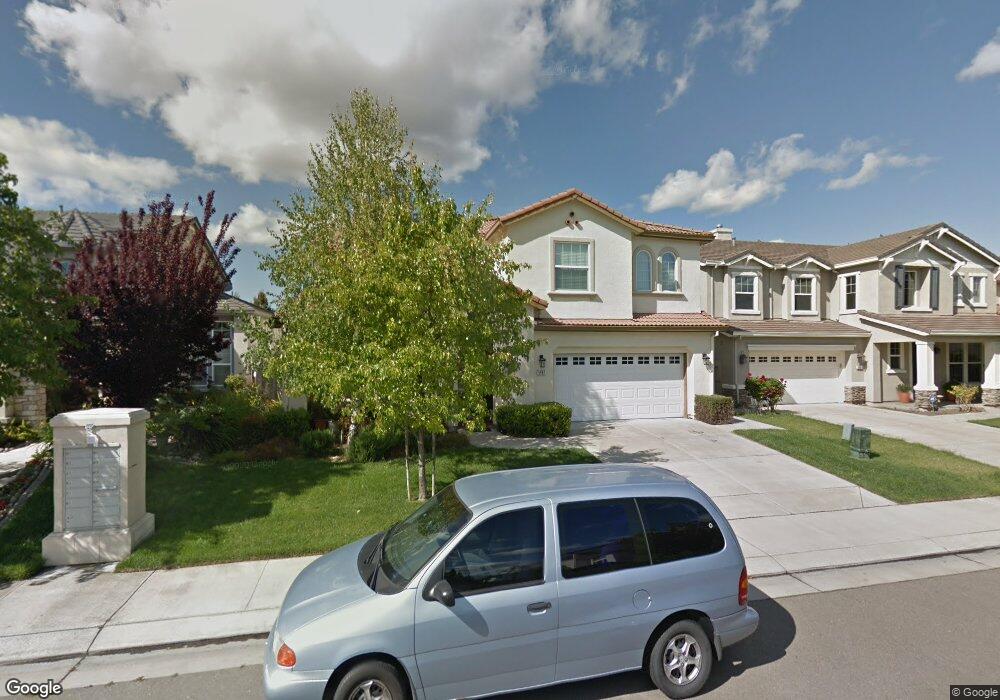
5987 Silveroak Cir Unit 19 Stockton, CA 95219
Spanos Park West NeighborhoodEstimated Value: $583,000 - $684,000
5
Beds
3
Baths
3,166
Sq Ft
$197/Sq Ft
Est. Value
About This Home
This home is located at 5987 Silveroak Cir Unit 19, Stockton, CA 95219 and is currently estimated at $624,541, approximately $197 per square foot. 5987 Silveroak Cir Unit 19 is a home located in San Joaquin County with nearby schools including Manlio Silva Elementary School, Christa McAuliffe Middle School, and Bear Creek High School.
Ownership History
Date
Name
Owned For
Owner Type
Purchase Details
Closed on
Sep 8, 2004
Sold by
North Stockton Building Partners Iii Lp
Bought by
Bernaldez Rogelio and Bernaldez Rochelle
Current Estimated Value
Home Financials for this Owner
Home Financials are based on the most recent Mortgage that was taken out on this home.
Original Mortgage
$307,450
Outstanding Balance
$146,047
Interest Rate
5.37%
Mortgage Type
New Conventional
Estimated Equity
$478,494
Create a Home Valuation Report for This Property
The Home Valuation Report is an in-depth analysis detailing your home's value as well as a comparison with similar homes in the area
Home Values in the Area
Average Home Value in this Area
Purchase History
| Date | Buyer | Sale Price | Title Company |
|---|---|---|---|
| Bernaldez Rogelio | $384,509 | First Amer Title Co |
Source: Public Records
Mortgage History
| Date | Status | Borrower | Loan Amount |
|---|---|---|---|
| Open | Bernaldez Rogelio | $307,450 | |
| Closed | Bernaldez Rogelio | $57,650 |
Source: Public Records
Tax History Compared to Growth
Tax History
| Year | Tax Paid | Tax Assessment Tax Assessment Total Assessment is a certain percentage of the fair market value that is determined by local assessors to be the total taxable value of land and additions on the property. | Land | Improvement |
|---|---|---|---|---|
| 2025 | $7,379 | $535,741 | $160,287 | $375,454 |
| 2024 | $7,188 | $525,238 | $157,145 | $368,093 |
| 2023 | $7,135 | $514,940 | $154,064 | $360,876 |
| 2022 | $6,997 | $504,844 | $151,044 | $353,800 |
| 2021 | $7,116 | $494,946 | $148,083 | $346,863 |
| 2020 | $6,963 | $489,872 | $146,565 | $343,307 |
| 2019 | $6,821 | $480,268 | $143,692 | $336,576 |
| 2018 | $6,721 | $470,852 | $140,875 | $329,977 |
| 2017 | $6,245 | $431,000 | $129,000 | $302,000 |
| 2016 | $6,101 | $428,000 | $128,000 | $300,000 |
| 2014 | $5,234 | $346,000 | $104,000 | $242,000 |
Source: Public Records
Map
Nearby Homes
- 10844 Lakemore Ln
- 10866 Merritt Dr Unit 19
- 5914 Silver Oak Cir
- 5969 Silveroak Cir Unit 19
- 6290 Crestview Cir
- 10831 Meadowmont Way
- 6502 Crestview Cir Unit 21
- 10599 Rubicon Ave Unit 14
- 5651 Westchester Cir
- 5549 Ridgeview Cir
- 5953 Pebblestone Way
- 6707 Oakum Way
- 5920 Poppy Shores Way
- 6808 Don Conti Ln
- 10342 Mono Ct
- 10305 Bridgeview Ln
- 10332 Crab Apple Dr
- 6902 Tailwind Ln
- 5306 Britton Ave
- 10037 Mount Hood Dr
- 5981 Silveroak Cir Unit 19
- 5993 Silveroak Cir
- 5975 Silveroak Cir
- 5999 Silveroak Cir
- 10977 Merritt Dr
- 10956 Lakemore Ln
- 6005 Silveroak Cir Unit CI
- 6005 Silveroak Cir Unit 18
- 10948 Lakemore Ln
- 10965 Merritt Dr Unit First room
- 10965 Merritt Dr
- 5963 Silveroak Cir Unit 19
- 6011 Silveroak Cir
- 10976 Merritt Dr
- 10953 Lakemore Ln Unit 18
- 10940 Lakemore Ln
- 10953 Merritt Dr Unit 19
- 10962 Merritt Dr
- 5957 Silveroak Cir
- 6017 Silveroak Cir Unit 18