599 Mcgill Rd Vincent, OH 45784
Estimated Value: $334,446 - $375,000
3
Beds
2
Baths
2,730
Sq Ft
$126/Sq Ft
Est. Value
About This Home
This home is located at 599 Mcgill Rd, Vincent, OH 45784 and is currently estimated at $345,112, approximately $126 per square foot. 599 Mcgill Rd is a home located in Washington County with nearby schools including Warren High School.
Ownership History
Date
Name
Owned For
Owner Type
Purchase Details
Closed on
Mar 4, 2003
Bought by
Smith Martha J
Current Estimated Value
Purchase Details
Closed on
Nov 23, 1987
Create a Home Valuation Report for This Property
The Home Valuation Report is an in-depth analysis detailing your home's value as well as a comparison with similar homes in the area
Home Values in the Area
Average Home Value in this Area
Purchase History
| Date | Buyer | Sale Price | Title Company |
|---|---|---|---|
| Smith Martha J | -- | -- | |
| -- | $73,000 | -- |
Source: Public Records
Tax History Compared to Growth
Tax History
| Year | Tax Paid | Tax Assessment Tax Assessment Total Assessment is a certain percentage of the fair market value that is determined by local assessors to be the total taxable value of land and additions on the property. | Land | Improvement |
|---|---|---|---|---|
| 2024 | $3,409 | $83,540 | $9,470 | $74,070 |
| 2023 | $3,409 | $83,540 | $9,470 | $74,070 |
| 2022 | $3,395 | $83,540 | $9,470 | $74,070 |
| 2021 | $3,100 | $72,300 | $7,590 | $64,710 |
| 2020 | $2,909 | $72,300 | $7,590 | $64,710 |
| 2019 | $2,869 | $72,300 | $7,590 | $64,710 |
| 2018 | $2,666 | $65,060 | $6,330 | $58,730 |
| 2017 | $2,651 | $65,060 | $6,330 | $58,730 |
| 2016 | $3,338 | $65,060 | $6,330 | $58,730 |
| 2015 | $2,154 | $58,460 | $6,090 | $52,370 |
| 2014 | $3,032 | $58,460 | $6,090 | $52,370 |
| 2013 | $2,087 | $58,460 | $6,090 | $52,370 |
Source: Public Records
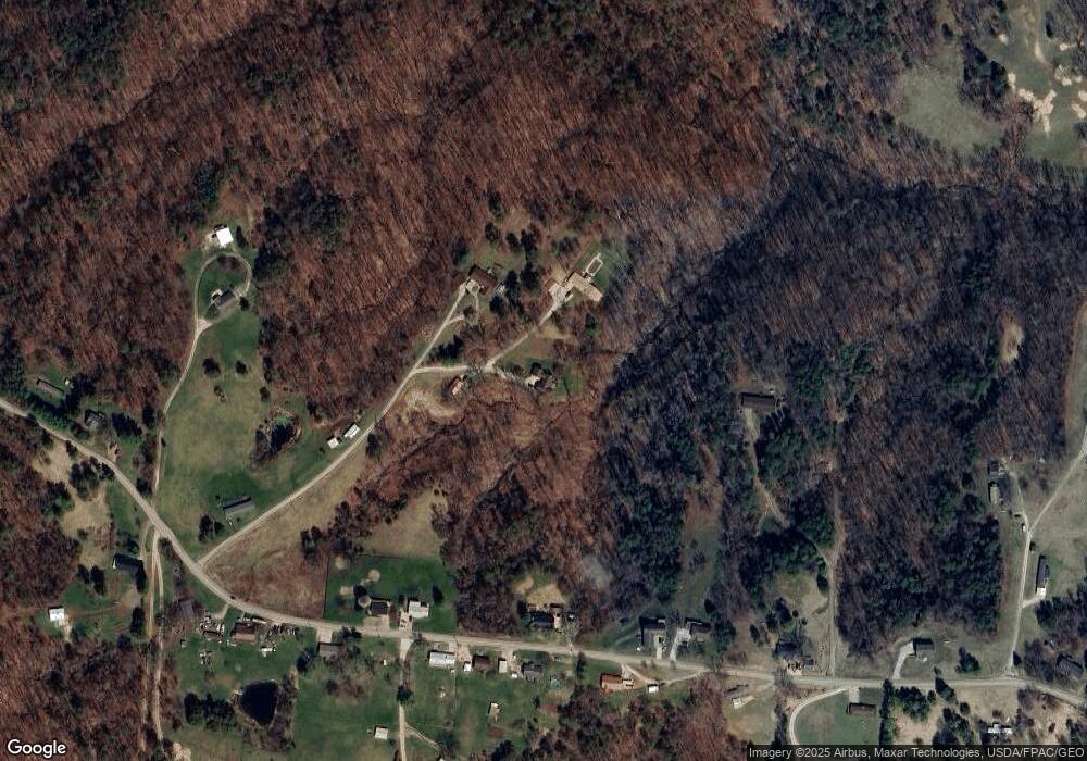
Map
Nearby Homes
- 28 Mcgill Rd
- 1556 Mcgill Rd
- 2207 Veto Rd
- 0 Brackenridge Rd Unit 23885979
- 0 Brackenridge Rd Unit 23885976
- 631 Short Brook Rd
- 265 James Ln
- 120 Fleming Dr
- 852 Wallace Rd
- 135 Knob Dr
- 464 Cave Hill Rd
- 735 Timberline Dr
- 545 Lewis Pointe Dr
- 1462 State Route 339
- 15 Oakmont Dr
- 1396 State Route 339
- 6570 State Route 339
- 19 Suzanne St
- 0 Layman Rd Unit 5162075
- 0 Layman Rd Unit 5162072