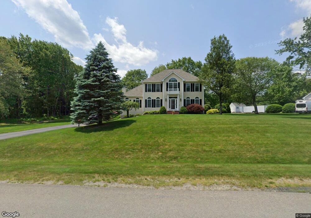
6 Angus Ave Londonderry, NH 03053
Estimated Value: $822,535 - $862,000
4
Beds
3
Baths
2,632
Sq Ft
$320/Sq Ft
Est. Value
About This Home
This home is located at 6 Angus Ave, Londonderry, NH 03053 and is currently estimated at $841,384, approximately $319 per square foot. 6 Angus Ave is a home with nearby schools including South Londonderry Elementary School, Londonderry Middle School, and Londonderry Senior High School.
Ownership History
Date
Name
Owned For
Owner Type
Purchase Details
Closed on
Apr 27, 1999
Sold by
Gold Leaf Homes Inc
Bought by
Mitchell Bryan E and Mitchell Rebecca L
Current Estimated Value
Create a Home Valuation Report for This Property
The Home Valuation Report is an in-depth analysis detailing your home's value as well as a comparison with similar homes in the area
Home Values in the Area
Average Home Value in this Area
Purchase History
| Date | Buyer | Sale Price | Title Company |
|---|---|---|---|
| Mitchell Bryan E | $239,900 | -- |
Source: Public Records
Mortgage History
| Date | Status | Borrower | Loan Amount |
|---|---|---|---|
| Open | Mitchell Bryan E | $50,000 | |
| Open | Mitchell Bryan E | $300,000 | |
| Closed | Mitchell Bryan E | $50,000 | |
| Closed | Mitchell Bryan E | $193,500 |
Source: Public Records
Tax History Compared to Growth
Tax History
| Year | Tax Paid | Tax Assessment Tax Assessment Total Assessment is a certain percentage of the fair market value that is determined by local assessors to be the total taxable value of land and additions on the property. | Land | Improvement |
|---|---|---|---|---|
| 2024 | $11,122 | $689,100 | $221,600 | $467,500 |
| 2023 | $10,784 | $689,100 | $221,600 | $467,500 |
| 2022 | $10,133 | $548,300 | $166,200 | $382,100 |
| 2021 | $10,078 | $548,300 | $166,200 | $382,100 |
| 2020 | $10,479 | $521,100 | $135,200 | $385,900 |
| 2019 | $10,104 | $521,100 | $135,200 | $385,900 |
| 2018 | $9,766 | $448,000 | $112,100 | $335,900 |
| 2017 | $9,681 | $448,000 | $112,100 | $335,900 |
| 2016 | $9,632 | $448,000 | $112,100 | $335,900 |
| 2015 | $9,417 | $448,000 | $112,100 | $335,900 |
| 2014 | $9,448 | $448,000 | $112,100 | $335,900 |
| 2011 | -- | $455,700 | $112,100 | $343,600 |
Source: Public Records
Map
Nearby Homes
- 9 Holstein Ave
- 24 Griffin Rd
- 24 Oakridge Dr
- 35 Mammoth Rd
- 9 Edgewood Dr
- 87 Oakridge Dr
- 79B Robinson Rd
- 16 Breakneck Rd
- 4 Elijah Hill Ln
- 7 Moulton Dr
- 19 Griffin Rd
- 2 Hopkins Dr Unit D
- 16 Mammoth Rd
- 2 2nd St
- 145 Canterbury Ln
- 155 Robinson Rd
- 38 Kendall Pond Rd
- 48 Kendall Pond Rd
- 33 Pendleton Ln
- 34 Pleasant Dr