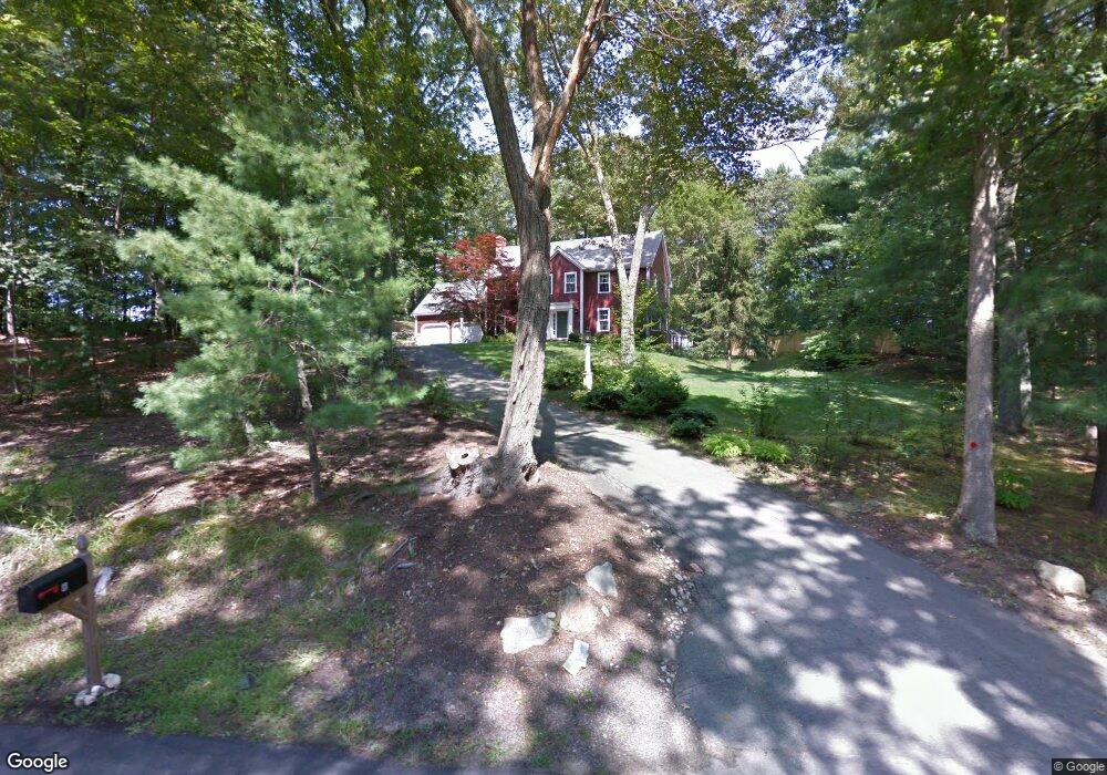
6 Bullukian Rd Franklin, MA 02038
Estimated Value: $927,000 - $1,012,000
4
Beds
4
Baths
2,675
Sq Ft
$363/Sq Ft
Est. Value
About This Home
This home is located at 6 Bullukian Rd, Franklin, MA 02038 and is currently estimated at $970,735, approximately $362 per square foot. 6 Bullukian Rd is a home located in Norfolk County with nearby schools including Helen Keller Elementary School, Annie Sullivan Middle School, and Franklin High School.
Ownership History
Date
Name
Owned For
Owner Type
Purchase Details
Closed on
Jun 24, 2024
Sold by
Barry John F and Racicot Corinne P
Bought by
Barry John F and Racicot Corinne P
Current Estimated Value
Purchase Details
Closed on
Mar 18, 1996
Sold by
King Gerald P and King Wayne L
Bought by
Barry John Fx
Home Financials for this Owner
Home Financials are based on the most recent Mortgage that was taken out on this home.
Original Mortgage
$135,000
Interest Rate
6.97%
Mortgage Type
Purchase Money Mortgage
Purchase Details
Closed on
Aug 22, 1990
Sold by
Macrose Corp
Bought by
Ring Gerald P
Create a Home Valuation Report for This Property
The Home Valuation Report is an in-depth analysis detailing your home's value as well as a comparison with similar homes in the area
Home Values in the Area
Average Home Value in this Area
Purchase History
| Date | Buyer | Sale Price | Title Company |
|---|---|---|---|
| Barry John F | -- | None Available | |
| Barry John F | -- | None Available | |
| Barry John Fx | $226,000 | -- | |
| Ring Gerald P | $259,300 | -- |
Source: Public Records
Mortgage History
| Date | Status | Borrower | Loan Amount |
|---|---|---|---|
| Previous Owner | Ring Gerald P | $50,000 | |
| Previous Owner | Ring Gerald P | $50,000 | |
| Previous Owner | Ring Gerald P | $135,000 |
Source: Public Records
Tax History Compared to Growth
Tax History
| Year | Tax Paid | Tax Assessment Tax Assessment Total Assessment is a certain percentage of the fair market value that is determined by local assessors to be the total taxable value of land and additions on the property. | Land | Improvement |
|---|---|---|---|---|
| 2025 | $9,717 | $836,200 | $367,500 | $468,700 |
| 2024 | $9,952 | $844,100 | $367,500 | $476,600 |
| 2023 | $9,421 | $748,900 | $351,200 | $397,700 |
| 2022 | $8,784 | $625,200 | $272,300 | $352,900 |
| 2021 | $7,899 | $539,200 | $262,500 | $276,700 |
| 2020 | $7,460 | $514,100 | $265,100 | $249,000 |
| 2019 | $7,176 | $489,500 | $240,600 | $248,900 |
| 2018 | $7,007 | $478,300 | $253,700 | $224,600 |
| 2017 | $7,087 | $486,100 | $261,500 | $224,600 |
| 2016 | $6,796 | $468,700 | $240,900 | $227,800 |
| 2015 | $6,613 | $445,600 | $217,800 | $227,800 |
| 2014 | $6,319 | $437,300 | $209,500 | $227,800 |
Source: Public Records
Map
Nearby Homes
- 33 Daniels St
- 41 Myrtle St
- 11 Waites Crossing
- 20 Waites Crossing
- 19 Waites Crossing
- 9 Waites Crossing
- 13 Waites Crossing
- 0 Toils End Rd
- 9 Elliot Mills Unit 5
- 8 Elliot Mills Unit 30
- 11 Elliot Mills Unit 6
- 5 Elliot Mills Unit 3
- 7 Elliot Mills Unit 4
- 10 Elliot Mills Unit 29
- 70 Daniels St
- 12 Waites Crossing Way
- 10 Silver Fox Rd
- 99 Leland Rd
- 292 Main St
- 12 Ariana Ln