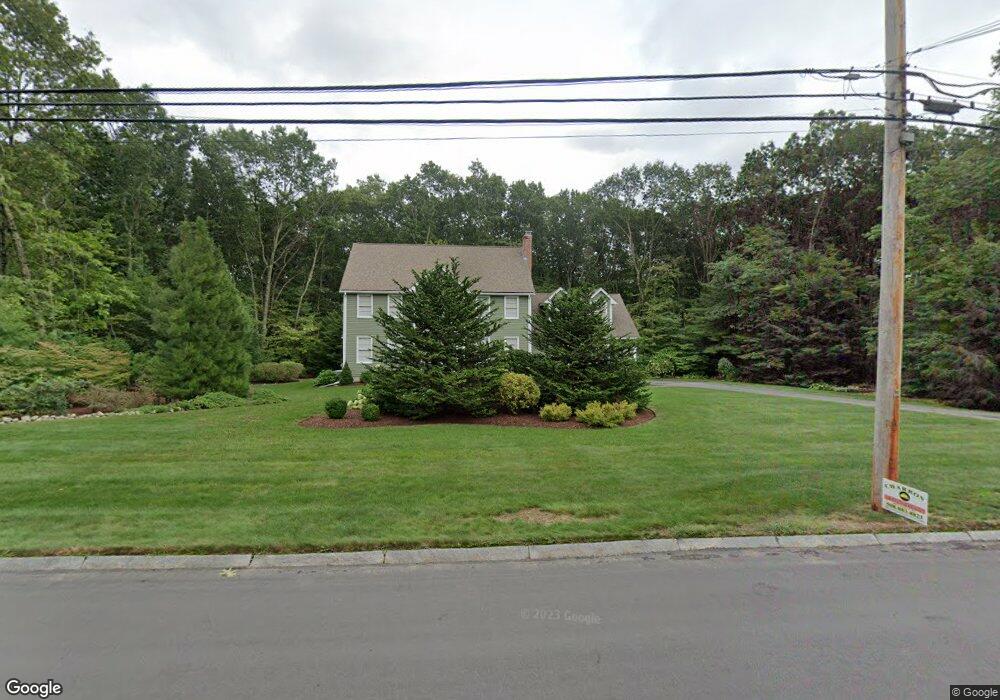
6 Peters Ln Franklin, MA 02038
Wadsworth NeighborhoodEstimated Value: $864,000 - $978,000
4
Beds
3
Baths
2,428
Sq Ft
$381/Sq Ft
Est. Value
About This Home
This home is located at 6 Peters Ln, Franklin, MA 02038 and is currently estimated at $925,352, approximately $381 per square foot. 6 Peters Ln is a home located in Norfolk County with nearby schools including Jefferson Elementary School, Remington Middle School, and Franklin High School.
Create a Home Valuation Report for This Property
The Home Valuation Report is an in-depth analysis detailing your home's value as well as a comparison with similar homes in the area
Home Values in the Area
Average Home Value in this Area
Tax History Compared to Growth
Tax History
| Year | Tax Paid | Tax Assessment Tax Assessment Total Assessment is a certain percentage of the fair market value that is determined by local assessors to be the total taxable value of land and additions on the property. | Land | Improvement |
|---|---|---|---|---|
| 2025 | $8,839 | $760,700 | $377,200 | $383,500 |
| 2024 | $9,090 | $771,000 | $377,200 | $393,800 |
| 2023 | $8,481 | $662,900 | $320,500 | $342,400 |
| 2022 | $8,950 | $637,000 | $333,800 | $303,200 |
| 2021 | $7,636 | $521,200 | $279,800 | $241,400 |
| 2020 | $7,397 | $509,800 | $279,800 | $230,000 |
| 2019 | $7,433 | $507,000 | $276,900 | $230,100 |
| 2018 | $7,180 | $490,100 | $282,800 | $207,300 |
| 2017 | $7,273 | $498,800 | $291,500 | $207,300 |
| 2016 | $6,919 | $477,200 | $267,300 | $209,900 |
| 2015 | $6,350 | $427,900 | $218,000 | $209,900 |
| 2014 | $6,420 | $444,300 | $234,400 | $209,900 |
Source: Public Records
Map
Nearby Homes
- 19 Peters Ln
- 9 Jefferson Rd
- 14 Stanford Rd
- 5 Wadsworth Farm Rd
- 4 Tobacco Rd
- 236 Williams St
- 13 Taft Dr
- 246 Washington St
- 2095 West St
- 4 Depoto Dr
- 153 Washington St
- 9 Spruce Pond Rd Unit 9
- 55 Blackberry Hill Rd
- 65 Bayberry Common Unit 65
- 1552 West St
- 40 Ray Rd
- 417 Union St
- 1 Joy St
- 40 Lawrence Dr Unit 40
- 71 Oxford Dr