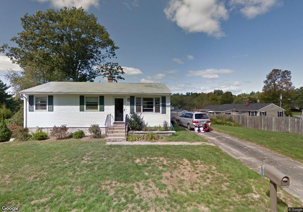
6 Winston Ave Dover, NH 03820
Dover Point NeighborhoodEstimated Value: $450,000 - $526,000
3
Beds
2
Baths
1,584
Sq Ft
$314/Sq Ft
Est. Value
About This Home
This home is located at 6 Winston Ave, Dover, NH 03820 and is currently estimated at $497,590, approximately $314 per square foot. 6 Winston Ave is a home located in Strafford County with nearby schools including Garrison School, Dover Middle School, and Dover Senior High School.
Ownership History
Date
Name
Owned For
Owner Type
Purchase Details
Closed on
Apr 21, 2006
Sold by
Whitehead Peter and Whitehead Gina
Bought by
Schlosser Thomas P and Schlosser Sharon E
Current Estimated Value
Home Financials for this Owner
Home Financials are based on the most recent Mortgage that was taken out on this home.
Original Mortgage
$235,000
Interest Rate
6.37%
Purchase Details
Closed on
Nov 6, 2003
Sold by
Prince John
Bought by
Whitehead Peter and Whitehead Gina
Home Financials for this Owner
Home Financials are based on the most recent Mortgage that was taken out on this home.
Original Mortgage
$179,500
Interest Rate
6.01%
Create a Home Valuation Report for This Property
The Home Valuation Report is an in-depth analysis detailing your home's value as well as a comparison with similar homes in the area
Home Values in the Area
Average Home Value in this Area
Purchase History
| Date | Buyer | Sale Price | Title Company |
|---|---|---|---|
| Schlosser Thomas P | $235,000 | -- | |
| Whitehead Peter | $179,500 | -- |
Source: Public Records
Mortgage History
| Date | Status | Borrower | Loan Amount |
|---|---|---|---|
| Open | Whitehead Peter | $224,350 | |
| Closed | Whitehead Peter | $235,000 | |
| Previous Owner | Whitehead Peter | $179,500 |
Source: Public Records
Tax History
| Year | Tax Paid | Tax Assessment Tax Assessment Total Assessment is a certain percentage of the fair market value that is determined by local assessors to be the total taxable value of land and additions on the property. | Land | Improvement |
|---|---|---|---|---|
| 2024 | $9,034 | $497,200 | $178,200 | $319,000 |
| 2023 | $7,919 | $423,500 | $162,000 | $261,500 |
| 2022 | $6,839 | $344,700 | $153,900 | $190,800 |
| 2021 | $5,581 | $257,200 | $129,600 | $127,600 |
| 2020 | $5,504 | $221,500 | $117,500 | $104,000 |
| 2019 | $5,423 | $215,300 | $113,400 | $101,900 |
| 2018 | $5,059 | $203,000 | $105,300 | $97,700 |
| 2017 | $4,757 | $183,900 | $89,100 | $94,800 |
| 2016 | $4,496 | $171,000 | $84,800 | $86,200 |
| 2015 | $4,385 | $164,800 | $80,600 | $84,200 |
| 2014 | $4,286 | $164,800 | $80,600 | $84,200 |
| 2011 | $3,630 | $144,500 | $68,500 | $76,000 |
Source: Public Records
Map
Nearby Homes
- 15 Teresa Dr
- 6 Hayden Dr
- 55 Pointe Place Unit 108
- 55 Pointe Place Unit 101
- 55 Pointe Place Unit 201
- 55 Pointe Place Unit 304
- 13 Stark Ave
- 51 Constitution Way
- 6 Revolution Dr
- 1 Independence Dr
- 14 Independence Dr
- 99 Back River Rd
- 20 Lenox Dr Unit c
- 22 Lenox Dr Unit D
- 29 Lenox Dr Unit B
- 16 Lenox Dr Unit C
- 15 Lenox Dr Unit A
- 26 Lenox Dr Unit D
- 23 Lenox Dr Unit A
- 181 Central Ave
- 4 Winston Ave
- 25 Middlebrook Rd
- 23 Middlebrook Rd
- 21 Middlebrook Rd
- 5 Winston Ave
- 2 Winston Ave
- 7 Winston Ave
- 3 Winston Ave
- 9 Winston Ave
- 19 Middlebrook Rd
- 1 Winston Ave
- 22 Middlebrook Rd
- 20 Middlebrook Rd
- 6 Salem Ave
- 8 Applevale Dr
- 6 Applevale Dr
- 32 Applevale Dr
- 4 Applevale Dr
- 2 Applevale Dr
- 8 Salem Ave
Your Personal Tour Guide
Ask me questions while you tour the home.