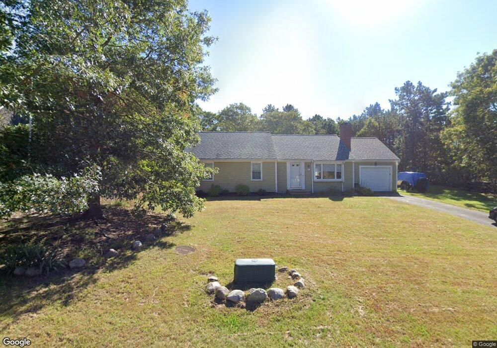
60 Burning Bush Rd Mashpee, MA 02649
Estimated Value: $534,000 - $610,000
3
Beds
2
Baths
1,001
Sq Ft
$571/Sq Ft
Est. Value
About This Home
This home is located at 60 Burning Bush Rd, Mashpee, MA 02649 and is currently estimated at $571,426, approximately $570 per square foot. 60 Burning Bush Rd is a home located in Barnstable County with nearby schools including Kenneth C. Coombs School, Quashnet School, and Mashpee Middle School.
Ownership History
Date
Name
Owned For
Owner Type
Purchase Details
Closed on
Feb 29, 2000
Sold by
Petrillo David P and Petrillo Deborah A
Bought by
Baumann Terrance M and Baumann Gwendolyn M
Current Estimated Value
Create a Home Valuation Report for This Property
The Home Valuation Report is an in-depth analysis detailing your home's value as well as a comparison with similar homes in the area
Home Values in the Area
Average Home Value in this Area
Purchase History
| Date | Buyer | Sale Price | Title Company |
|---|---|---|---|
| Baumann Terrance M | $150,300 | -- |
Source: Public Records
Mortgage History
| Date | Status | Borrower | Loan Amount |
|---|---|---|---|
| Open | Baumann Terrance M | $139,000 | |
| Closed | Baumann Terrance M | $128,000 | |
| Closed | Baumann Terrance M | $119,700 |
Source: Public Records
Tax History Compared to Growth
Tax History
| Year | Tax Paid | Tax Assessment Tax Assessment Total Assessment is a certain percentage of the fair market value that is determined by local assessors to be the total taxable value of land and additions on the property. | Land | Improvement |
|---|---|---|---|---|
| 2025 | $3,252 | $491,200 | $197,500 | $293,700 |
| 2024 | $2,955 | $459,500 | $179,600 | $279,900 |
| 2023 | $2,809 | $400,700 | $171,000 | $229,700 |
| 2022 | $2,670 | $326,800 | $139,000 | $187,800 |
| 2021 | $2,540 | $280,000 | $125,200 | $154,800 |
| 2020 | $2,467 | $271,400 | $120,400 | $151,000 |
| 2019 | $2,358 | $260,500 | $120,400 | $140,100 |
| 2018 | $2,138 | $239,700 | $120,400 | $119,300 |
| 2017 | $2,101 | $228,600 | $120,400 | $108,200 |
| 2016 | $2,042 | $221,000 | $120,400 | $100,600 |
| 2015 | $1,964 | $215,600 | $120,400 | $95,200 |
| 2014 | $2,009 | $214,000 | $118,900 | $95,100 |
Source: Public Records
Map
Nearby Homes
- 235 Main St
- 35 Claulise Ln
- 20 Windsor Way
- 100 Great Neck Rd N Unit 3
- 100 Great Neck Rd N Unit 1003
- 26 Collins Ln
- 45 Pequot Rd
- 22 Stratford Ridge Unit 22
- 30 Windsor Point
- 90 Lakewood Dr
- 5 Darby Point Unit 5
- 4 Bishops Park
- 6 Mayfair Ct
- 6 Mayfair Ct Unit 6
- 295 Pheasant Hill Cir
- 45 Fox Hill Rd
- 16 Balfour Ln
- 16 Spring Brook Ln
- 22 Candlewood Ln
- 68 Fox Hill Rd
- 54 Burning Bush Rd
- 220 Noisy Hole Rd
- 214 Noisy Hole Rd
- 39 Scenic Dr
- 33 Scenic Dr
- 61 Burning Bush Rd
- 24 Burning Bush Rd
- 48 Burning Bush Rd
- 53 Burning Bush Rd
- 45 Scenic Dr
- 27 Scenic Dr
- 45 Burning Bush Rd
- 217 Noisy Hole Rd
- 44 Burning Bush Rd
- 21 Scenic Dr
- 40 Scenic Dr
- 32 Scenic Dr
- 39 Burning Bush Rd
- 48 Scenic Dr
- 26 Scenic Dr