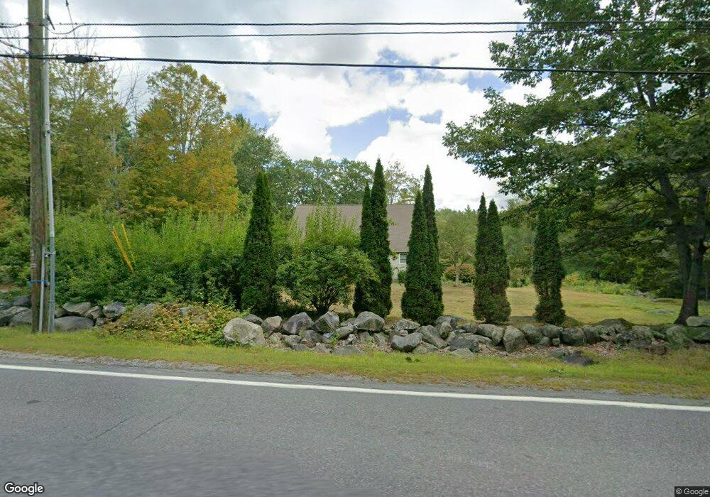
60 Forest Rd Lyndeborough, NH 03082
Estimated Value: $473,000 - $610,000
2
Beds
4
Baths
2,580
Sq Ft
$212/Sq Ft
Est. Value
About This Home
This home is located at 60 Forest Rd, Lyndeborough, NH 03082 and is currently estimated at $547,660, approximately $212 per square foot. 60 Forest Rd is a home located in Hillsborough County with nearby schools including Lyndeborough Central School, Wilton-Lyndeborough Cooperative Middle School, and Wilton-Lyndeborough Cooperative High School.
Ownership History
Date
Name
Owned For
Owner Type
Purchase Details
Closed on
Jun 3, 2004
Sold by
Perry Edward Joslin T
Bought by
Stlaurent Shawn M
Current Estimated Value
Home Financials for this Owner
Home Financials are based on the most recent Mortgage that was taken out on this home.
Original Mortgage
$225,000
Interest Rate
5.94%
Mortgage Type
Purchase Money Mortgage
Create a Home Valuation Report for This Property
The Home Valuation Report is an in-depth analysis detailing your home's value as well as a comparison with similar homes in the area
Home Values in the Area
Average Home Value in this Area
Purchase History
| Date | Buyer | Sale Price | Title Company |
|---|---|---|---|
| Stlaurent Shawn M | $82,000 | -- |
Source: Public Records
Mortgage History
| Date | Status | Borrower | Loan Amount |
|---|---|---|---|
| Open | Stlaurent Shawn M | $223,000 | |
| Closed | Stlaurent Shawn M | $225,000 |
Source: Public Records
Tax History
| Year | Tax Paid | Tax Assessment Tax Assessment Total Assessment is a certain percentage of the fair market value that is determined by local assessors to be the total taxable value of land and additions on the property. | Land | Improvement |
|---|---|---|---|---|
| 2025 | $7,363 | $433,900 | $137,000 | $296,900 |
| 2024 | $7,256 | $280,600 | $82,000 | $198,600 |
| 2023 | $6,670 | $280,600 | $82,000 | $198,600 |
| 2022 | $6,201 | $280,600 | $82,000 | $198,600 |
| 2021 | $6,201 | $280,600 | $82,000 | $198,600 |
| 2020 | $5,988 | $280,600 | $82,000 | $198,600 |
| 2019 | $6,941 | $238,200 | $77,300 | $160,900 |
| 2018 | $6,720 | $238,200 | $77,300 | $160,900 |
| 2017 | $6,608 | $238,200 | $77,300 | $160,900 |
| 2016 | $6,608 | $238,200 | $77,300 | $160,900 |
| 2015 | $6,024 | $238,200 | $77,300 | $160,900 |
| 2013 | $6,430 | $267,900 | $88,100 | $179,800 |
Source: Public Records
Map
Nearby Homes
- 41 Cooper Ln
- 58-6-2 Duggin Rd
- 58-2 Davisville Rd
- 6 Mottau Dr
- 25 Burns Hill Rd
- F88-9 McGettigan Rd
- F/88-5 McGettigan Rd
- F/88-4 McGettigan Rd
- F88-10 McGettigan Rd
- Lots 4 & 7 Gibbons & Robbins Rd
- 113 Gulf Rd
- 143 Falcon Ridge Rd Unit 23
- 85 Intervale Rd
- 33 Falcon Ridge Rd Unit 33
- 77 Salisbury Rd
- F-88-11 Aria Hill Dr
- F-88-12 Aria Hill Dr
- F-88-7 Aria Hill Dr
- 16 Cortland Rd
- 47 Birch Hill Rd
- 64 Forest Rd
- 47 Forest Rd
- 69 Forest Rd
- 77 Forest Rd
- 78 Forest Rd
- 77 Glass Factory Rd
- 84 Forest Rd
- 26 Forest Rd
- 72 Glass Factory Rd
- 87 Forest Rd
- 66 Glass Factory Rd
- 59 Forest Rd
- 100 Forest Rd
- 55 Glass Factory Rd
- 107 Forest Rd
- 114 Forest Rd
- 47 Glass Factory Rd
- 7 Forest Rd
- 113 Forest Rd
- 5 Cider Mill Rd
Your Personal Tour Guide
Ask me questions while you tour the home.