Estimated Value: $373,000 - $441,000
3
Beds
2
Baths
1,547
Sq Ft
$256/Sq Ft
Est. Value
About This Home
This home is located at 60 Old Poor Farm Rd, Ware, MA 01082 and is currently estimated at $395,338, approximately $255 per square foot. 60 Old Poor Farm Rd is a home located in Hampshire County with nearby schools including Stanley M. Koziol Elementary School, Ware Middle School, and Ware Junior/Senior High School.
Ownership History
Date
Name
Owned For
Owner Type
Purchase Details
Closed on
Sep 29, 1995
Sold by
Scott Clifford J and Scott Kathleen M
Bought by
Pollack David A and Pollack Joyce A
Current Estimated Value
Create a Home Valuation Report for This Property
The Home Valuation Report is an in-depth analysis detailing your home's value as well as a comparison with similar homes in the area
Home Values in the Area
Average Home Value in this Area
Purchase History
| Date | Buyer | Sale Price | Title Company |
|---|---|---|---|
| Pollack David A | $115,000 | -- |
Source: Public Records
Mortgage History
| Date | Status | Borrower | Loan Amount |
|---|---|---|---|
| Open | Pollack David A | $50,800 | |
| Open | Pollack David A | $104,000 | |
| Closed | Pollack David A | $50,000 | |
| Closed | Pollack David A | $16,400 |
Source: Public Records
Tax History
| Year | Tax Paid | Tax Assessment Tax Assessment Total Assessment is a certain percentage of the fair market value that is determined by local assessors to be the total taxable value of land and additions on the property. | Land | Improvement |
|---|---|---|---|---|
| 2025 | $4,801 | $318,800 | $55,000 | $263,800 |
| 2024 | $4,613 | $282,500 | $51,900 | $230,600 |
| 2023 | $4,479 | $259,500 | $50,300 | $209,200 |
| 2022 | $4,328 | $223,800 | $46,500 | $177,300 |
| 2021 | $4,187 | $207,500 | $46,500 | $161,000 |
| 2020 | $4,002 | $194,000 | $46,500 | $147,500 |
| 2019 | $3,921 | $194,000 | $46,500 | $147,500 |
| 2018 | $3,773 | $182,200 | $45,300 | $136,900 |
| 2017 | $3,651 | $175,800 | $45,300 | $130,500 |
| 2016 | $3,553 | $175,800 | $45,300 | $130,500 |
| 2015 | $3,454 | $175,800 | $45,300 | $130,500 |
| 2014 | $3,479 | $190,000 | $47,100 | $142,900 |
Source: Public Records
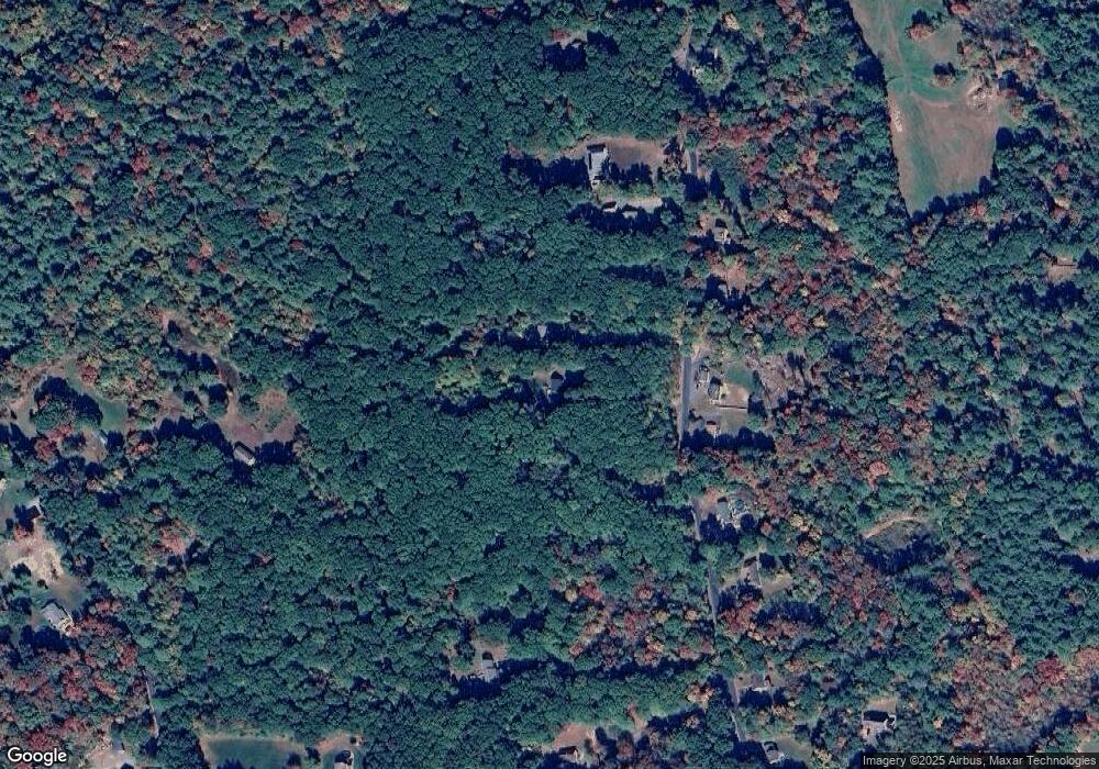
Map
Nearby Homes
- 91 Old Poor Farm Rd
- 267 Osborne Rd
- 6 Winslow Rd
- 261 Greenwich Rd
- 84 Greenwich Rd
- 194 Old Greenwich Plain Rd
- 51 Monson Turnpike Rd Unit 1052
- 0 Hardwick Pond Rd
- 375 Belchertown Rd
- 24 Monson Turnpike Rd
- Lot 7 Monson Turnpike Rd
- Lot 1 Monson Turnpike Rd
- 24 Clinton St
- 0 Beach Rd
- 14 Bellevue Ave
- 99 North St
- 22 Vigeant St
- 87 W Main St
- Lot 16 Coldbrook Dr
- Lot 20 Coldbrook Dr
- 66 Old Poor Farm Rd
- 61 Old Poor Farm Rd
- 59 Old Poor Farm Rd
- 59 Old Poor Farm Rd Unit SF
- 59 Old Poor Farm Rd Unit 1
- 70 Old Poor Farm Rd
- 65 Old Poor Farm Rd
- 55 Old Poor Farm Rd
- 67 Old Poor Farm Rd
- 67 Old Poor Farm Rd Unit Ware
- 72 Old Poor Farm Rd
- 53 Old Poor Farm Rd
- 50 Old Poor Farm Rd
- 199 Greenwich Plns Rd
- 76 Old Poor Farm Rd
- 49 Old Poor Farm Rd
- 75 Old Poor Farm Rd
- 51 Old Poor Farm Rd
- 46 Old Poor Farm Rd
- 78 Old Poor Farm Rd
Your Personal Tour Guide
Ask me questions while you tour the home.