600 Cedar Ridge Ln High Point, NC 27265
Estimated Value: $1,071,307 - $1,523,000
4
Beds
5
Baths
5,138
Sq Ft
$252/Sq Ft
Est. Value
About This Home
This home is located at 600 Cedar Ridge Ln, High Point, NC 27265 and is currently estimated at $1,294,769, approximately $251 per square foot. 600 Cedar Ridge Ln is a home located in Davidson County with nearby schools including Friendship Elementary School, Ledford Middle School, and Ledford High School.
Ownership History
Date
Name
Owned For
Owner Type
Purchase Details
Closed on
Aug 30, 2017
Sold by
Stroup Ronald Wayne and Stroup Christine S
Bought by
Cavanaugh John P and Cavanaugh Sydney W
Current Estimated Value
Home Financials for this Owner
Home Financials are based on the most recent Mortgage that was taken out on this home.
Original Mortgage
$520,000
Outstanding Balance
$434,935
Interest Rate
3.96%
Mortgage Type
New Conventional
Estimated Equity
$859,834
Purchase Details
Closed on
Apr 1, 1995
Create a Home Valuation Report for This Property
The Home Valuation Report is an in-depth analysis detailing your home's value as well as a comparison with similar homes in the area
Home Values in the Area
Average Home Value in this Area
Purchase History
| Date | Buyer | Sale Price | Title Company |
|---|---|---|---|
| Cavanaugh John P | $685,000 | None Available | |
| -- | $109,000 | -- |
Source: Public Records
Mortgage History
| Date | Status | Borrower | Loan Amount |
|---|---|---|---|
| Open | Cavanaugh John P | $520,000 |
Source: Public Records
Tax History Compared to Growth
Tax History
| Year | Tax Paid | Tax Assessment Tax Assessment Total Assessment is a certain percentage of the fair market value that is determined by local assessors to be the total taxable value of land and additions on the property. | Land | Improvement |
|---|---|---|---|---|
| 2025 | $5,428 | $834,890 | $0 | $0 |
| 2024 | $5,263 | $834,890 | $0 | $0 |
| 2023 | $4,577 | $726,040 | $0 | $0 |
| 2022 | $4,577 | $726,040 | $0 | $0 |
| 2021 | $4,577 | $726,040 | $0 | $0 |
| 2020 | $4,255 | $674,950 | $0 | $0 |
| 2019 | $4,320 | $674,950 | $0 | $0 |
| 2018 | $4,320 | $674,950 | $0 | $0 |
| 2017 | $3,976 | $641,310 | $0 | $0 |
| 2016 | $3,976 | $641,310 | $0 | $0 |
| 2015 | $3,976 | $641,310 | $0 | $0 |
| 2014 | $4,089 | $670,300 | $0 | $0 |
Source: Public Records
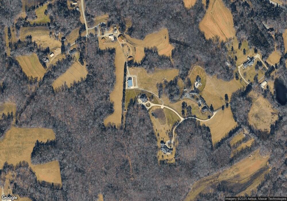
Map
Nearby Homes
- 163 Emily Ct
- 00 Chestnut Street Extension
- 0 Chestnut Street Extension
- 201 Cascade Dr
- 2925 Fernley Ct
- 219 Cascade Dr
- 304 Cascade Dr
- 2908 Maggie Ct
- 606 Dorado Cir
- 2809 Churchill Ct
- 246 Merry Hills Dr
- 0 Laura Ln
- 2801 Swan Lake Dr
- 1706 Windsor Dr
- 308 Canterbury Rd
- 2729 Croquet Cir
- 2731 Croquet Cir
- 00 Hilton Dr
- 453 Ledford Cir
- 0 Hilton Dr
- 701 Cedar Ridge Ln
- 265 Hayworth Rd
- 319 Hayworth Rd
- 250 Cedar Ridge Ln
- 4673 Chestnut Street Extension
- 1650 N Old Greensboro Rd
- 1650 N Old Greensboro Rd
- 563 Clay Huey Rd
- 4692 Chestnut Street Extension
- 1757 N Old Greensboro Rd
- 4738 Chestnut Street Extension
- 4784 Chestnut Street Extension
- 428 Clay Huey Rd
- 1526 N Old Greensboro Rd
- 1567 N Old Greensboro Rd
- 428 & 563 Clay Huey
- 4548 Chestnut Street Extension
- 4383 Chestnut Street Extension
- 1537 N Old Greensboro Rd
- 4880 Chestnut Street Extension