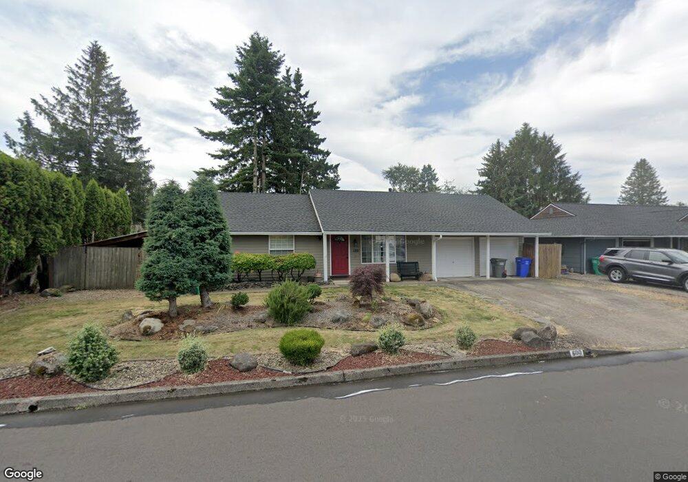
600 NE 20th Dr Unit 1 Gresham, OR 97030
North Central NeighborhoodEstimated Value: $398,000 - $449,000
3
Beds
2
Baths
1,384
Sq Ft
$310/Sq Ft
Est. Value
About This Home
This home is located at 600 NE 20th Dr Unit 1, Gresham, OR 97030 and is currently estimated at $428,942, approximately $309 per square foot. 600 NE 20th Dr Unit 1 is a home located in Multnomah County with nearby schools including Highland Elementary School, Clear Creek Middle School, and Gresham High School.
Ownership History
Date
Name
Owned For
Owner Type
Purchase Details
Closed on
Dec 14, 2016
Sold by
Elliott Craig L
Bought by
Alvarez Vanessa L and Alvarez Francisco A
Current Estimated Value
Home Financials for this Owner
Home Financials are based on the most recent Mortgage that was taken out on this home.
Original Mortgage
$271,884
Outstanding Balance
$219,098
Interest Rate
3.54%
Mortgage Type
FHA
Estimated Equity
$209,844
Purchase Details
Closed on
Jul 29, 1998
Sold by
Hazen Clifton J and Hazen Wendy L
Bought by
Elliott Craig L and Elliott Erika J
Home Financials for this Owner
Home Financials are based on the most recent Mortgage that was taken out on this home.
Original Mortgage
$128,528
Interest Rate
6.9%
Mortgage Type
FHA
Create a Home Valuation Report for This Property
The Home Valuation Report is an in-depth analysis detailing your home's value as well as a comparison with similar homes in the area
Home Values in the Area
Average Home Value in this Area
Purchase History
| Date | Buyer | Sale Price | Title Company |
|---|---|---|---|
| Alvarez Vanessa L | $276,900 | Lawyers | |
| Elliott Craig L | $129,900 | Pacific Nw Title |
Source: Public Records
Mortgage History
| Date | Status | Borrower | Loan Amount |
|---|---|---|---|
| Open | Alvarez Vanessa L | $271,884 | |
| Previous Owner | Elliott Craig L | $128,528 |
Source: Public Records
Tax History
| Year | Tax Paid | Tax Assessment Tax Assessment Total Assessment is a certain percentage of the fair market value that is determined by local assessors to be the total taxable value of land and additions on the property. | Land | Improvement |
|---|---|---|---|---|
| 2025 | $4,257 | $209,210 | -- | -- |
| 2024 | $4,075 | $203,120 | -- | -- |
| 2023 | $3,713 | $197,210 | $0 | $0 |
| 2022 | $3,609 | $191,470 | $0 | $0 |
| 2021 | $3,518 | $185,900 | $0 | $0 |
| 2020 | $3,311 | $180,490 | $0 | $0 |
| 2019 | $3,224 | $175,240 | $0 | $0 |
| 2018 | $3,074 | $170,140 | $0 | $0 |
| 2017 | $2,949 | $165,190 | $0 | $0 |
| 2016 | $2,600 | $160,380 | $0 | $0 |
Source: Public Records
Map
Nearby Homes
- 450 NE 22nd St
- 1783 1791 NE Beech Place
- 349 NE 18th St
- 535 NE 24th St
- 2775 NE Linden Ave
- 1035 SE 225th Ave
- 2730 NE Roberts Ave
- 54 NW 13th St
- 894 NE Linden Ave
- 660 NE 9th St
- 1830 NE Hogan Dr Unit 83
- 1802 NE Hogan Dr Unit 97
- 1722 NE Hogan Dr Unit 103
- 1514 NE Hogan Dr Unit 131
- 1556 NE 27th Terrace
- 1812 NE 19th St Unit 27
- 1935 NE 19th St Unit 56
- 1308 NE Hogan Dr Unit 166
- 1302 NE Hogan Dr
- 491 NE Elliott Ave
Your Personal Tour Guide
Ask me questions while you tour the home.