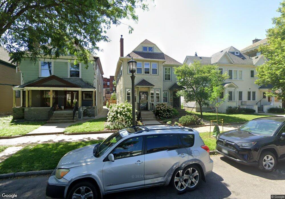
600 Portland Ave Saint Paul, MN 55102
Summit-University NeighborhoodEstimated Value: $495,000 - $699,000
5
Beds
2
Baths
2,824
Sq Ft
$226/Sq Ft
Est. Value
About This Home
This home is located at 600 Portland Ave, Saint Paul, MN 55102 and is currently estimated at $637,266, approximately $225 per square foot. 600 Portland Ave is a home located in Ramsey County with nearby schools including Maxfield Magnet Elementary School, Jackson Elementary, and Hidden River Middle School.
Ownership History
Date
Name
Owned For
Owner Type
Purchase Details
Closed on
Aug 14, 2015
Sold by
Schmidt Steven Steven
Bought by
Houghton Thomas Thomas
Current Estimated Value
Home Financials for this Owner
Home Financials are based on the most recent Mortgage that was taken out on this home.
Original Mortgage
$369,600
Outstanding Balance
$289,796
Interest Rate
3.94%
Estimated Equity
$347,470
Create a Home Valuation Report for This Property
The Home Valuation Report is an in-depth analysis detailing your home's value as well as a comparison with similar homes in the area
Home Values in the Area
Average Home Value in this Area
Purchase History
| Date | Buyer | Sale Price | Title Company |
|---|---|---|---|
| Houghton Thomas Thomas | $462,000 | -- |
Source: Public Records
Mortgage History
| Date | Status | Borrower | Loan Amount |
|---|---|---|---|
| Open | Houghton Thomas Thomas | $369,600 |
Source: Public Records
Tax History Compared to Growth
Tax History
| Year | Tax Paid | Tax Assessment Tax Assessment Total Assessment is a certain percentage of the fair market value that is determined by local assessors to be the total taxable value of land and additions on the property. | Land | Improvement |
|---|---|---|---|---|
| 2025 | $8,882 | $537,900 | $120,100 | $417,800 |
| 2023 | $8,882 | $540,700 | $120,100 | $420,600 |
| 2022 | $7,806 | $536,700 | $120,100 | $416,600 |
| 2021 | $7,266 | $477,700 | $120,100 | $357,600 |
| 2020 | $7,202 | $460,700 | $120,100 | $340,600 |
| 2019 | $6,694 | $424,000 | $120,100 | $303,900 |
| 2018 | $6,496 | $390,200 | $120,100 | $270,100 |
| 2017 | $5,414 | $389,700 | $120,100 | $269,600 |
| 2016 | $5,124 | $0 | $0 | $0 |
| 2015 | $4,570 | $308,100 | $110,900 | $197,200 |
| 2014 | $5,906 | $0 | $0 | $0 |
Source: Public Records
Map
Nearby Homes
- 579 Summit Ave Unit 105
- 582 Summit Ave
- 562 Summit Ave Unit 4
- 542 Portland Ave
- 635 Grand Ave Unit 4
- 565 Holly Ave
- 545 Holly Ave
- 614 Grand Ave Unit C
- 614 Grand Ave Unit 3EE
- 520 Holly Ave
- 506 Summit Ave
- 28 Saint Albans St N Unit 4N
- 496 Holly Ave Unit 1
- 506 Grand Hill
- 657 Lincoln Ave
- 676 Ashland Ave Unit 6
- 518 Laurel Ave
- 704 Holly Ave
- 670 Lincoln Ave
- 11 Summit Ct Unit 11
- 600/602 Portland Ave
- 596 Portland Ave
- 604 Portland Ave
- 592 Portland Ave
- 586 Portland Ave
- 614 Portland Ave
- 601 Summit Ave
- 599 Summit Ave
- 597 Summit Ave
- 595 Summit Ave
- 605 Summit Ave
- 593 Summit Ave
- 591 Summit Ave
- 580 Portland Ave
- 17xx Dale St N
- 599 Portland Ave
- 605 Portland Ave
- 589 Summit Ave
- 591 Portland Ave
- 587 Summit Ave