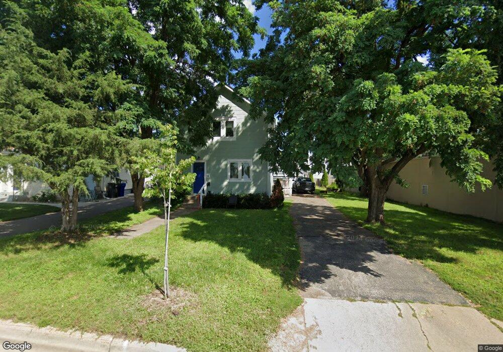
601 Topping St Saint Paul, MN 55103
North End NeighborhoodEstimated Value: $202,767 - $303,000
4
Beds
2
Baths
1,670
Sq Ft
$147/Sq Ft
Est. Value
About This Home
This home is located at 601 Topping St, Saint Paul, MN 55103 and is currently estimated at $244,942, approximately $146 per square foot. 601 Topping St is a home located in Ramsey County with nearby schools including Como Park Elementary School, Murray Middle School, and Como Park Senior High School.
Ownership History
Date
Name
Owned For
Owner Type
Purchase Details
Closed on
Apr 18, 2016
Sold by
Krenz Jeff and Krenz Amy
Bought by
Behan Michael G
Current Estimated Value
Home Financials for this Owner
Home Financials are based on the most recent Mortgage that was taken out on this home.
Original Mortgage
$114,950
Outstanding Balance
$91,321
Interest Rate
3.68%
Mortgage Type
New Conventional
Estimated Equity
$153,621
Purchase Details
Closed on
Mar 11, 2011
Sold by
U S Bank National Assoc
Bought by
Krenz Jeff
Purchase Details
Closed on
Aug 22, 2001
Sold by
Nelson Dina H and Nelson Michael
Bought by
Pierce Mark and Pierce Marilyn
Create a Home Valuation Report for This Property
The Home Valuation Report is an in-depth analysis detailing your home's value as well as a comparison with similar homes in the area
Home Values in the Area
Average Home Value in this Area
Purchase History
| Date | Buyer | Sale Price | Title Company |
|---|---|---|---|
| Behan Michael G | $121,000 | Titlesmart Inc | |
| Krenz Jeff | $63,650 | -- | |
| Pierce Mark | $62,150 | -- |
Source: Public Records
Mortgage History
| Date | Status | Borrower | Loan Amount |
|---|---|---|---|
| Open | Behan Michael G | $114,950 |
Source: Public Records
Tax History Compared to Growth
Tax History
| Year | Tax Paid | Tax Assessment Tax Assessment Total Assessment is a certain percentage of the fair market value that is determined by local assessors to be the total taxable value of land and additions on the property. | Land | Improvement |
|---|---|---|---|---|
| 2025 | $3,676 | $269,100 | $25,000 | $244,100 |
| 2023 | $3,676 | $228,900 | $20,000 | $208,900 |
| 2022 | $2,894 | $209,900 | $20,000 | $189,900 |
| 2021 | $2,656 | $178,300 | $14,200 | $164,100 |
| 2020 | $2,016 | $169,800 | $14,200 | $155,600 |
| 2019 | $2,064 | $124,500 | $2,100 | $122,400 |
| 2018 | $1,966 | $126,100 | $14,200 | $111,900 |
| 2017 | $2,016 | $126,300 | $14,200 | $112,100 |
| 2016 | $2,348 | $0 | $0 | $0 |
| 2015 | $2,194 | $110,700 | $14,200 | $96,500 |
| 2014 | $1,916 | $0 | $0 | $0 |
Source: Public Records
Map
Nearby Homes
- 552 Burgess St
- 352 Como Ave
- 569 Hatch Ave
- 705 Como Ave
- 1049 Kent St
- 631 Van Buren Ave
- 1063 Dale St N
- 740 Como Ave
- 646 Van Buren Ave
- 511 Van Buren Ave
- 553 Blair Ave
- 547 Blair Ave
- 632 Blair Ave
- 751 Van Buren Ave
- 956 Western Ave N
- 1104 MacKubin St
- 359 Stinson St W
- 1040 Cumberland St
- 989 Barrett St
- 686 Lafond Ave
- 601 Topping St Unit 1
- 603 Topping St
- 607 Topping St
- 602 Burgess St
- 606 Burgess St
- 610 Burgess St
- 594 Burgess St
- 598 Burgess St
- 586 Burgess St
- 576 Burgess St
- xx Como Ave
- 601 Burgess St
- 595 Burgess St
- 591 Burgess St
- 587 Burgess St
- 585 Burgess St
- 583 Burgess St
- 564 Burgess St
- 920-926 Dale
- 903 Dale St N