Estimated Value: $292,443 - $506,000
2
Beds
2
Baths
2,075
Sq Ft
$184/Sq Ft
Est. Value
About This Home
This home is located at 6016 Us Highway 264a W, Sims, NC 27880 and is currently estimated at $382,361, approximately $184 per square foot. 6016 Us Highway 264a W is a home located in Wilson County with nearby schools including James Hunt High School, Rock Ridge Elementary School, and Springfield Middle School.
Ownership History
Date
Name
Owned For
Owner Type
Purchase Details
Closed on
Oct 8, 2025
Sold by
F & B Development Llc
Bought by
Croatan Land Company Llc
Current Estimated Value
Purchase Details
Closed on
Aug 24, 2023
Sold by
Christenson Linda and Christenson Zachary X
Bought by
F & B Development Company Llc
Purchase Details
Closed on
Apr 19, 2023
Sold by
Daniel Albert Lynn and Daniel Laura R
Bought by
Christenson Linda and Martin Zachary X
Purchase Details
Closed on
Feb 25, 2020
Sold by
C & A Gfsp Joint Venture
Bought by
Christenson Linda and Martin Zackary X
Purchase Details
Closed on
Jun 11, 2007
Sold by
Hall Jeffrey A and Hall Kelly H
Bought by
C & A Gfsp Joint Venture
Create a Home Valuation Report for This Property
The Home Valuation Report is an in-depth analysis detailing your home's value as well as a comparison with similar homes in the area
Home Values in the Area
Average Home Value in this Area
Purchase History
| Date | Buyer | Sale Price | Title Company |
|---|---|---|---|
| Croatan Land Company Llc | $1,750,000 | None Listed On Document | |
| F & B Development Company Llc | -- | None Listed On Document | |
| F & B Development Company Llc | $650,000 | None Listed On Document | |
| Christenson Linda | -- | None Listed On Document | |
| Christenson Linda | -- | None Available | |
| C & A Gfsp Joint Venture | $230,000 | None Available |
Source: Public Records
Tax History Compared to Growth
Tax History
| Year | Tax Paid | Tax Assessment Tax Assessment Total Assessment is a certain percentage of the fair market value that is determined by local assessors to be the total taxable value of land and additions on the property. | Land | Improvement |
|---|---|---|---|---|
| 2025 | $876 | $122,769 | $62,547 | $60,222 |
| 2024 | $876 | $122,769 | $62,547 | $60,222 |
| 2023 | $799 | $90,169 | $50,547 | $39,622 |
| 2022 | $0 | $90,169 | $50,547 | $39,622 |
| 2021 | $754 | $90,169 | $50,547 | $39,622 |
| 2020 | $754 | $90,169 | $50,547 | $39,622 |
| 2019 | $789 | $90,169 | $50,547 | $39,622 |
| 2018 | $789 | $90,169 | $50,547 | $39,622 |
| 2017 | $754 | $90,169 | $50,547 | $39,622 |
| 2016 | $759 | $90,169 | $50,547 | $39,622 |
| 2014 | $942 | $112,962 | $48,292 | $64,670 |
Source: Public Records
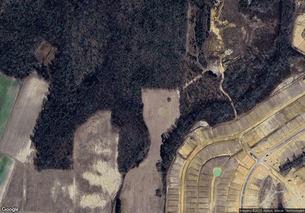
Map
Nearby Homes
- 5809 Millstone Way
- 5822 Millstone Way
- 5818 Millstone Way
- 5817 Millstone Way
- 5811 Millstone Way
- 5815 Millstone Way
- 5819 Millstone Way
- 5820 Millstone Way
- 5808 Millstone Way
- 5810 Millstone Way
- 5826 Millstone Way
- 5823 Millstone Way
- 5812 Millstone Way
- 5825 Millstone Way
- 5813 Millstone Way
- 5823 Millstone Way W
- Morgan Plan at Mill Stone Creek - Carolina Collection
- 5817 Millstone Way W
- 5825 Millstone Way W
- 5809 Millstone Way W
- 6016 W Us 264a Hwy
- 6026 Us Highway 264a W
- 6016 U S 264 Alternate
- 6530 Old Davis Rd
- 00 Us 264a Hwy
- 6064 Us Highway 264a W
- 6522 Old Davis Rd
- 6066 Us Highway 264a W Unit B
- 6066 Us Highway 264a W
- 6066 Us Highway 264a W Unit G
- 6516 Old Davis Rd
- 6508 Dolphus Ln
- 6510 Old Davis Rd
- 6522 Dolphus Ln
- 6504 Old Davis Rd
- 6509 Dolphus Ln
- 6538 Dolphus Ln
- 5745 Us Highway 264a W
- 6501 Old Davis Rd
- 6474 Old Davis Rd